Camp Vandeventer
2012
This map was field checked at a troop campout In November 2011. It is accurate to 10m in the main camp area, and to 20m on some outskirt trails.
Open Office Draw Map
MapSource Files
Historic Maps
(ca ~1966) Map found in second floor storage area of council office.
(ca ~1990) Cover page to 51 page report on the caves of Camp Vandeventer. Full report available on request with appropriate credentials. I was given this report on the condition that it not be widely disseminated.
(ca ~1995) Map found in basement of Swaim Lodge
Back Side of the same map showing the now largely overgrown "Eagle Trail."
CV1995.pdf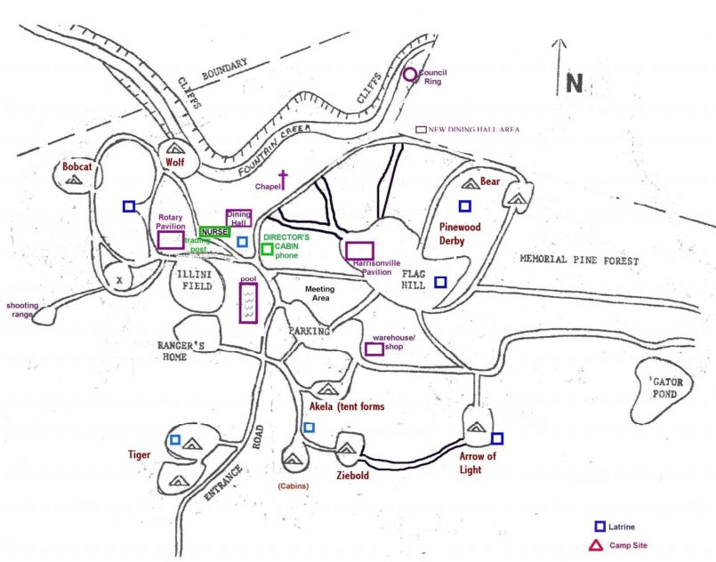
(ca ~2000)
CV2000.pdf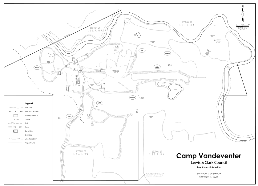
(ca ~2008) Found online.
CV2008.pdf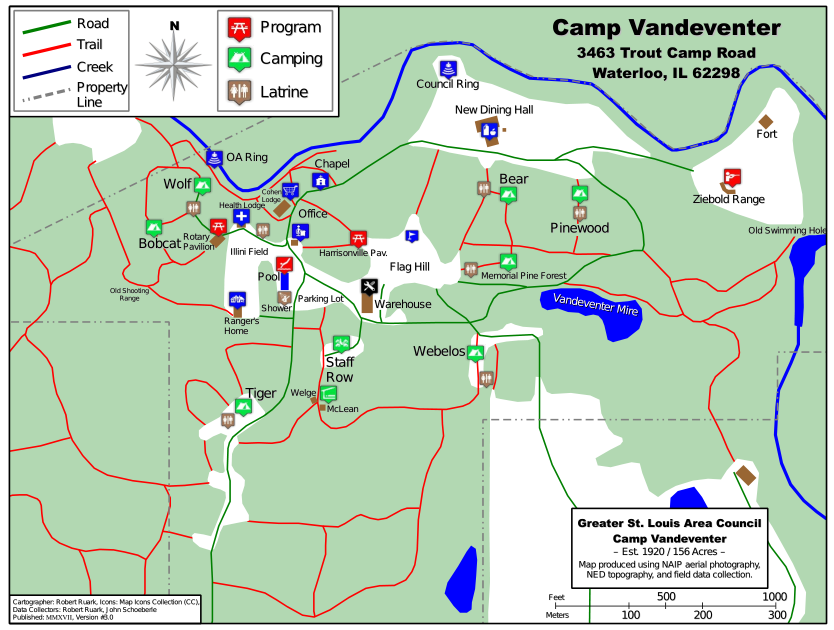
Current Council Map
cvGSLAC.pdf