Camp Warren Levis
2012
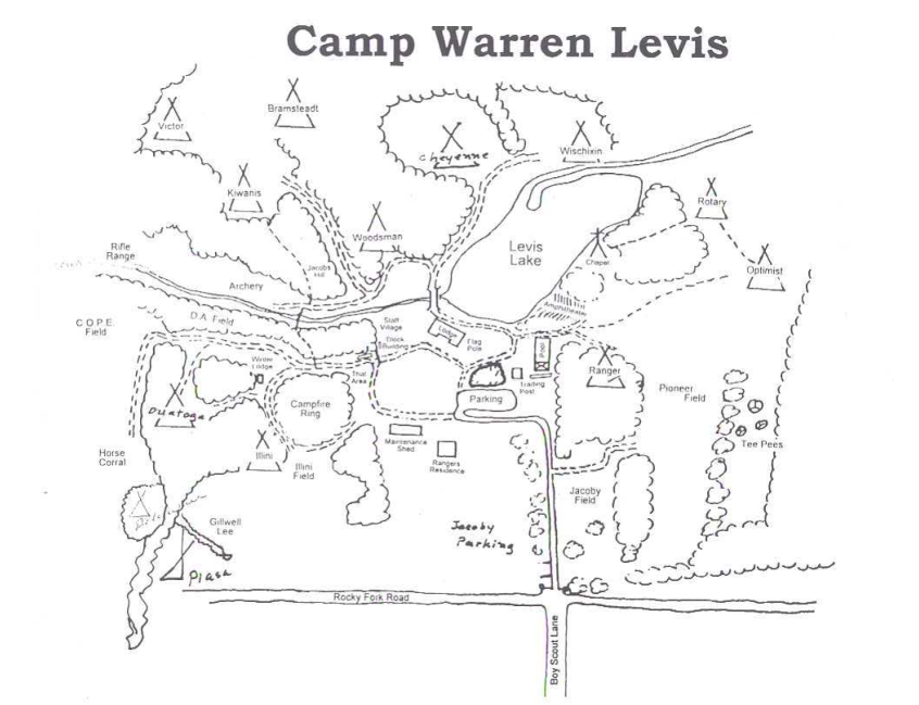
This map was field checked at the 2011 Fall Reunion at Camp Warren Levis. This map is accurate in the main camp area to 10m, but the horse trails were plotted solely from aerial photography.
Open Office Draw Map
2017 Map2019 Map
Source Files
The Trails West Council combined with the Okaw Valley Council in 2009 to form the Lewis & Clark Council. This was a short lived and likely planned construction to prepare the councils for annexation into the Greater St. Louis Area Council in 2017. I updated my old maps with the new council name and sent them to someone in the new council. Someone then made new maps from the source and removed attribution. I most recently updated this map in 2019.
Historic Maps
(ca ~2000) Map Found on Council Website
CWL_2000.pdf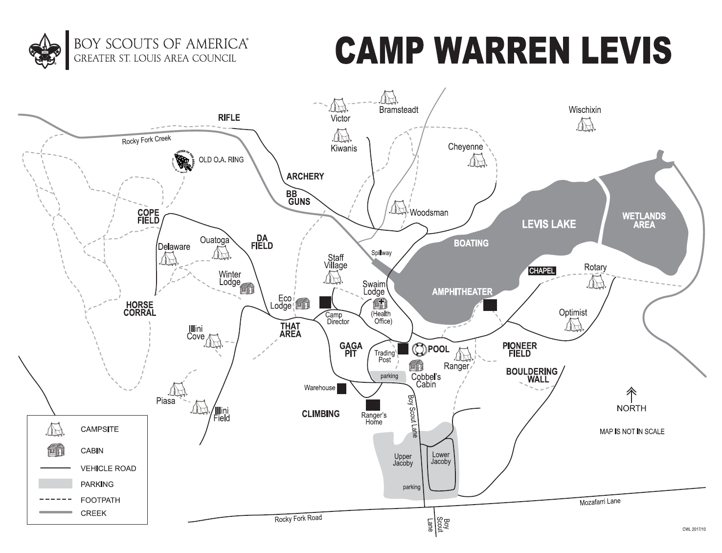
Current Council Map
CWL_GSLAC.pdf