Accessible Islands of San Juan County
2025
To confirm the accuracy of my public access map, I visited all of the publically accessible islands in San Juan county in the summer of 2025. I don't intend for this to serve as a generally applicable overview of each island: I focus on details pertinent to the area around where I accessed each island and on details that stood out to me.
With the exception of Guss Island, every island detailed on this page is accessible to the public. This page is organized according to the same categories as the map.
Islands With County Dock Facilities
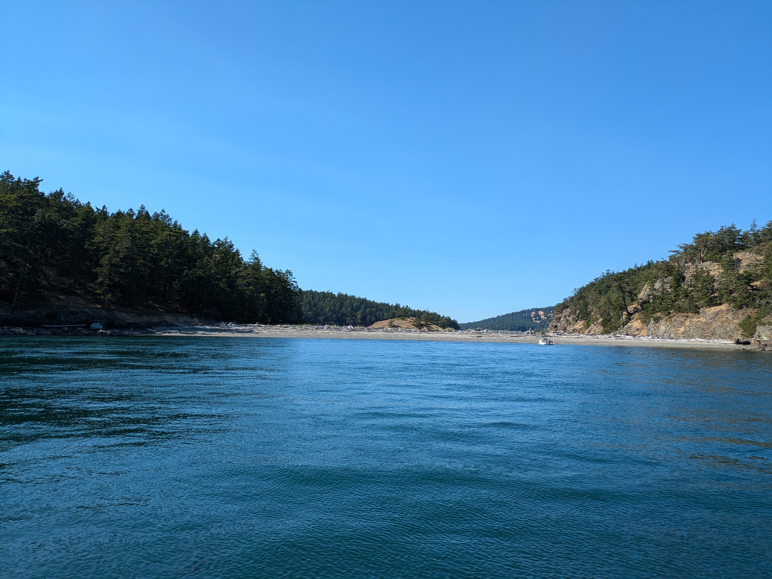
San Juan County maintains docks and rocks on several islands. Some of these islands receive Washington State Ferry service, and no islands without county docks have ferry service.
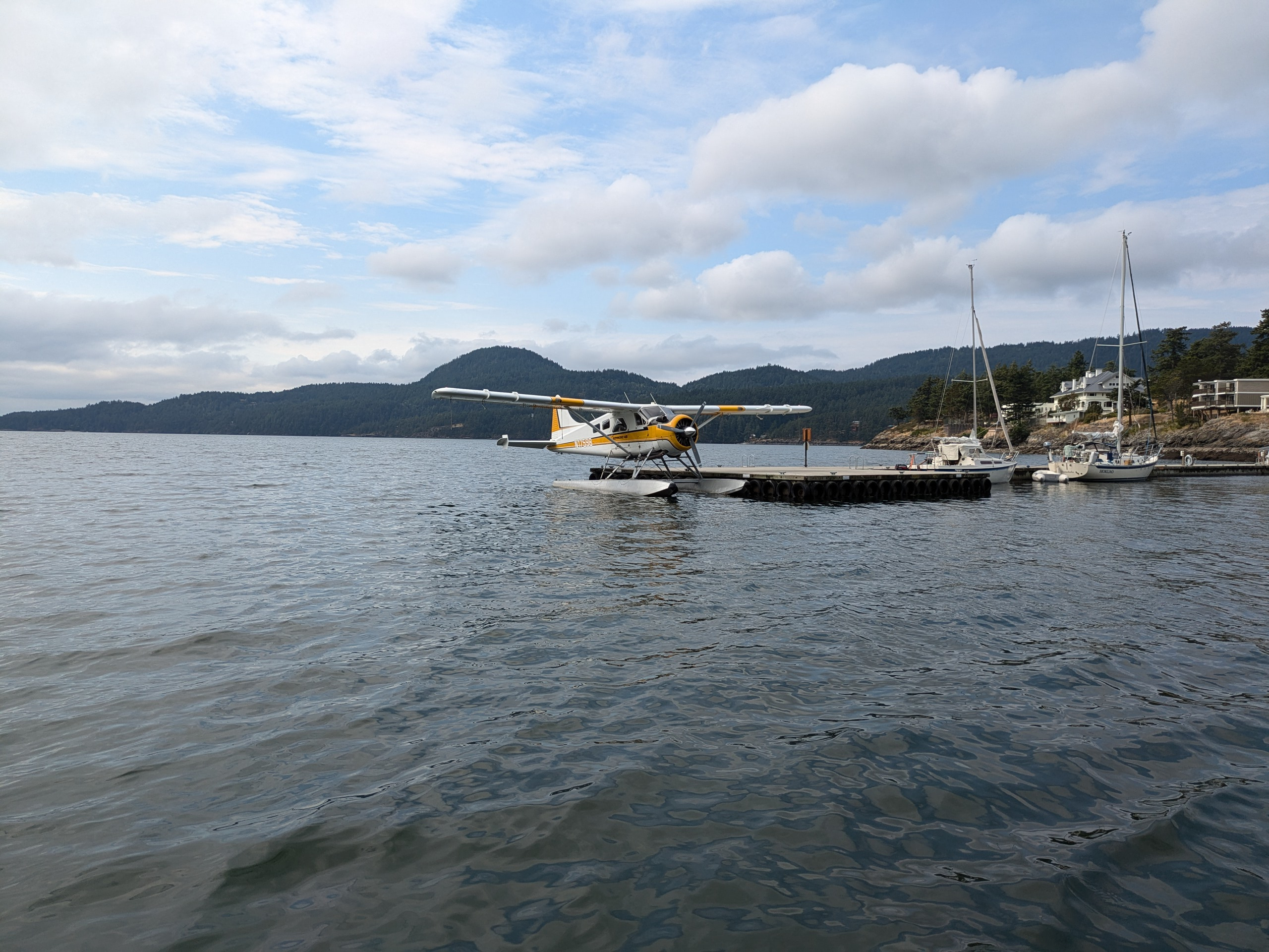
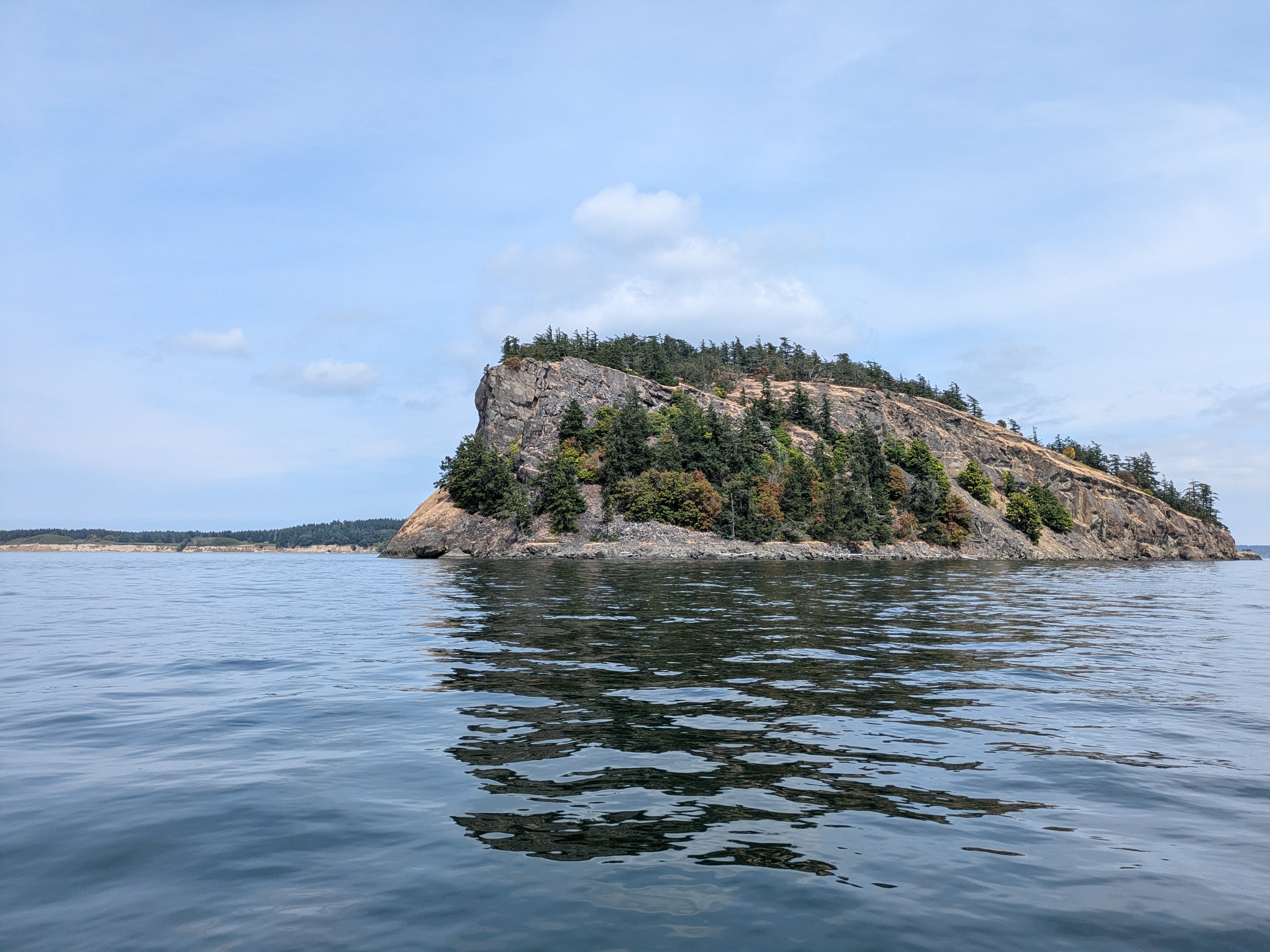
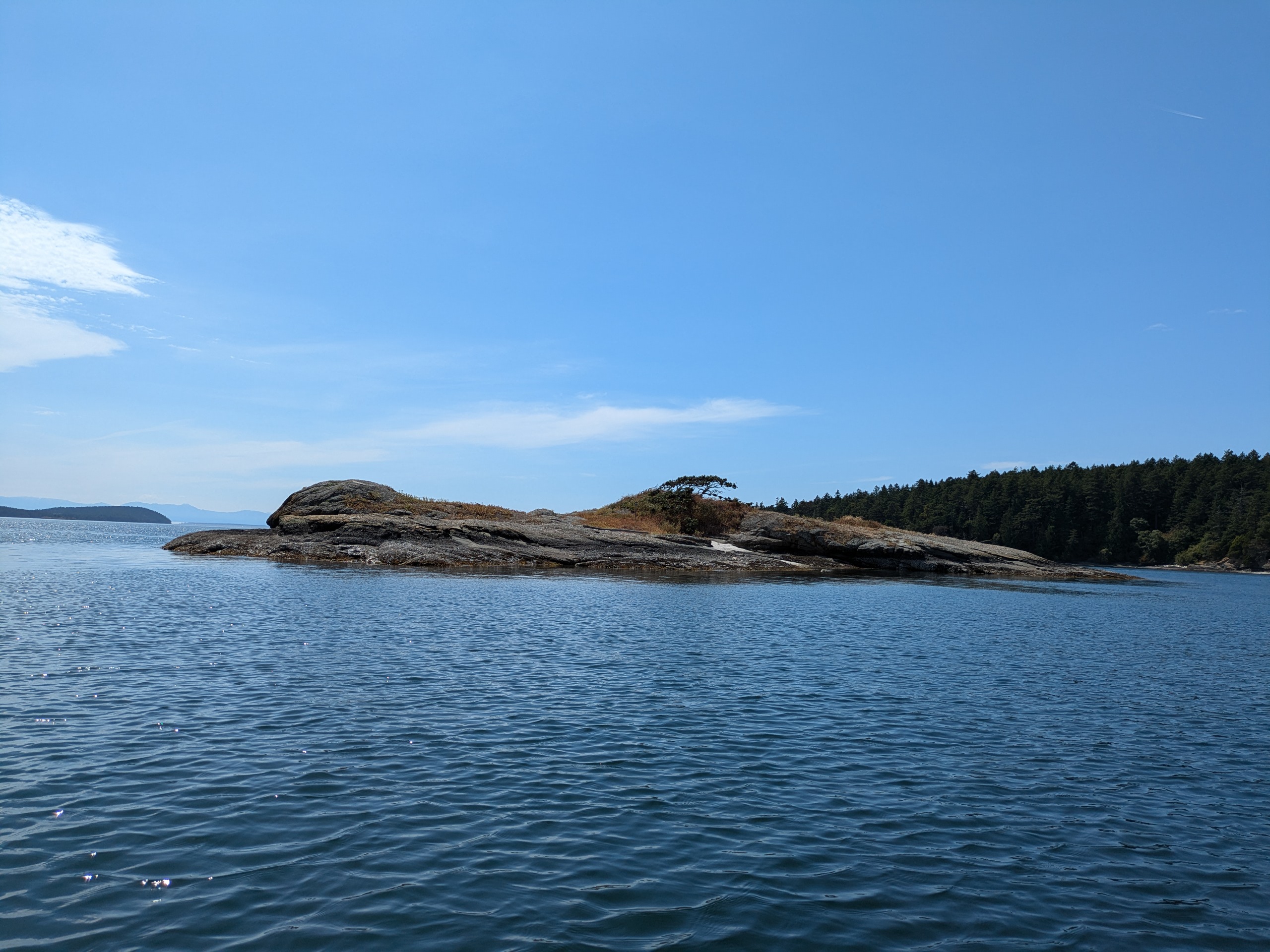
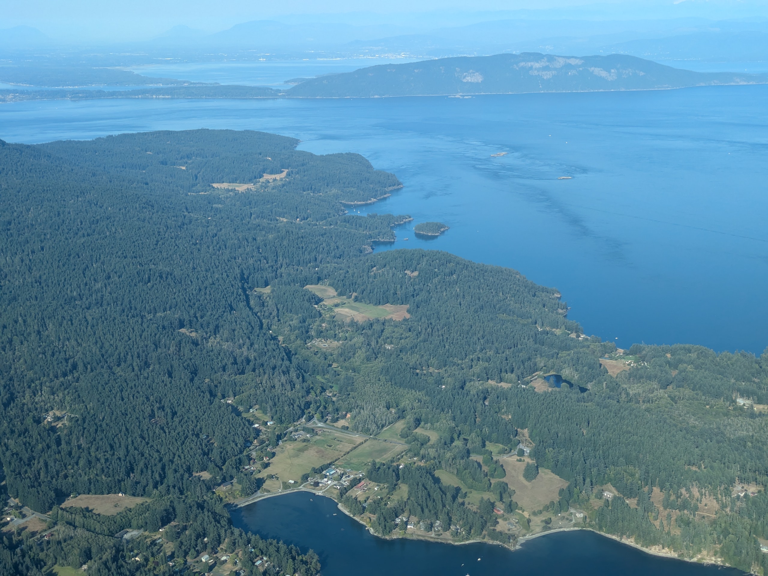
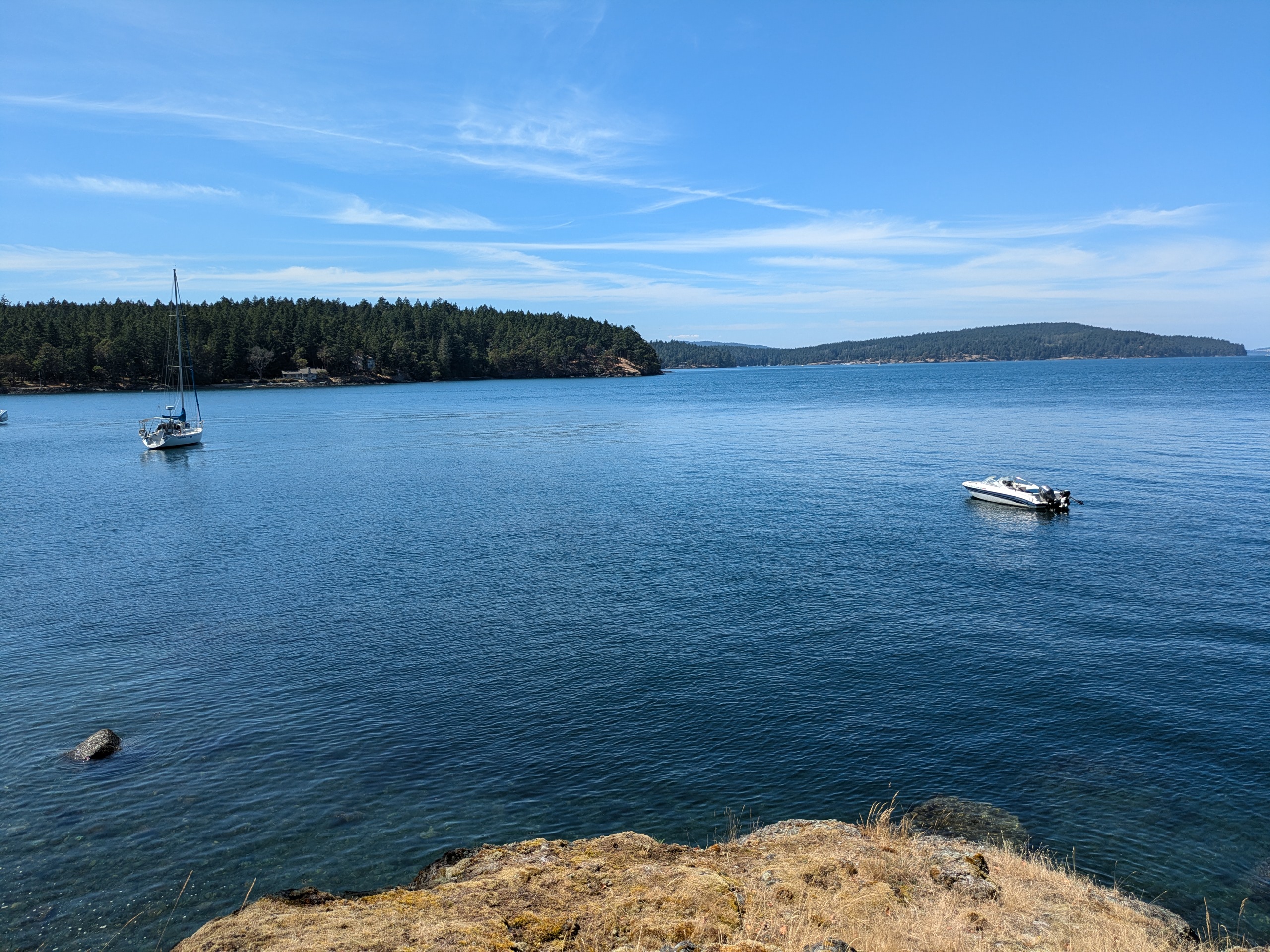
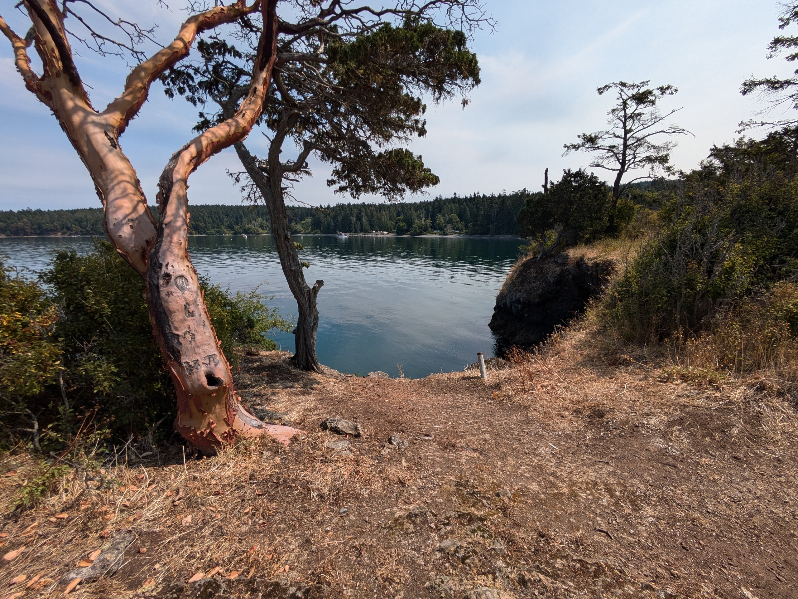
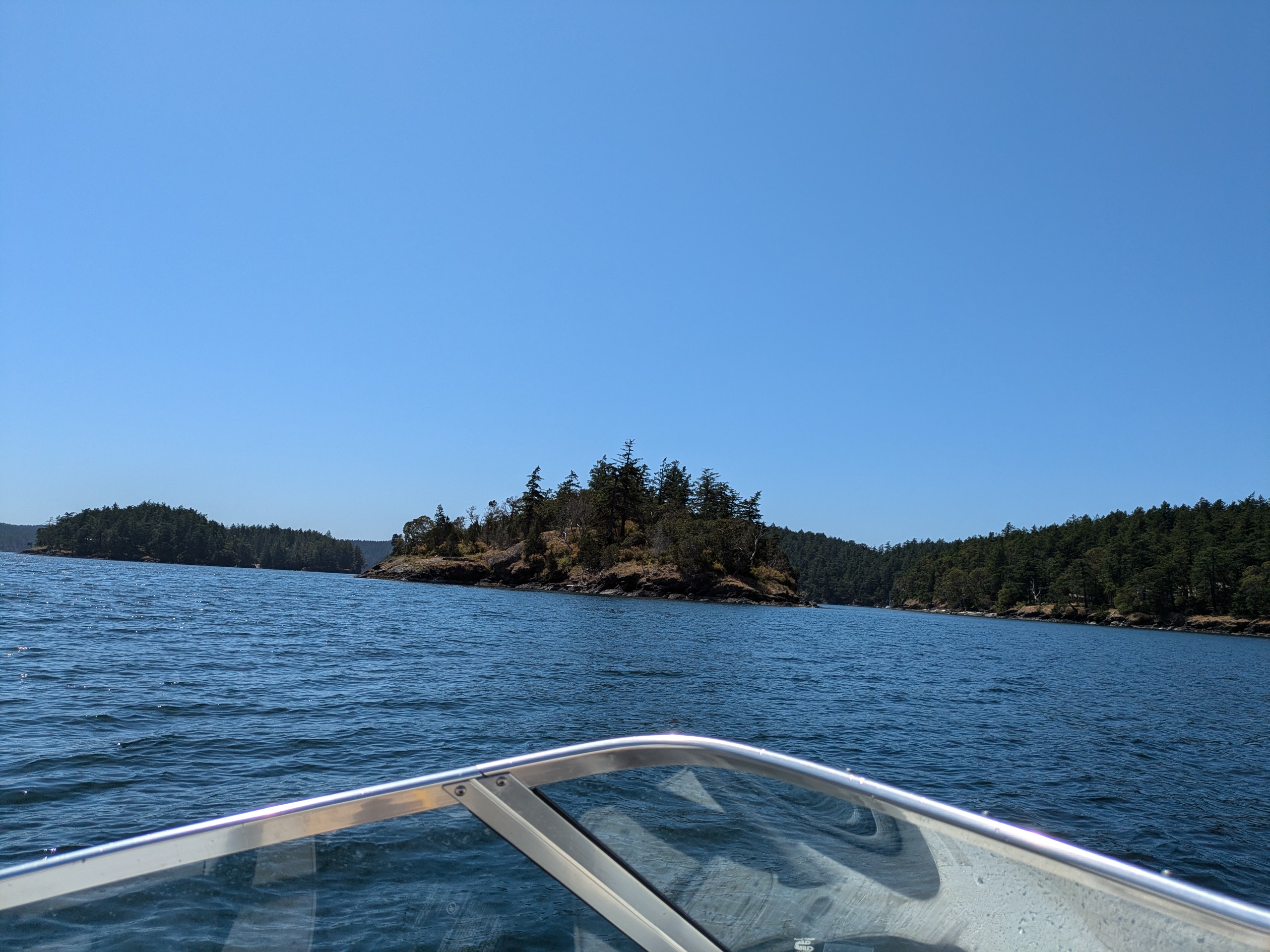
San Juan Island
- Access: Ferry service, land and sea planes, county dock, private marinas.
- Date Accessed: 7/4/25
- Size: 35200 Acres
- Population: 8632
- Ownership: Mixed
- Notes: Friday Harbor is the only incorporated city in San Juan county, and it has a human mayor.
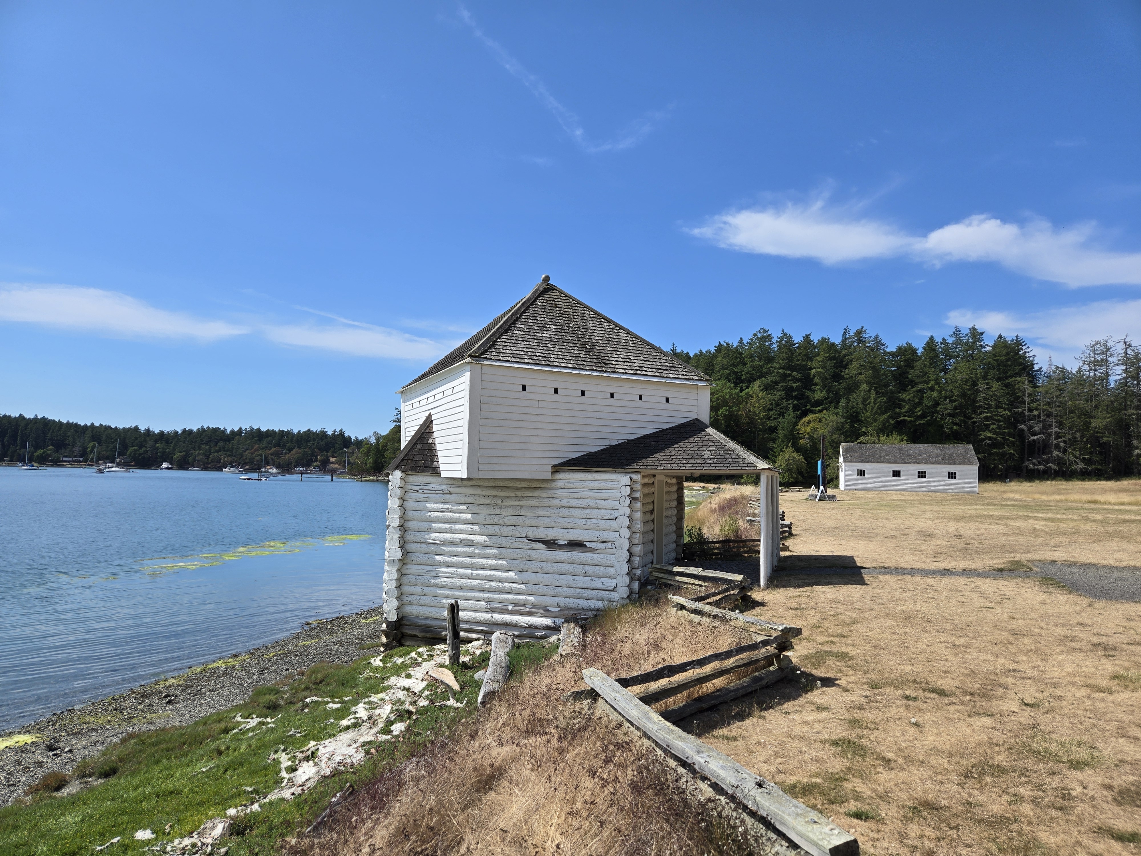
Blockhouse at English Camp - San Juan Island National Historical Park
Roche Harbor Marina Seaplane Traffic
San Juan Island is the largest and most populous island in San Juan county. It is also the one most visited by tourists as a result of the ferry dropping off walk on passengers right into downtown Friday Harbor. That makes it possible to have a day trip on the island. No other island has a ferry terminal located a walkable downtown area. The Port of Friday Harbor is next to the Ferry terminal and typically has ample free day use parking making it easy to boat over for lunch or dinner.
Roche Harbor is the other large harbor on the island and is the summer home of many yachts and sailboats owned by residents of Seattle. Both Friday harbor and Roche harbor are served by Kenmore airline which connects Lake Union to these marinas and which also connects Boeing Field in Seattle to Friday Harbor Airport.
Despite and because San Juan island is the most visited and most populous San Juan island, it feels the least like a San Juan island. Its downtown feels more like a city on the mainland than like any other settlement in the county.
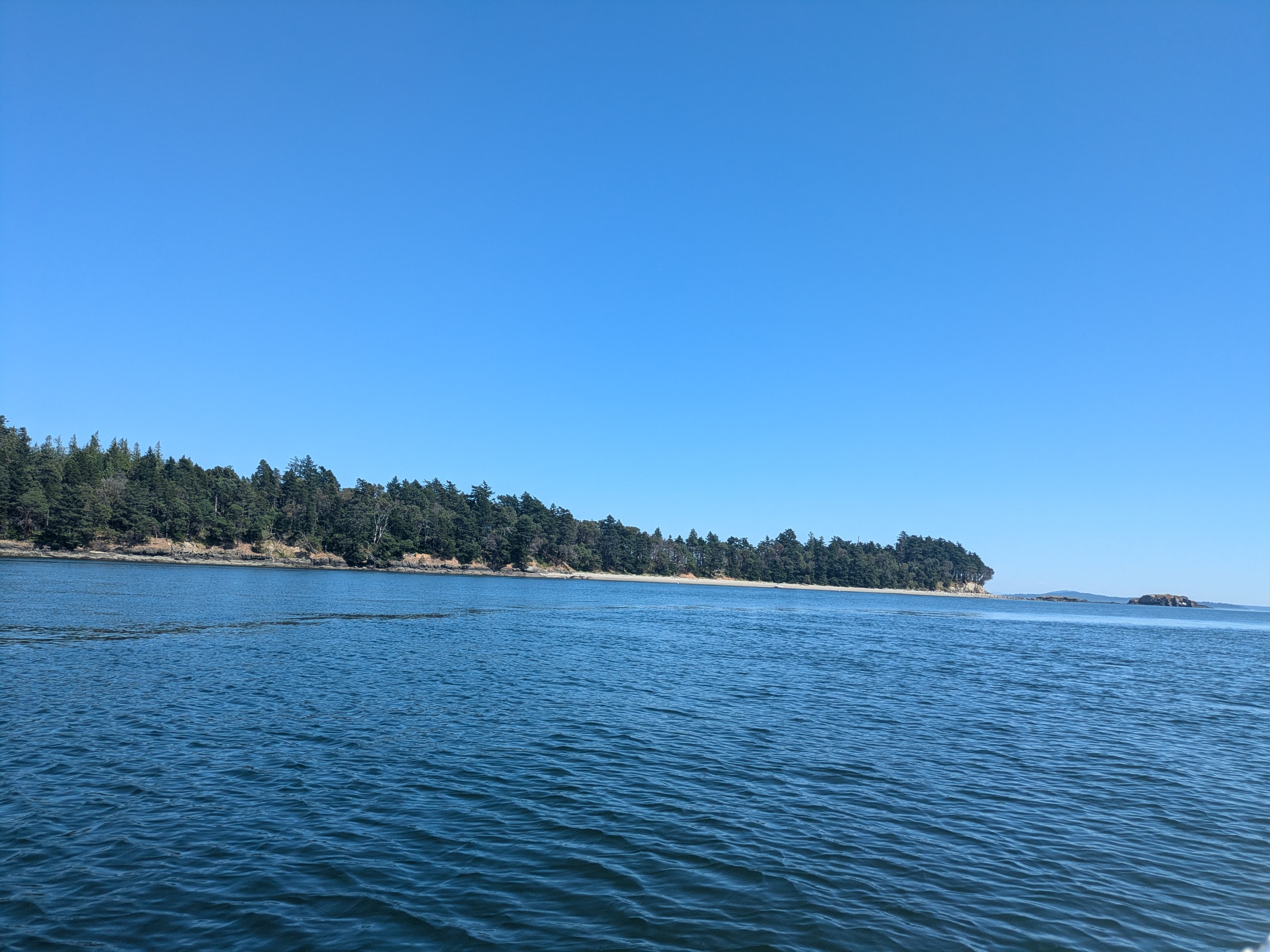
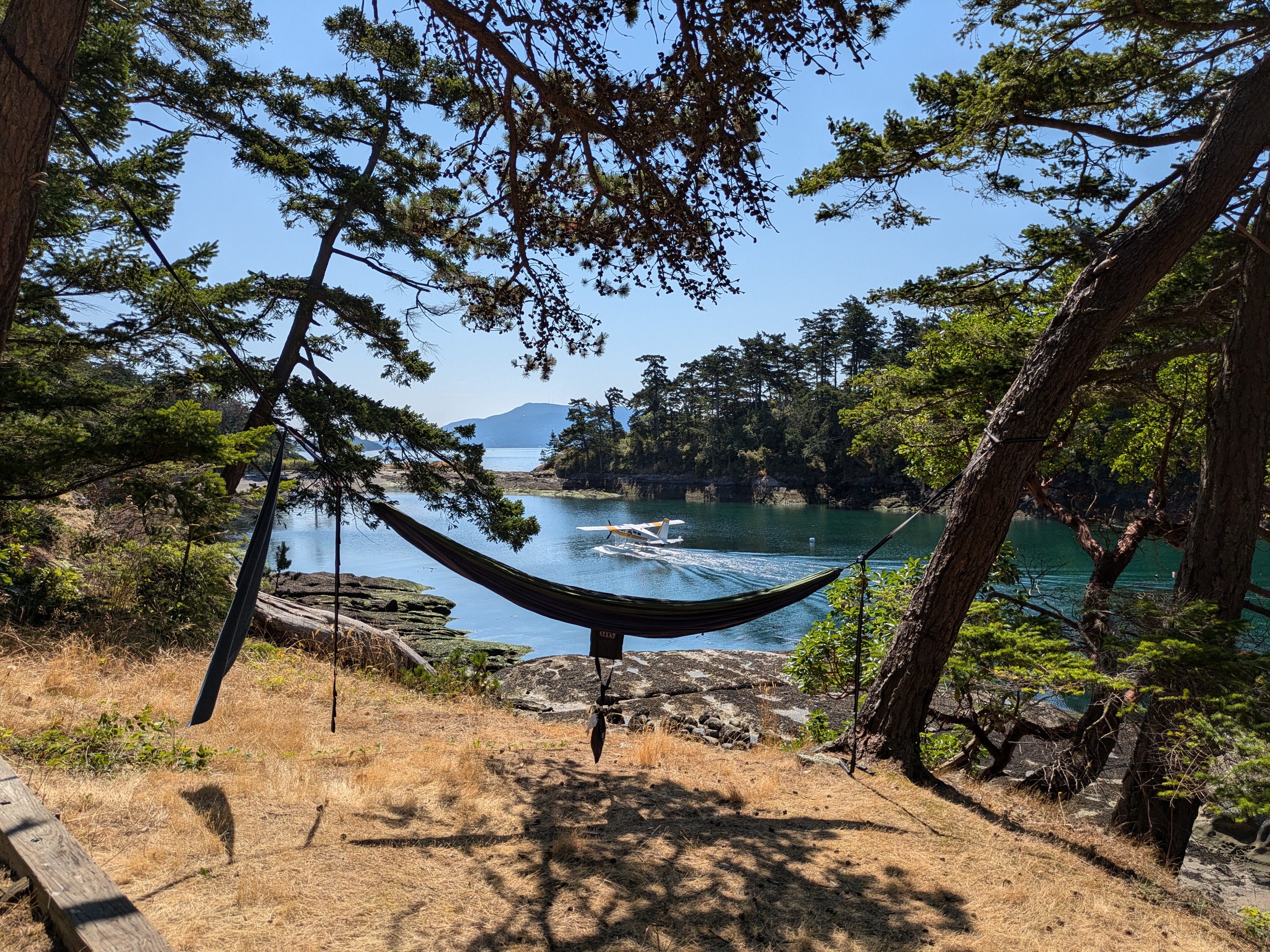
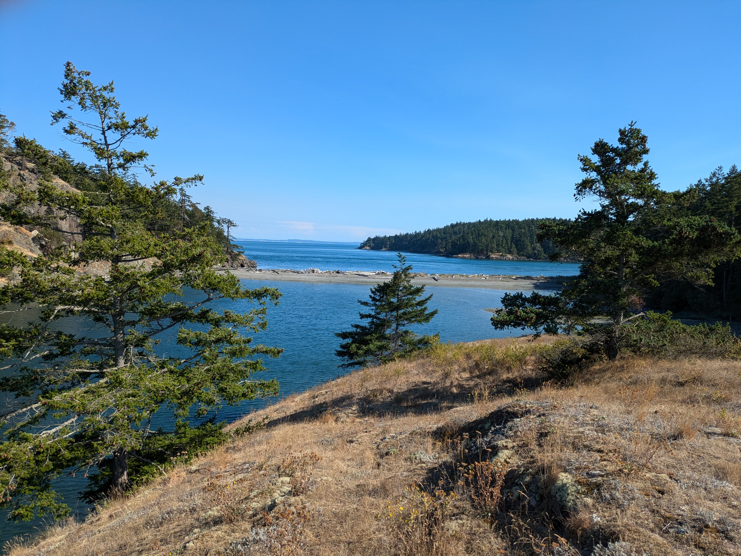
Orcas Island
- Access: Ferry service, land and sea planes, county dock, private marinas.
- Date Accessed: 7/4/25
- Size: 36700 Acres
- Population: 6000
- Ownership: Mixed
- Development: Significant.
- Notes: Eastsound has a non-human animal mayor.
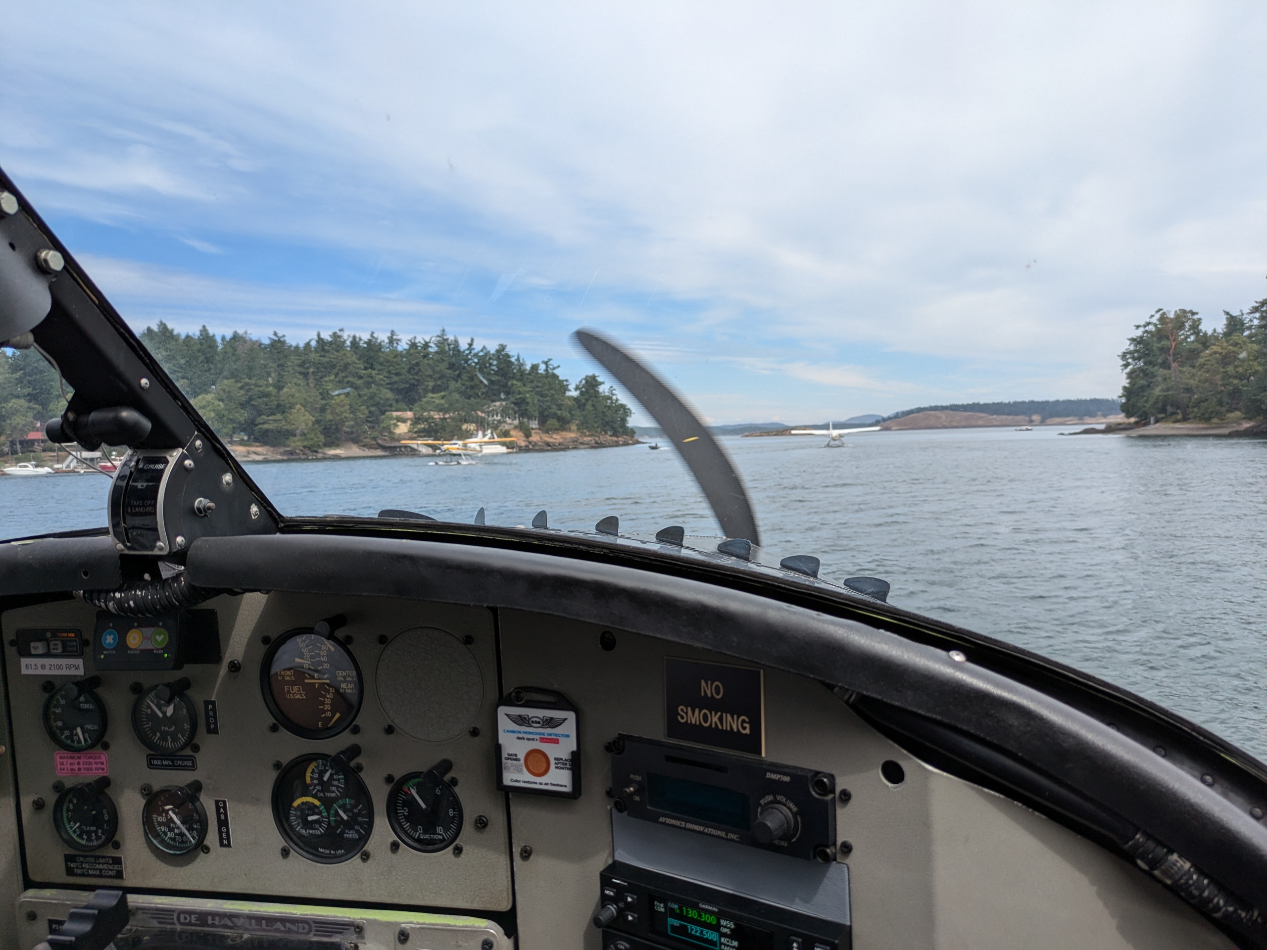
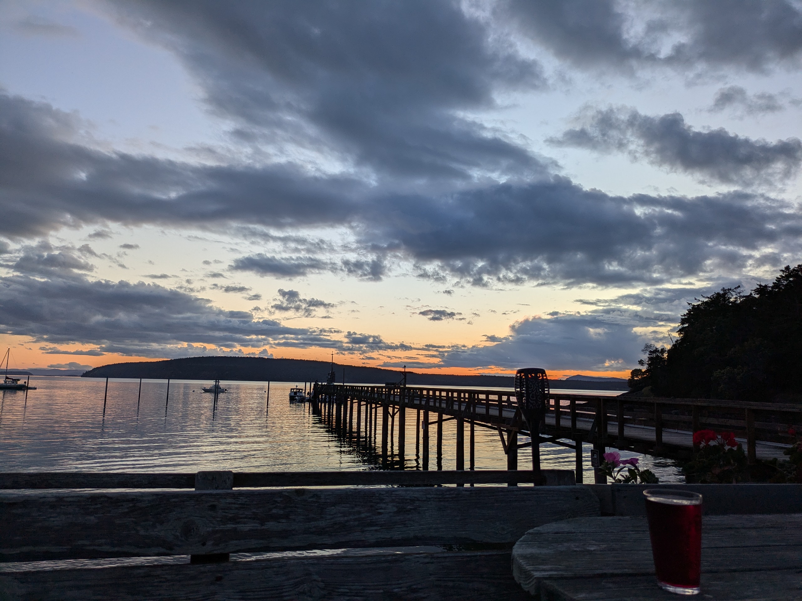
I was based out of Orcas for the month of July and am generally biased toward it. It has a good mix of amenities in Eastsound and seclusion further from town. My boat was based out of Rosario Harbor which, along with Westsound Marina and Deer Harbor Marina, are destinations for Kenmore airline. Kenmore also flies from Boeing field to the Eastsound Airport which is walking distance from town. For that reason, Orcas is a popular destination for pilots.
The ferry drops off at the southwest of this horseshoe shaped island making it necessary for tourists to drive a car on the ferry or to pay for a taxi. It is also possible to bike on the ferry with the route from the ferry into east sound being generally safe with moderate slopes. Despite its obvious popularity, I recommend against biking from Eastsound to anywhere on the Southeast of the island. The road has no shoulder and has significant grades with blind curves navigated by drunk vacationers and locals.
Westbeach Resort at Sunset
Rosario Harbor from a Kenmore Air Flight
Seaplane at Rosario Harbor
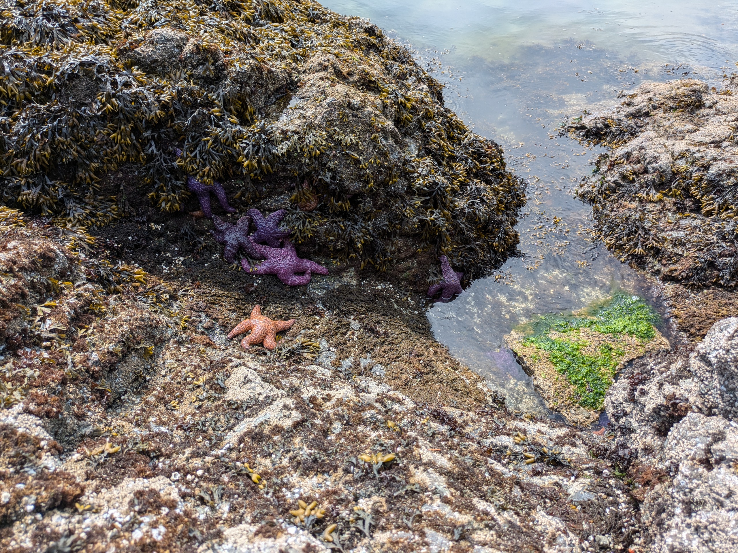
Sea Stars at Obstruction State Park
Lopez Island
- Access: Ferry service, sea planes, county dock, private marinas.
- Date Accessed: 7/4/25
- Size: 19600 acres
- Population: 3156
- Ownership: Mixed
- Development: More rural than Orcas but Lopez village has several restaurants.
Island Marine Center Dock
Fisherman Bay Spit Preserve
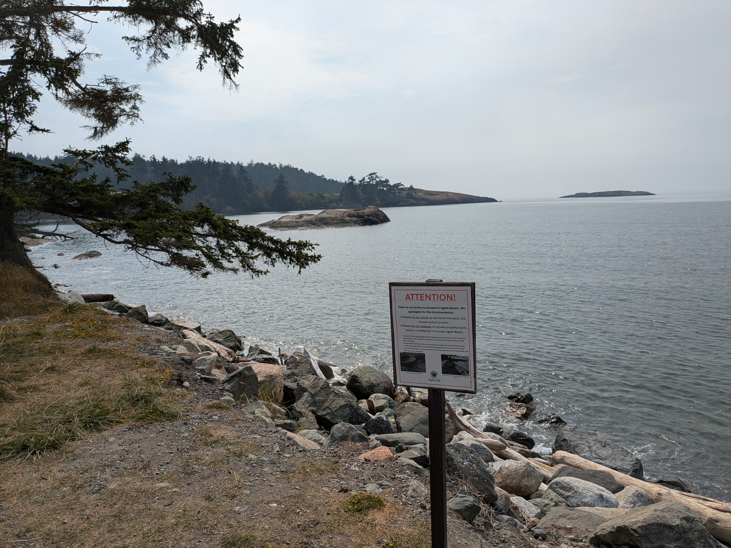
Agate Beach County Park
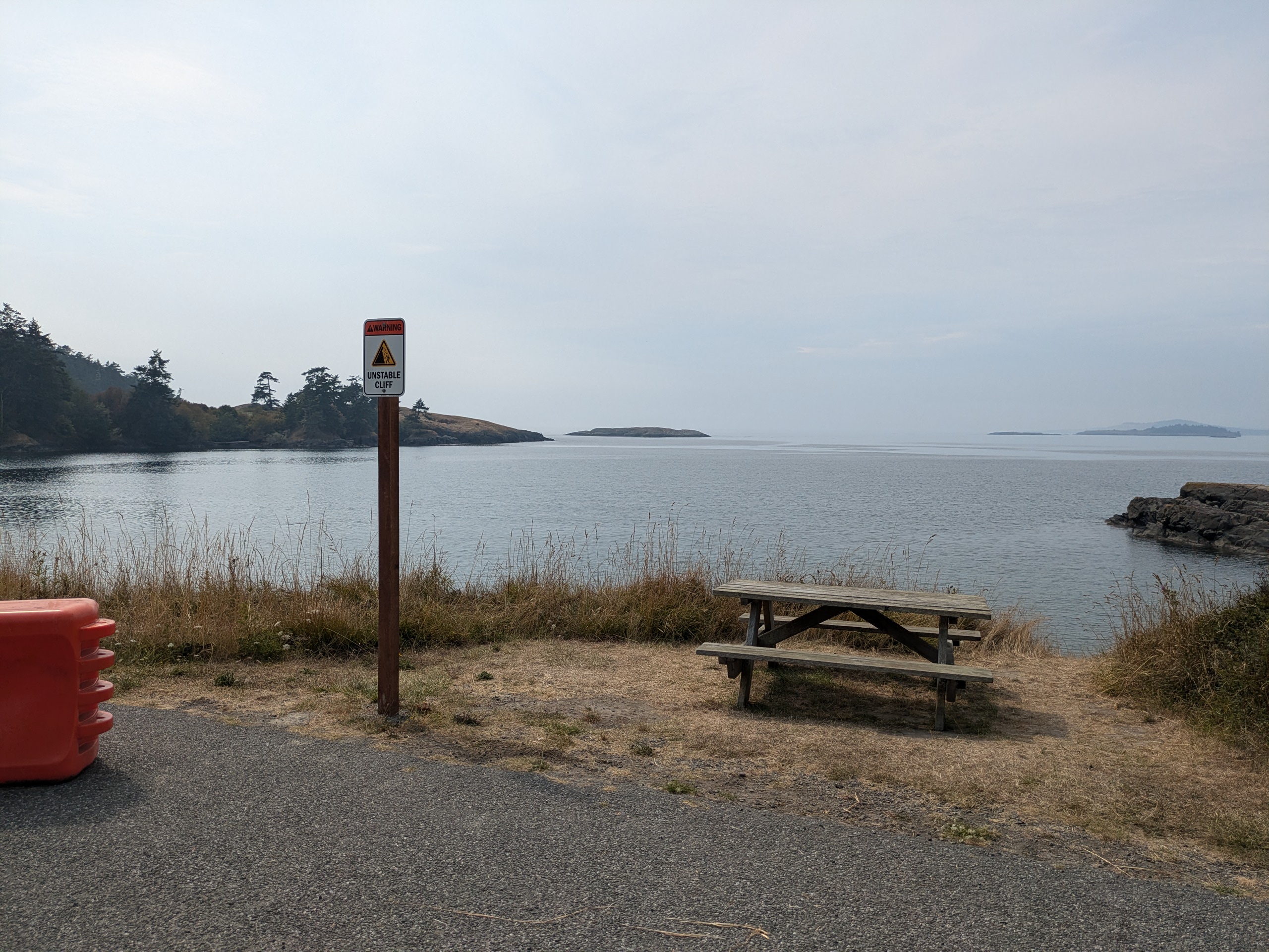
Agate Beach County Park
Lopez is a flatter, more pastoral, and less populous version of Orcas. The locals wave to all drivers which gets a bit tiring after passing ferry traffic. Lopez Village is a decent distance from the ferry terminal, but it is easy to bike around the island. I primarily accessed Lopez by tying up at the Island Marine Center in Fishing Bay and walking into town.
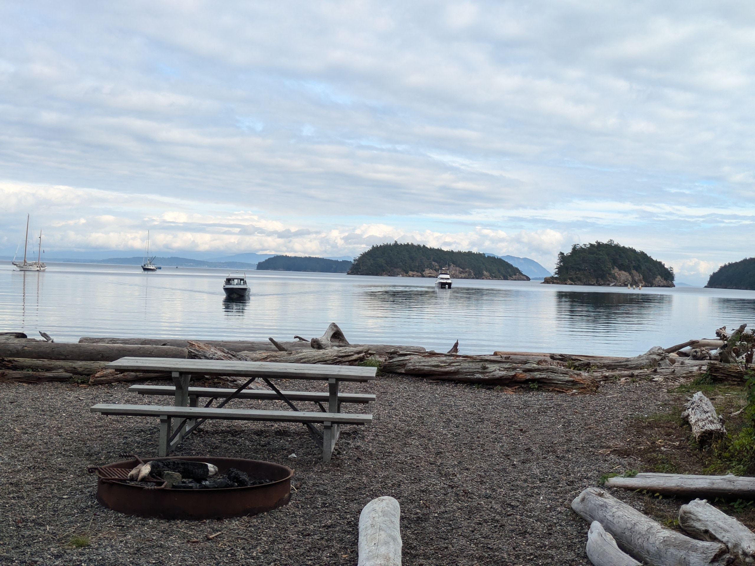
Shaw Island
- Access: Ferry service, private marina.
- Date Accessed: 7/3/25
- Size: 4940 acres
- Population: 135
- Ownership: Mixed
- Development: Residential, general store & bar at ferry terminal.
- Notes: Many more people stop at the Shaw ferry terminal every year than actually step foot on the island.
Shaw Island General Store and Taproom
Shaw Island Ferry Terminal from General Store Dock
Shaw is a sleepy island which sees limited tourism. There is a dock next to the ferry terminal which can be used if you are shopping at the general store or drinking at the bar (Captain's Taproom). Blind bay is a popular destination for boaters, and it had good anchorage. Blind Island sits in blind bay and is visible from the Taproom.
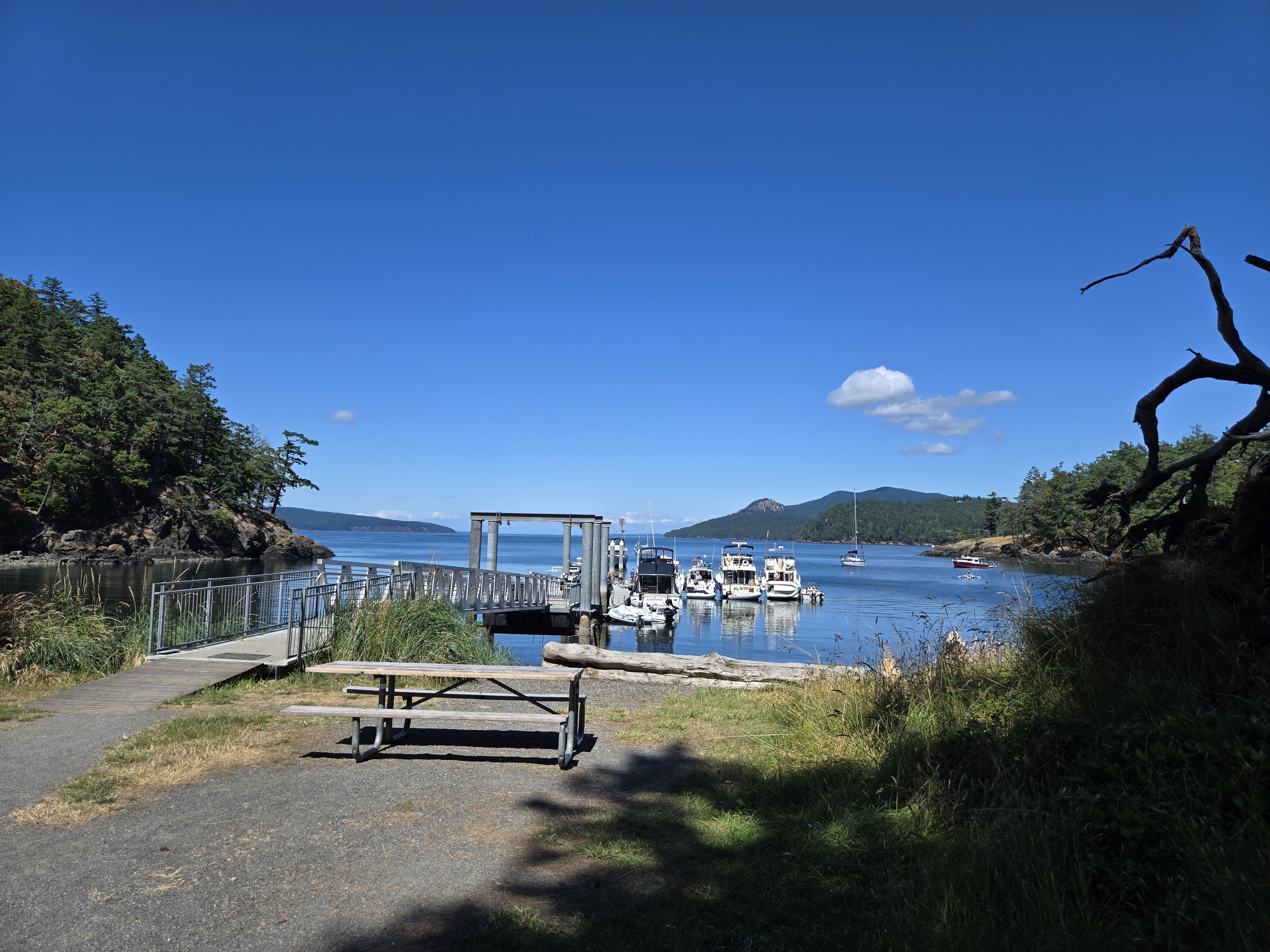
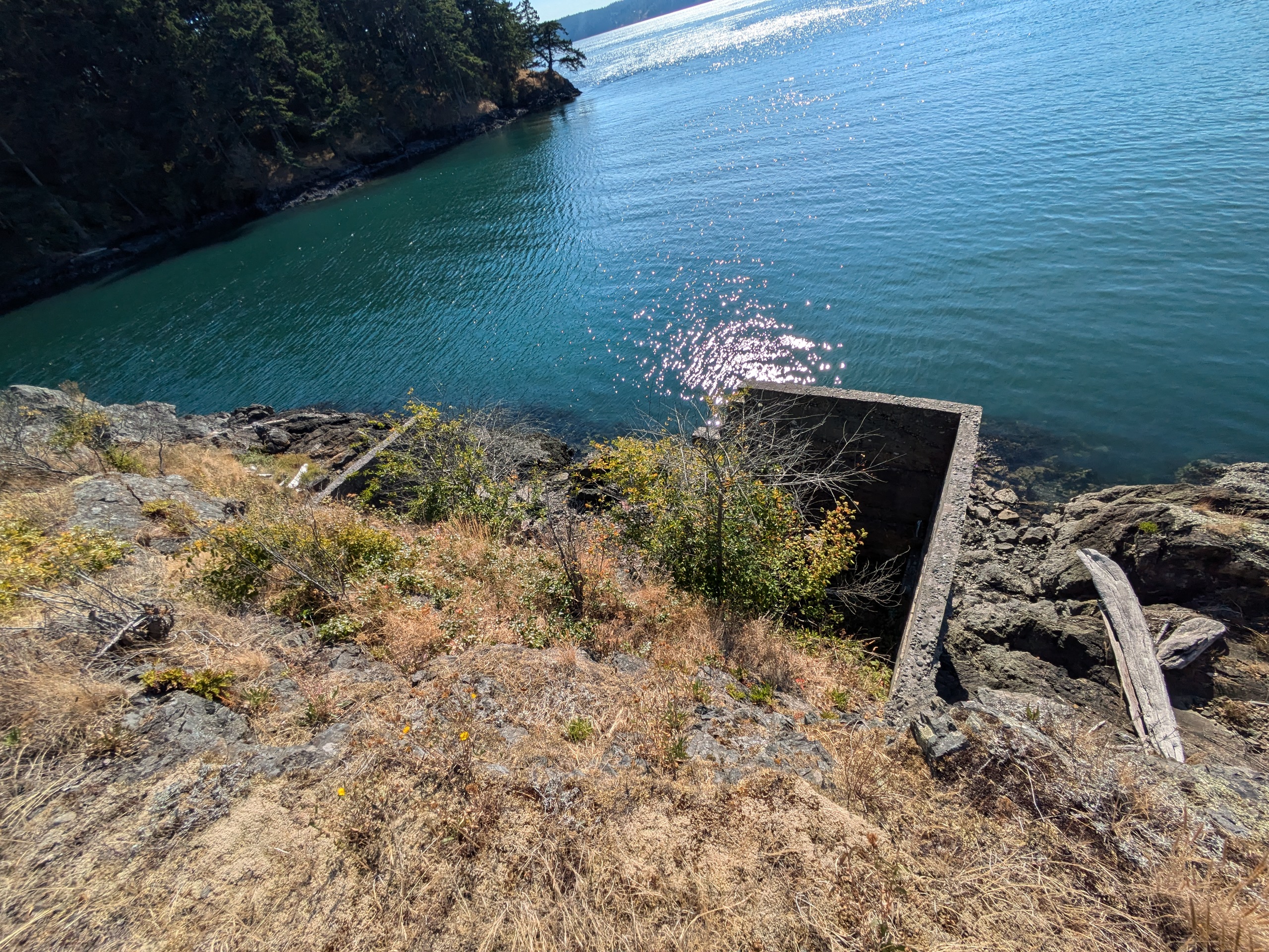
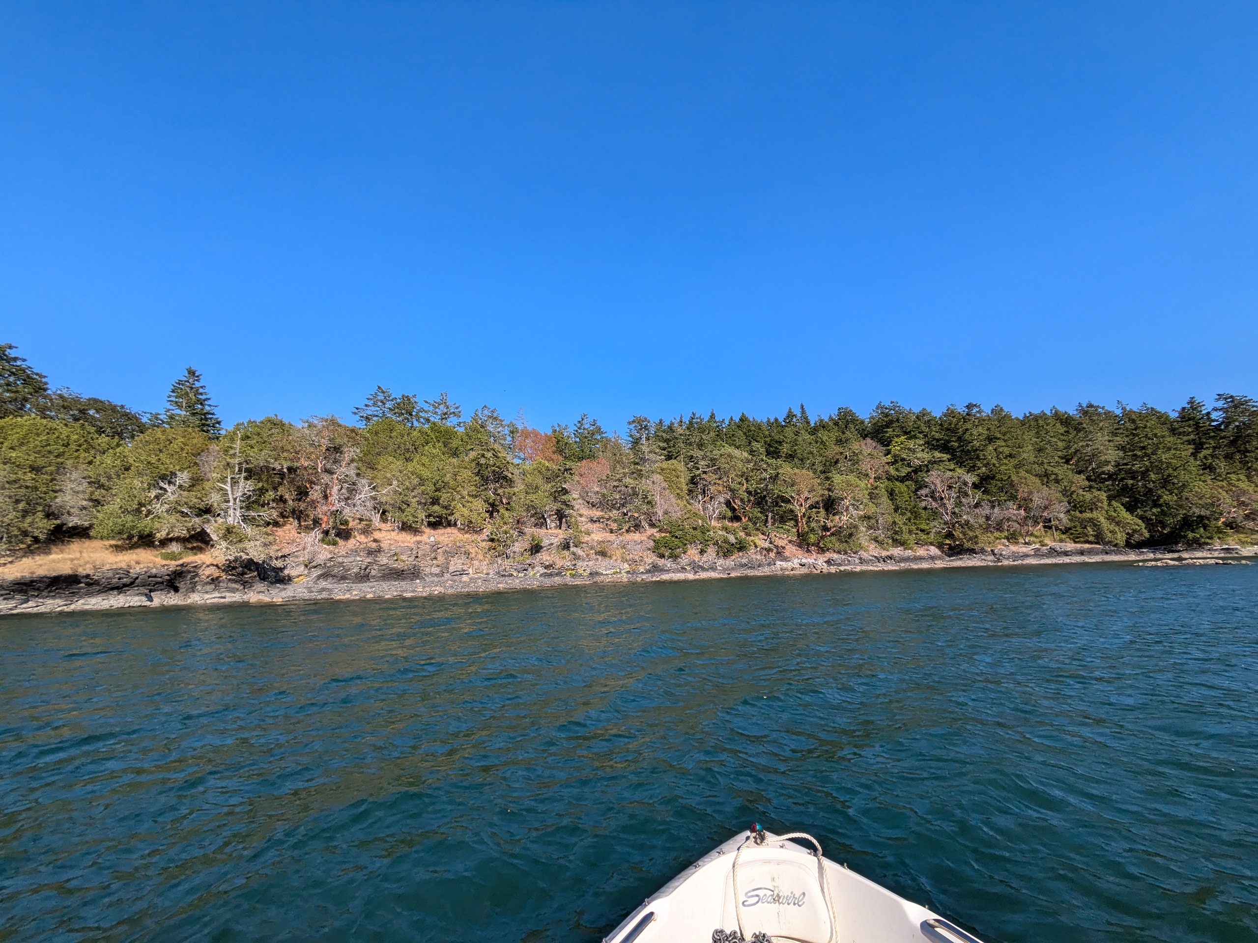
Decatur Island
- Access: County boat ramp, Kimball Preserve beach.
- Date Accessed: 7/28/25
- Size: 2370 acres
- Population: 71
- Ownership: Mixed
- Development: Primarially residential
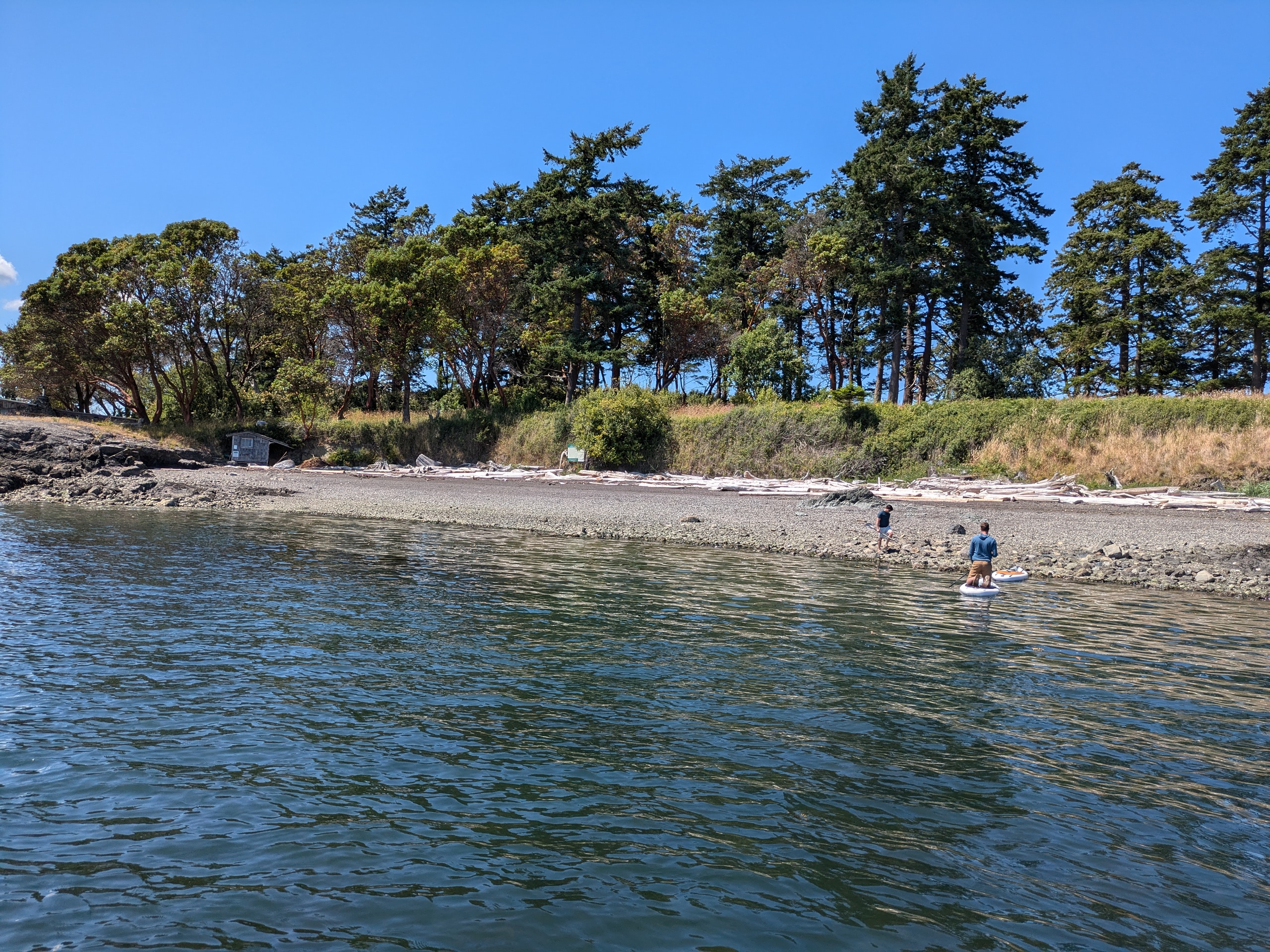
Kimball Preserve South Beach (Reeds Bay Island in Background)
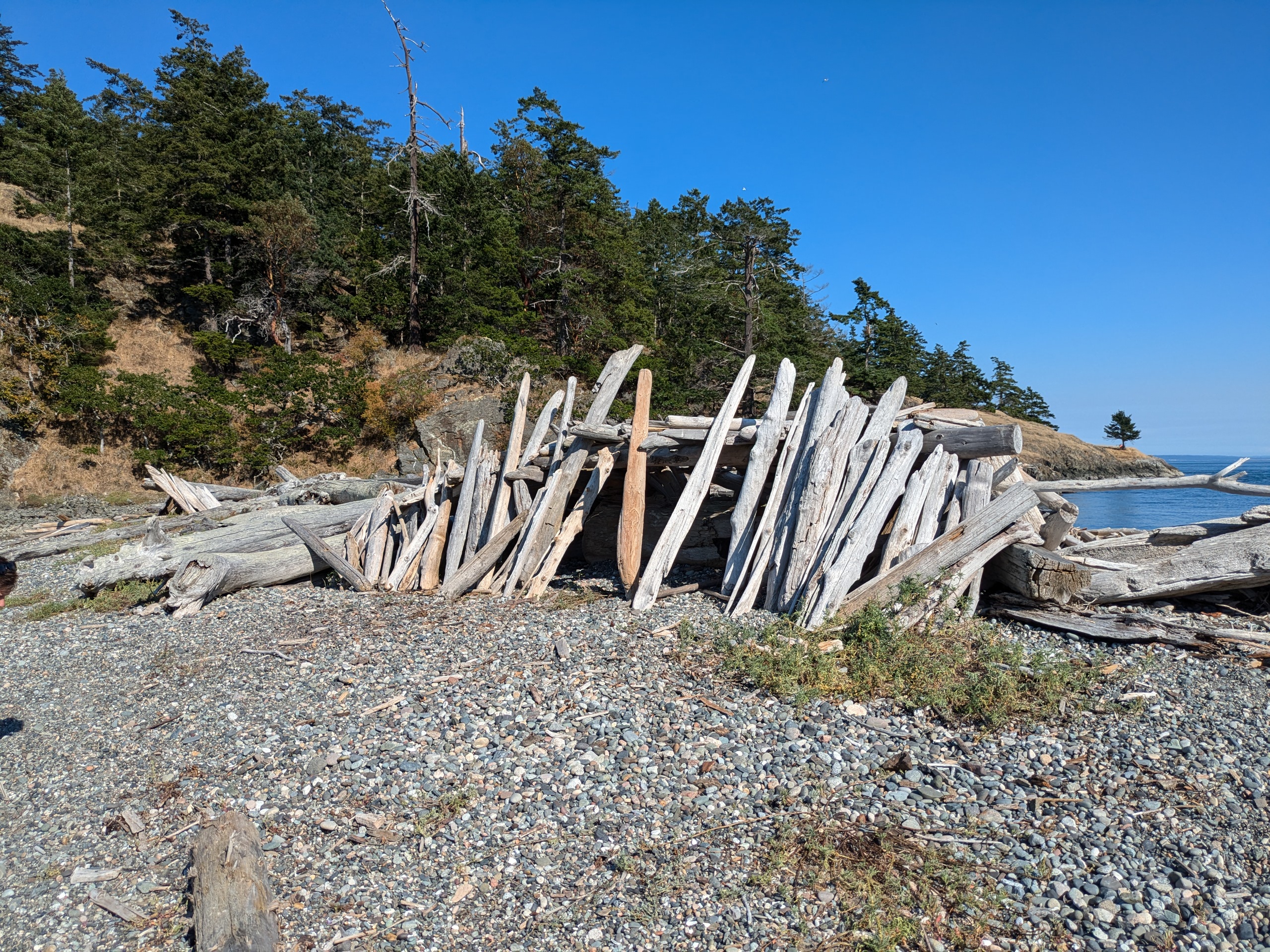
Driftwood Shelter
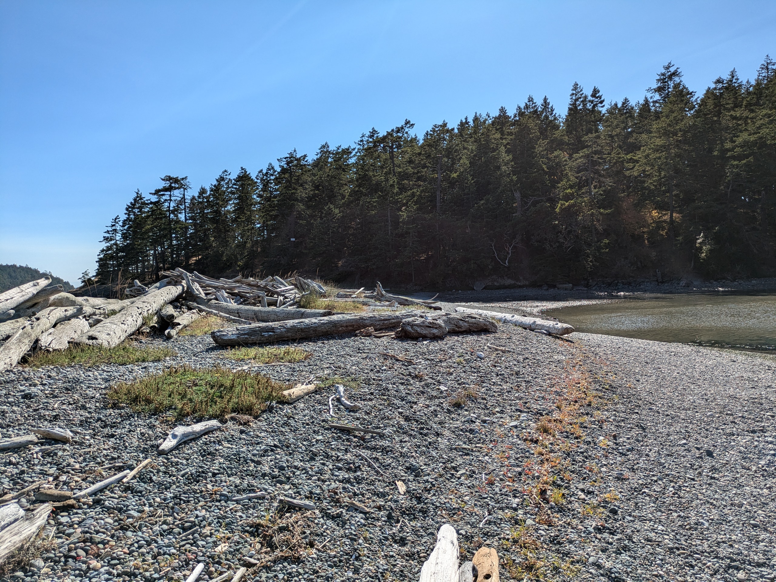
Kimball Preserve Beach
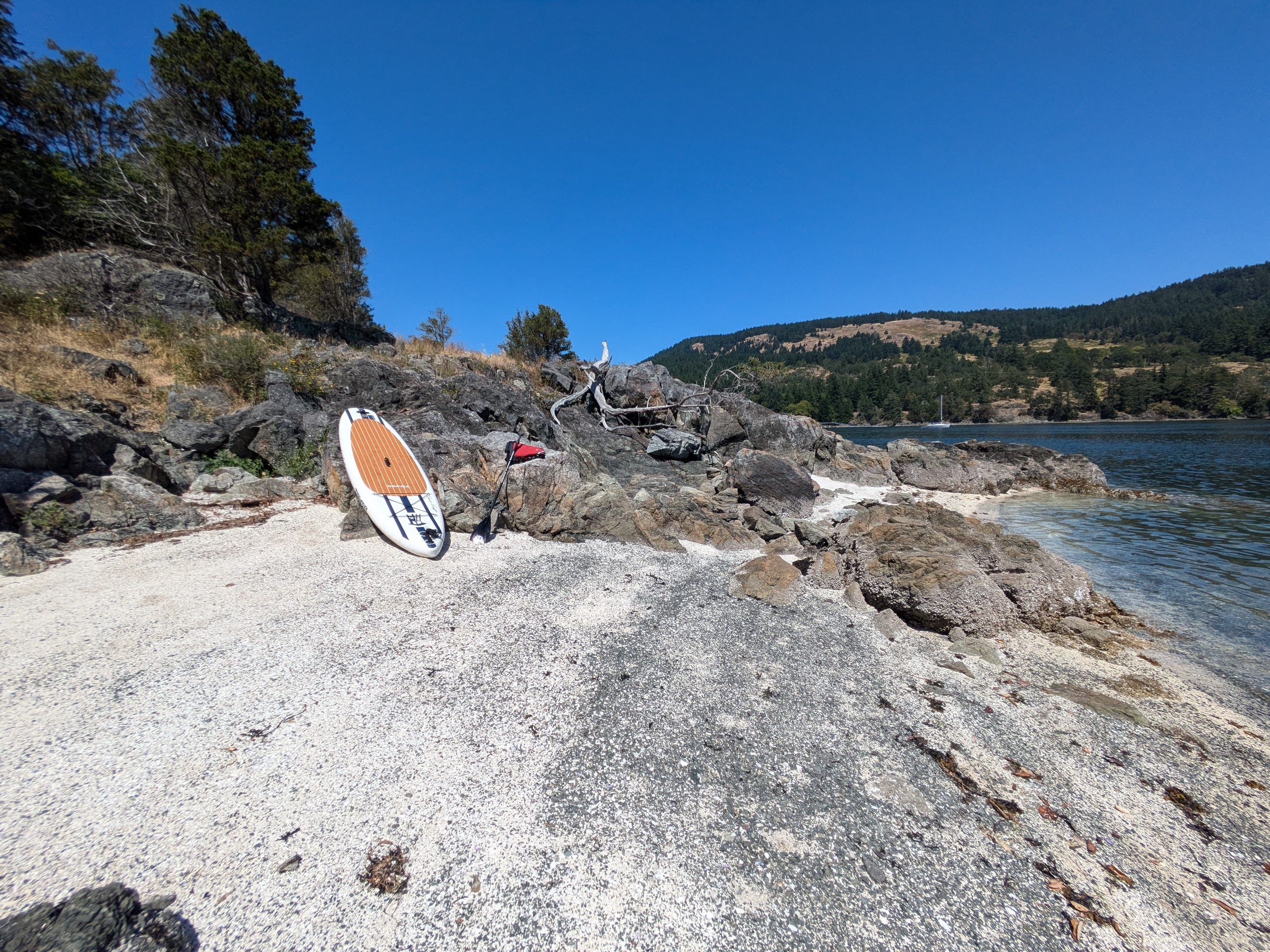
Boat Nosed Into South Beach at Kimball Preserve
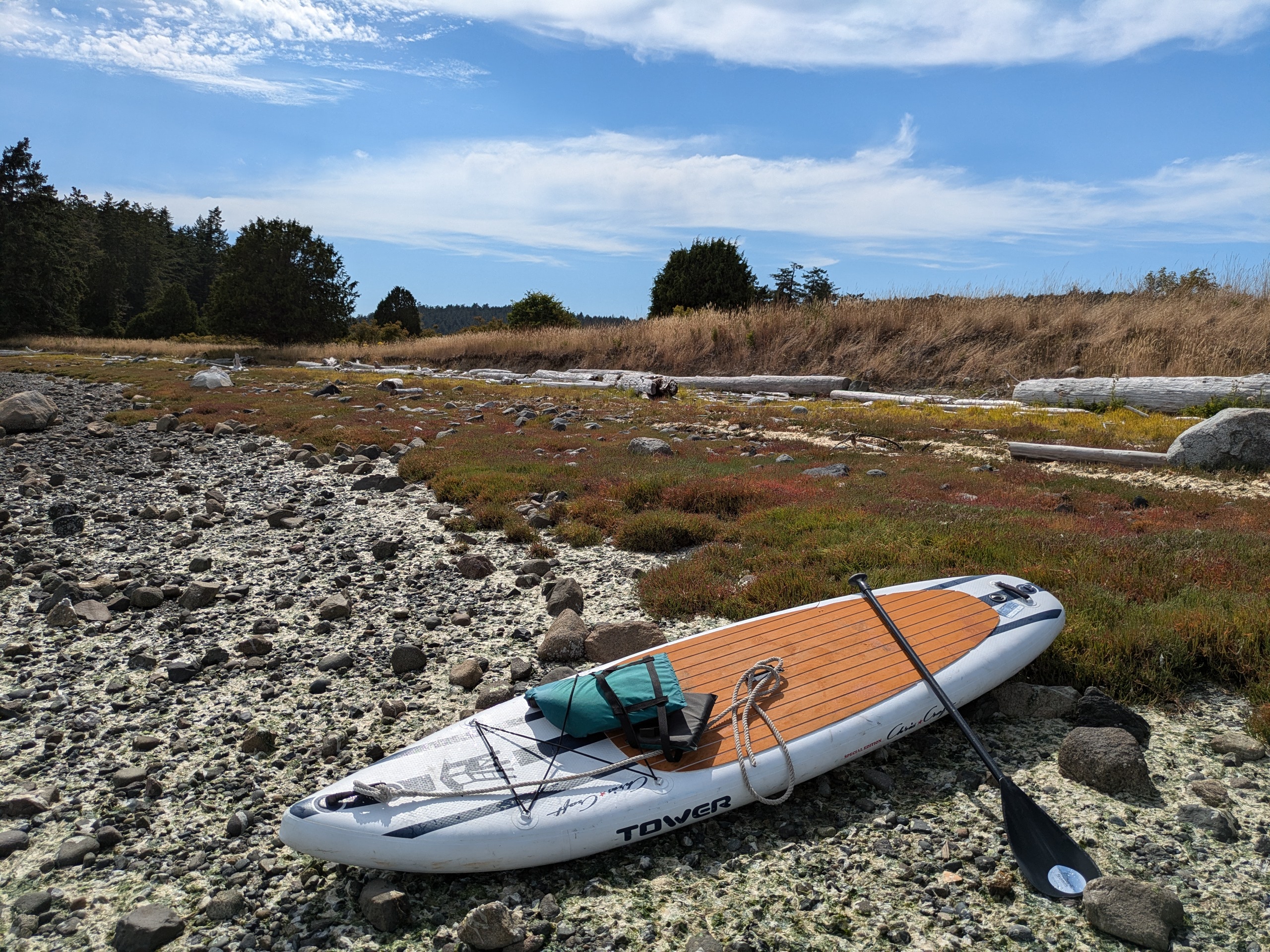
I nosed by boat into the rocky beach at Kimball Preserve (owned by the San Juan Preservation Trust) and walked across the spit with my paddleboard to access Reads Bay Island. The beach is wide, and there was a family swimming. I know very little about Decatur — it does not seem to have any stores or bars.
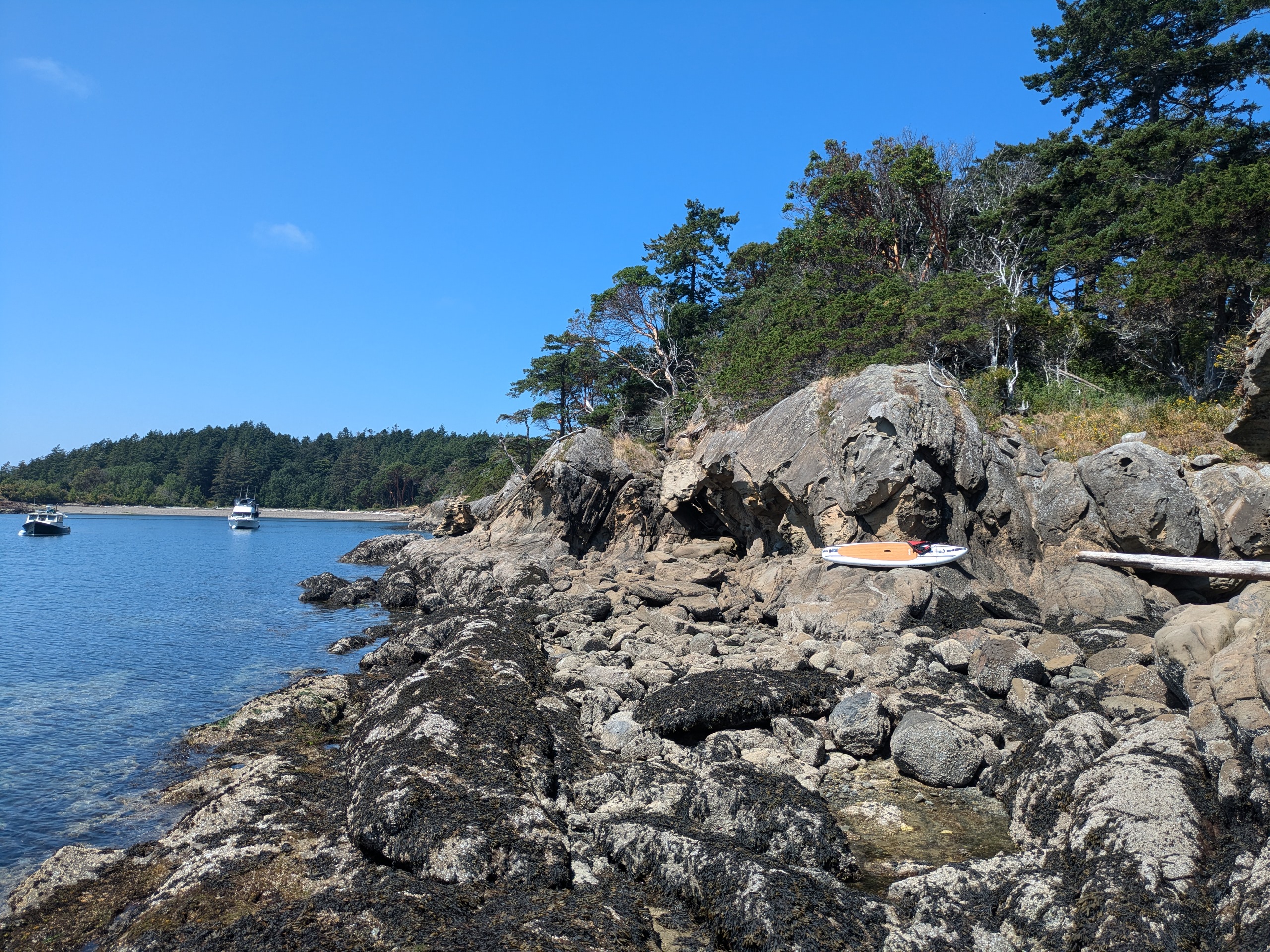
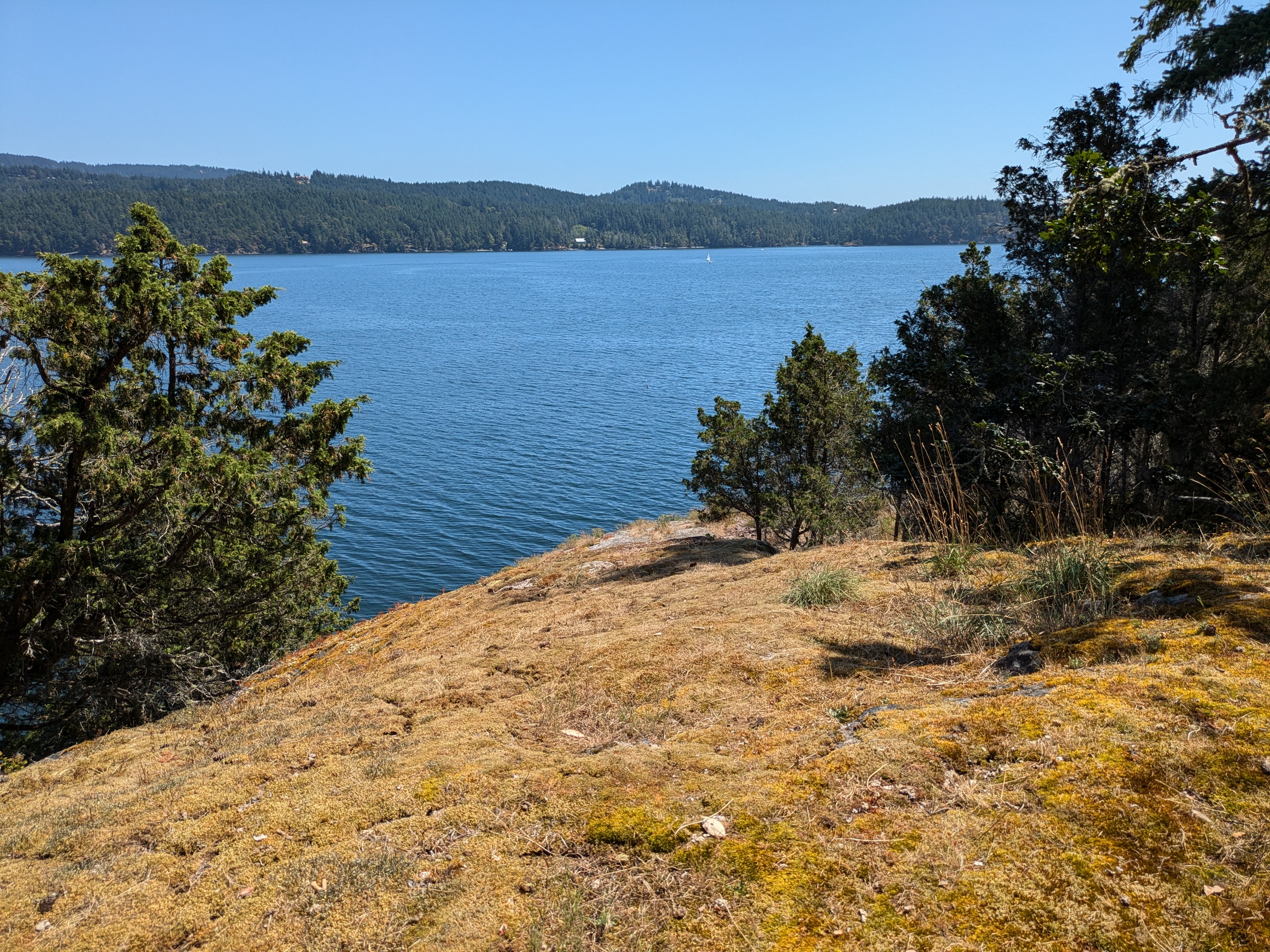
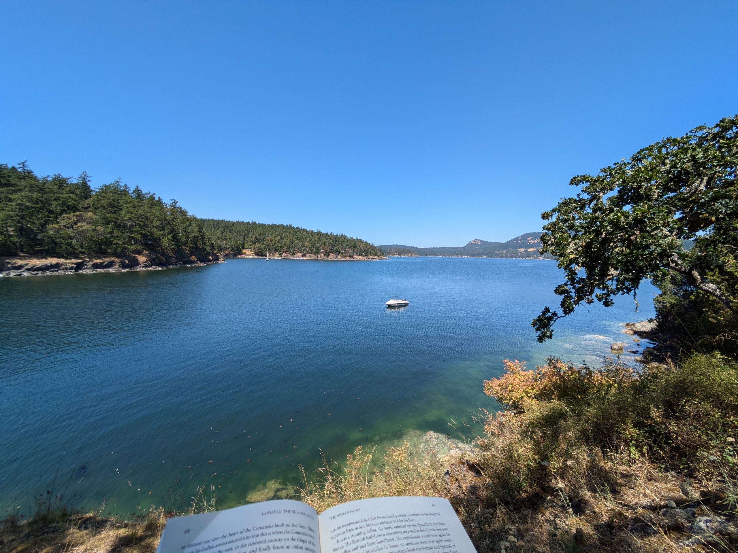
Waldron Island
- Access: County dock, Cowlitz Bay Preserve beach.
- Date Accessed: 7/22/25
- Size: 2900 acres
- Population: 100
- Ownership: Mixed
- Development: Farms, timber processing, and homes
- Notes: A piece titled Private Lives by the LA Times best explains this island.
Waldron Island - Point Disney
Cowlitz Bay Preserve Trail
Cowlitz Bay Preserve Trail
Cowlitz Bay Preserve Beach
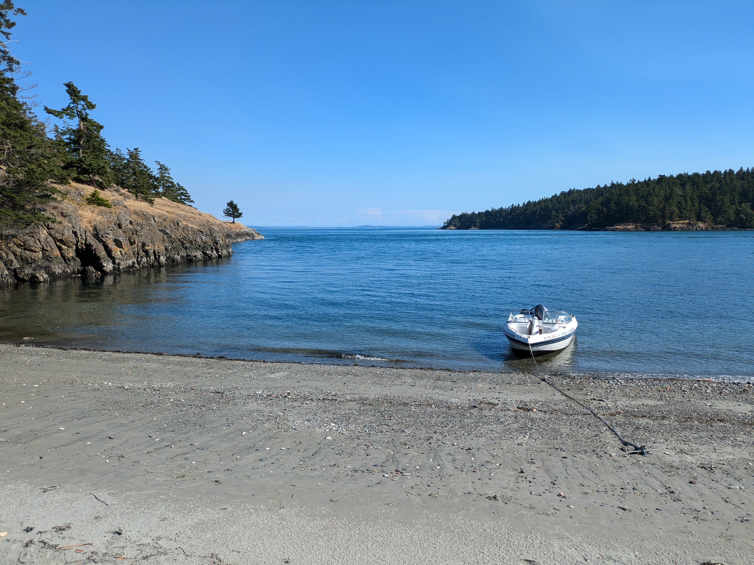
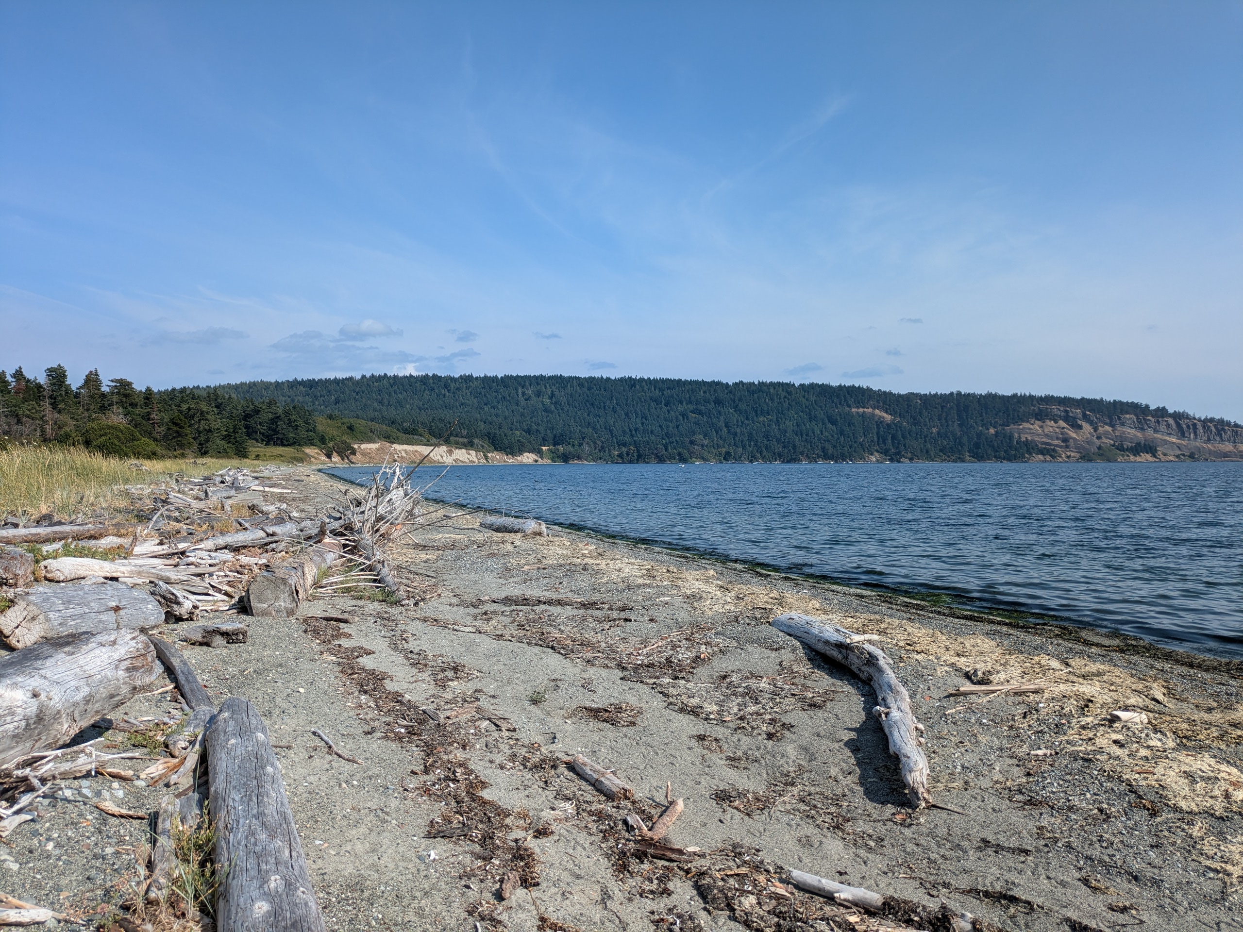
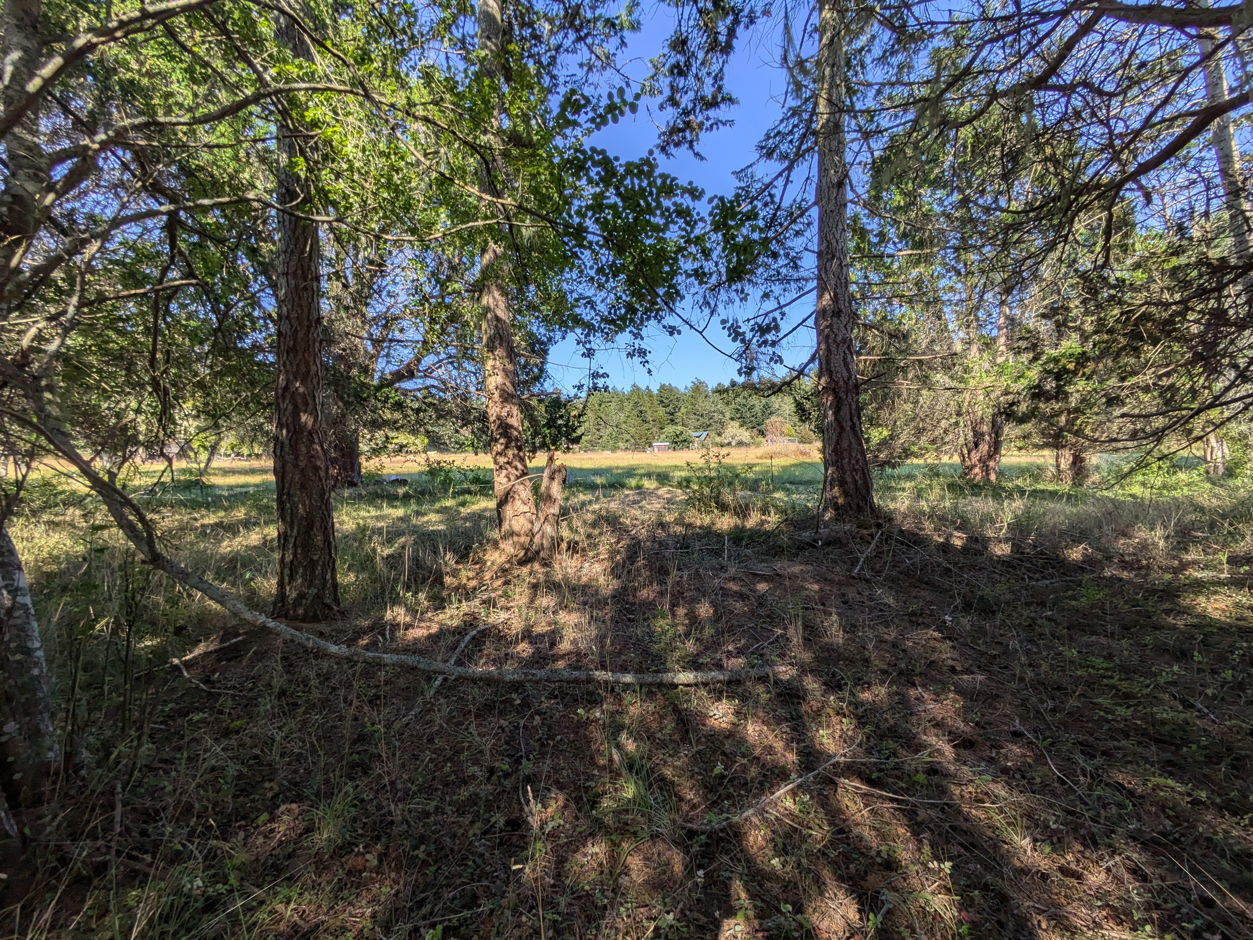
There is no power on Waldron and the residents do not wish for the island to have power. I accessed the island by Cowlitz bay Preserve after anchoring rather than by the county dock because it is said that the waldronites will untie the dock lines of the boats of outsiders.
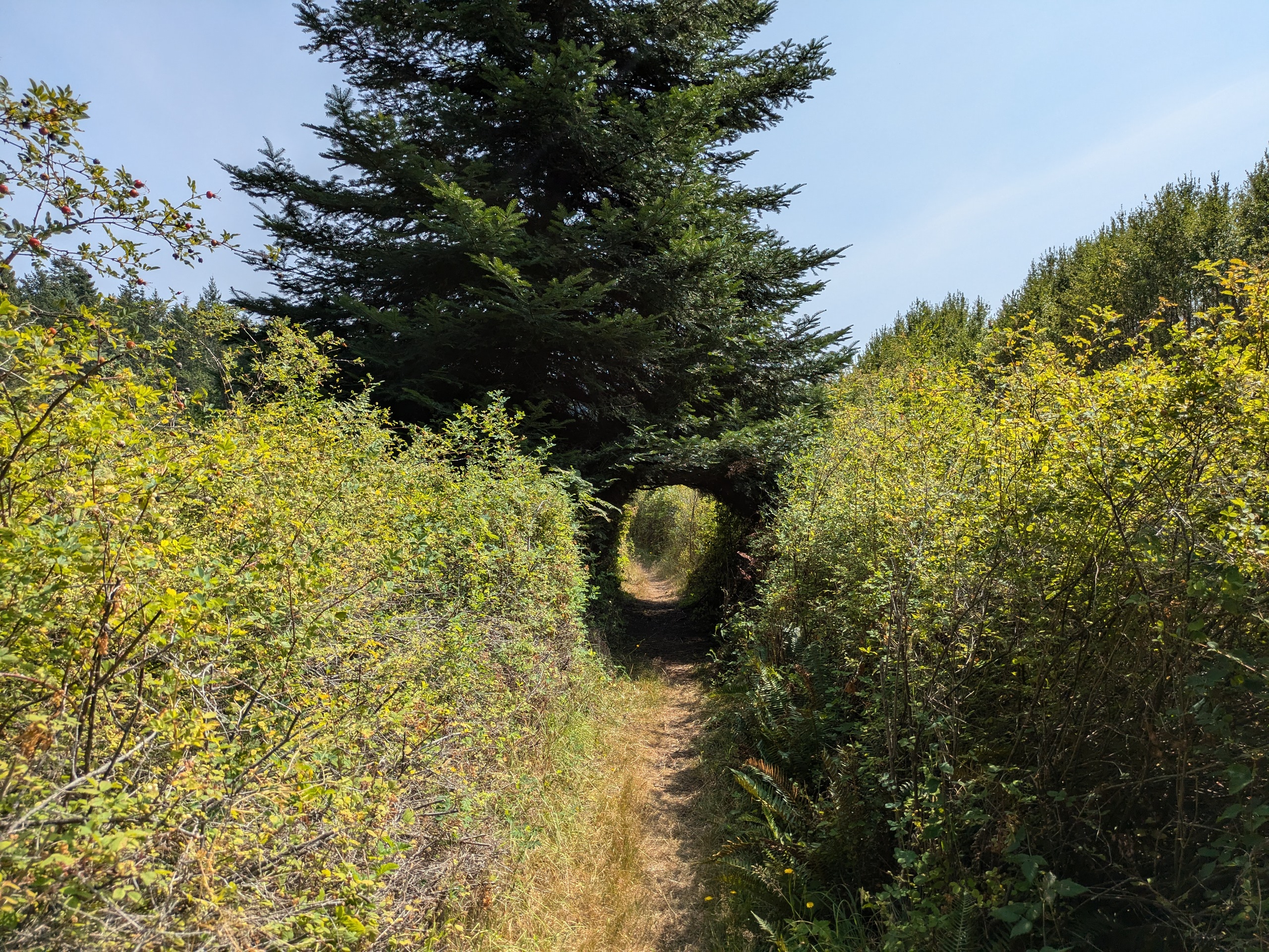
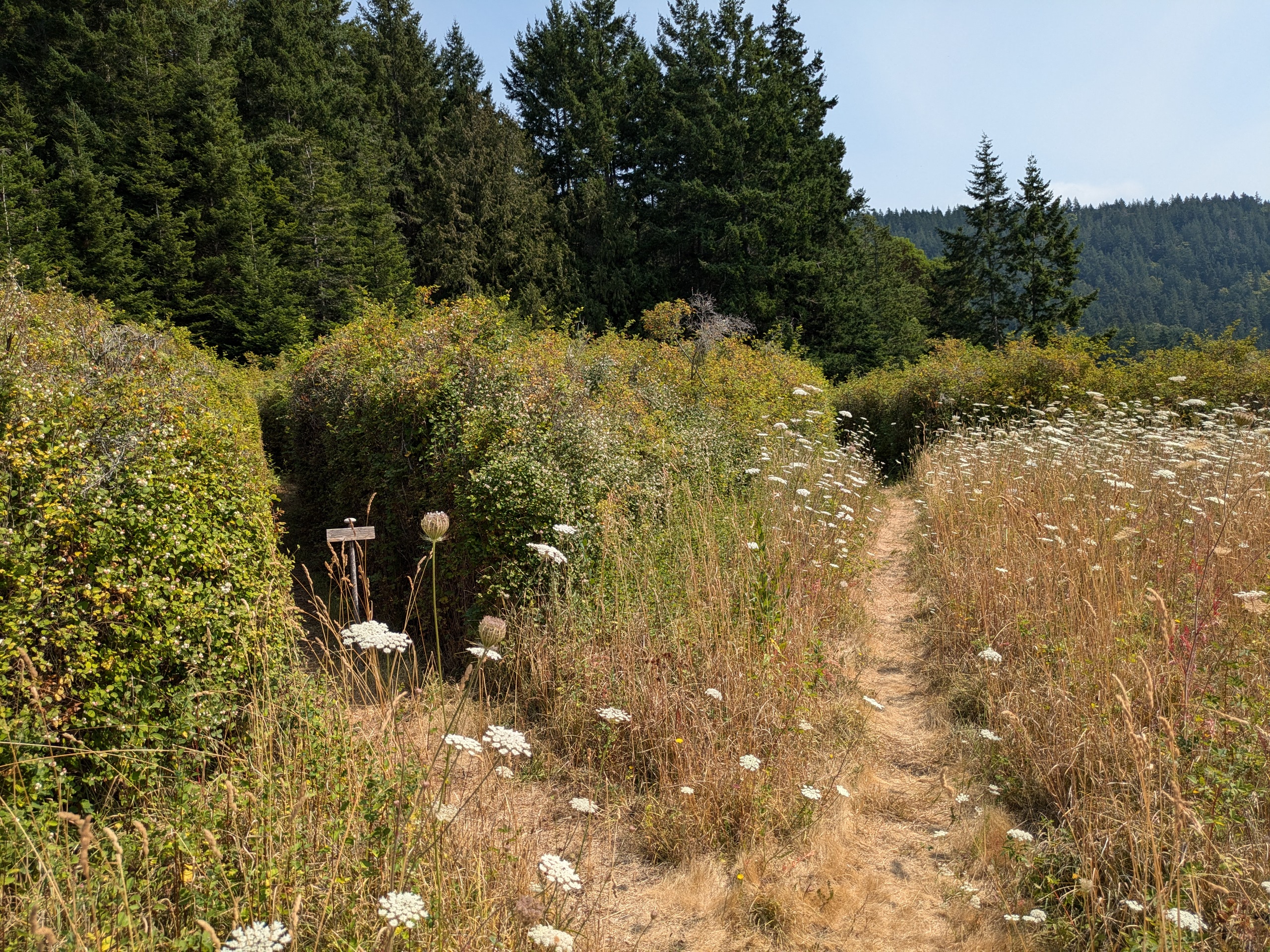
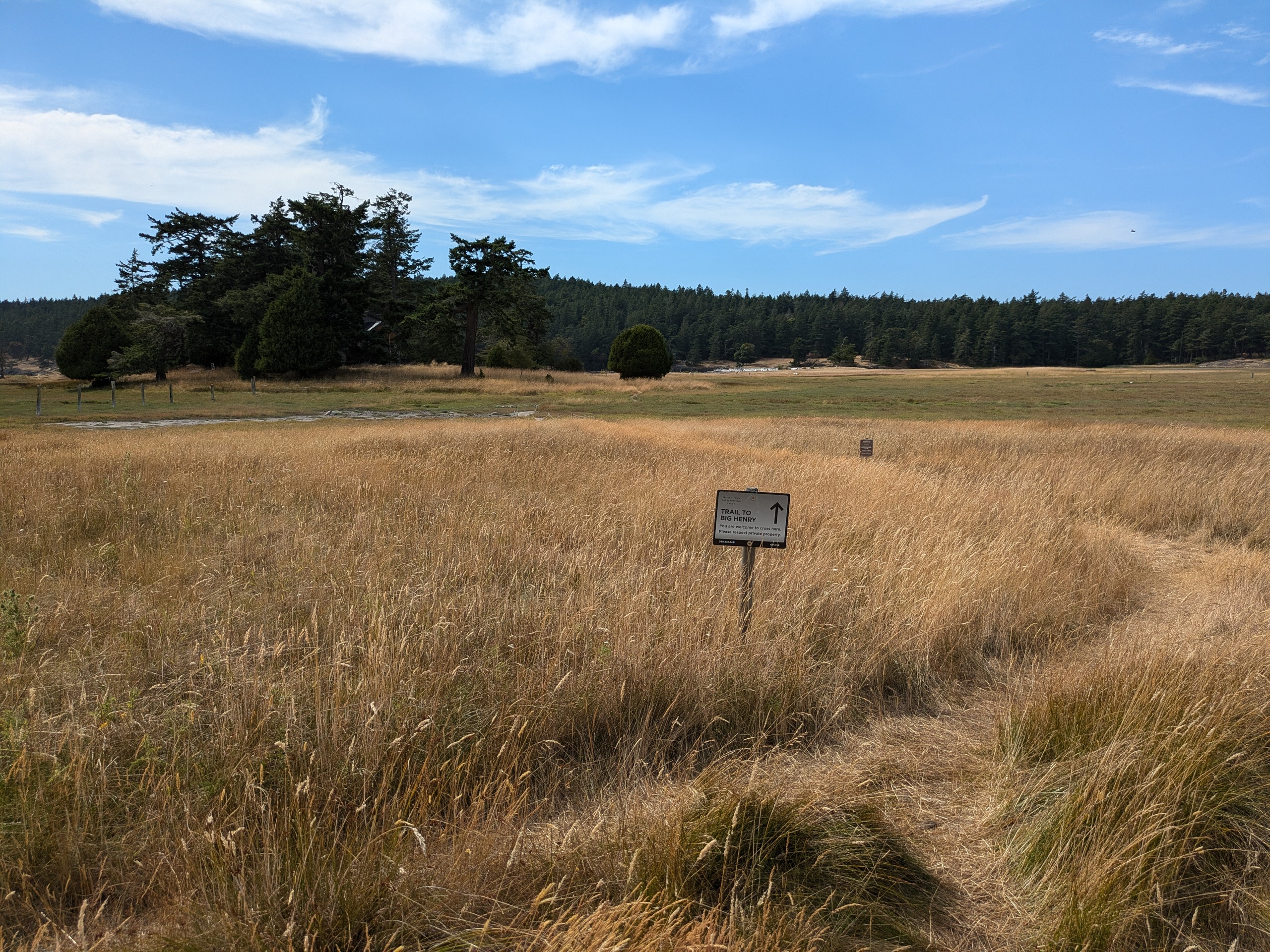
Cowlitz Bay Preserve has an impressive variety of microbiomes in a small area. You land on a rocky beach and walk along a trail with 8 foot high brambles on both sides before emerging at a grassy field overlooking a pond completely covered in lilly pads. As you continue further, you enter a dark pine forest with open ground. Elsewhere in the preserve, you are able to look out from the bluff back onto Cowlitz bay.
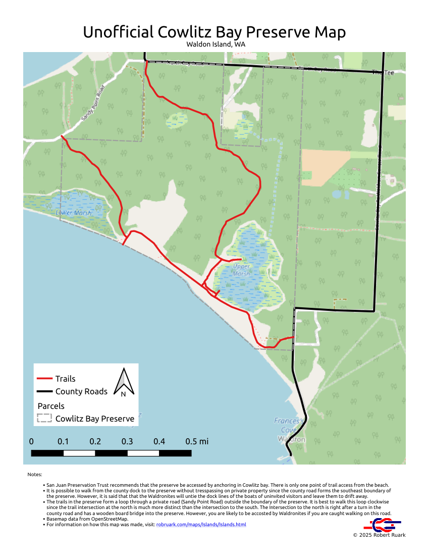
There was no map of the preserve showing trails, so I followed all of them to their end. The trail to the north eventually connects with a road which I followed trying to see if it connected back to the preserve. Since there are aparantly no "No Tresspassing" signs on Waldron, I couldn't tell what was a trail and what was a private driveway. Eventually a car came along, and a mother and son gave me a ride back to the trailhead. The car was electric which I suppose makes sense — there are no gas stations on Waldron, but you can charge an electric car off of a solar power system.
After following the trail back to where it initially split near the beach, I continued on the more southerly trail until it hit the same road: I had actually been picked up only a few dozen yards from where this trail hits the road.
I logged my location as I walked along these trails and used that data to make my own map of the preserve.
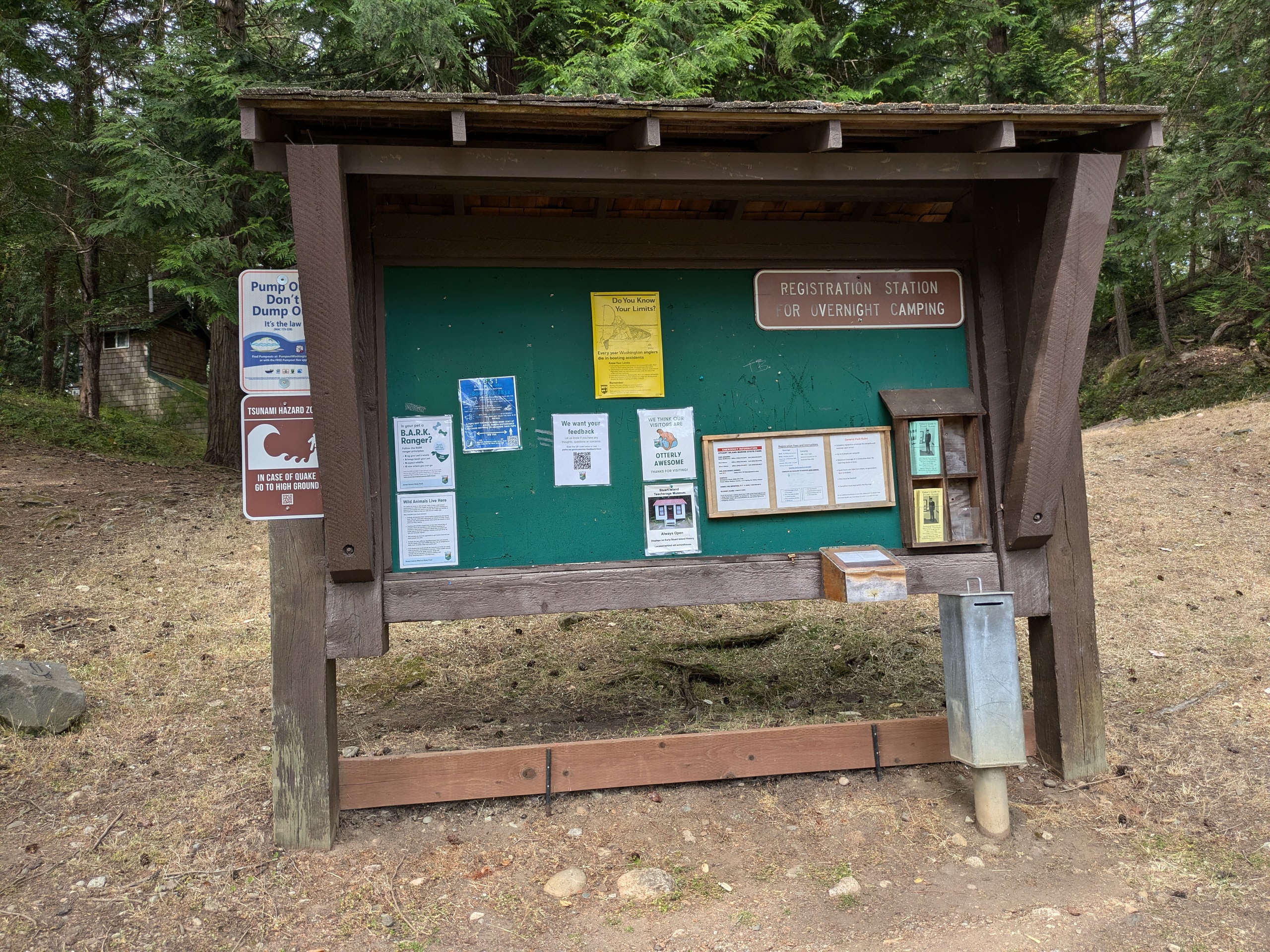
Stuart
- Access: County dock, State Park Dock
- Date Accessed: 8/3/25
- Size: 1870 acres
- Population: 20
- Ownership: Mixed
- Development: Some residential with a state park and US Coast Guard light house.
- Stuart Island State Park Map
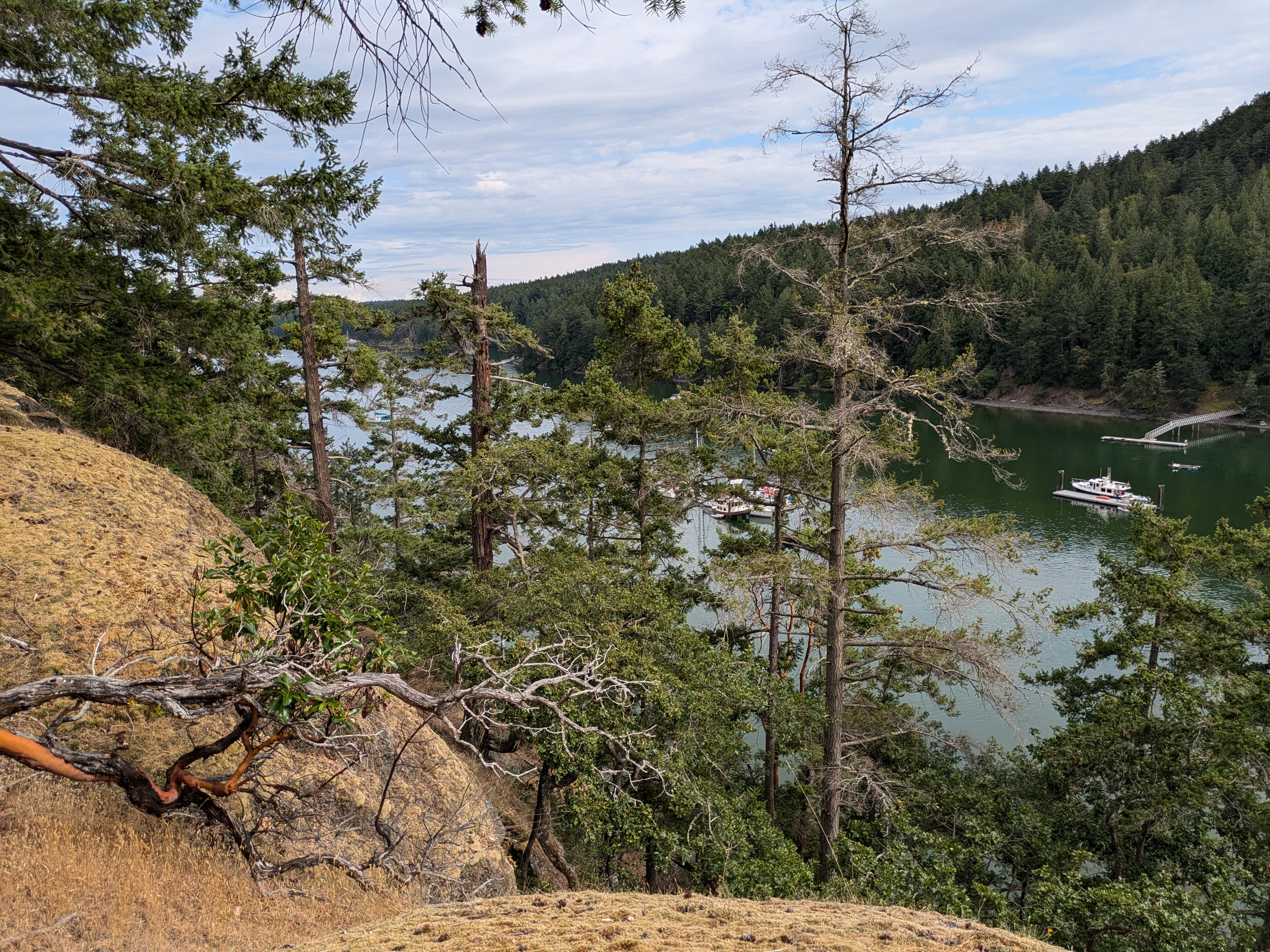
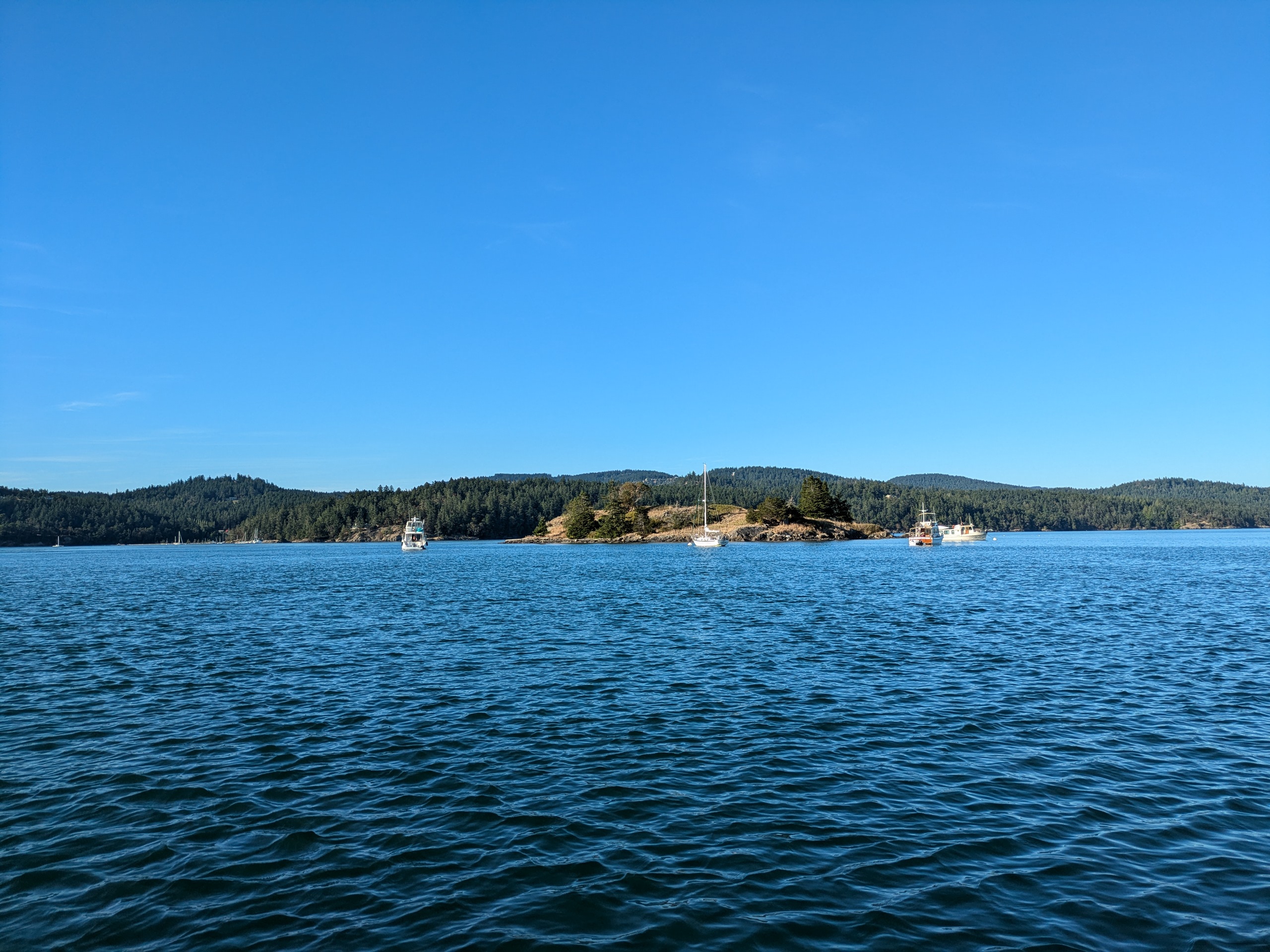
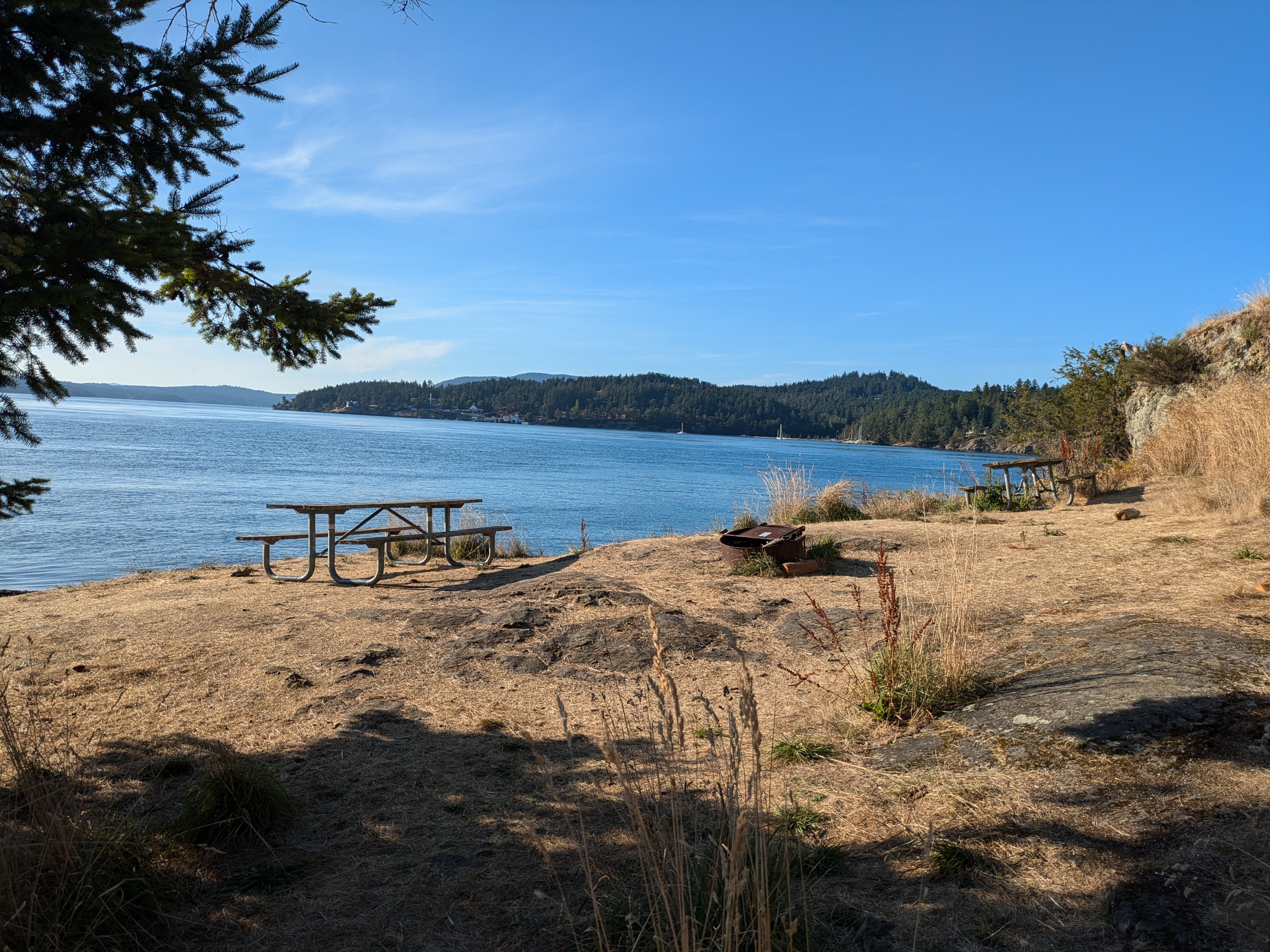
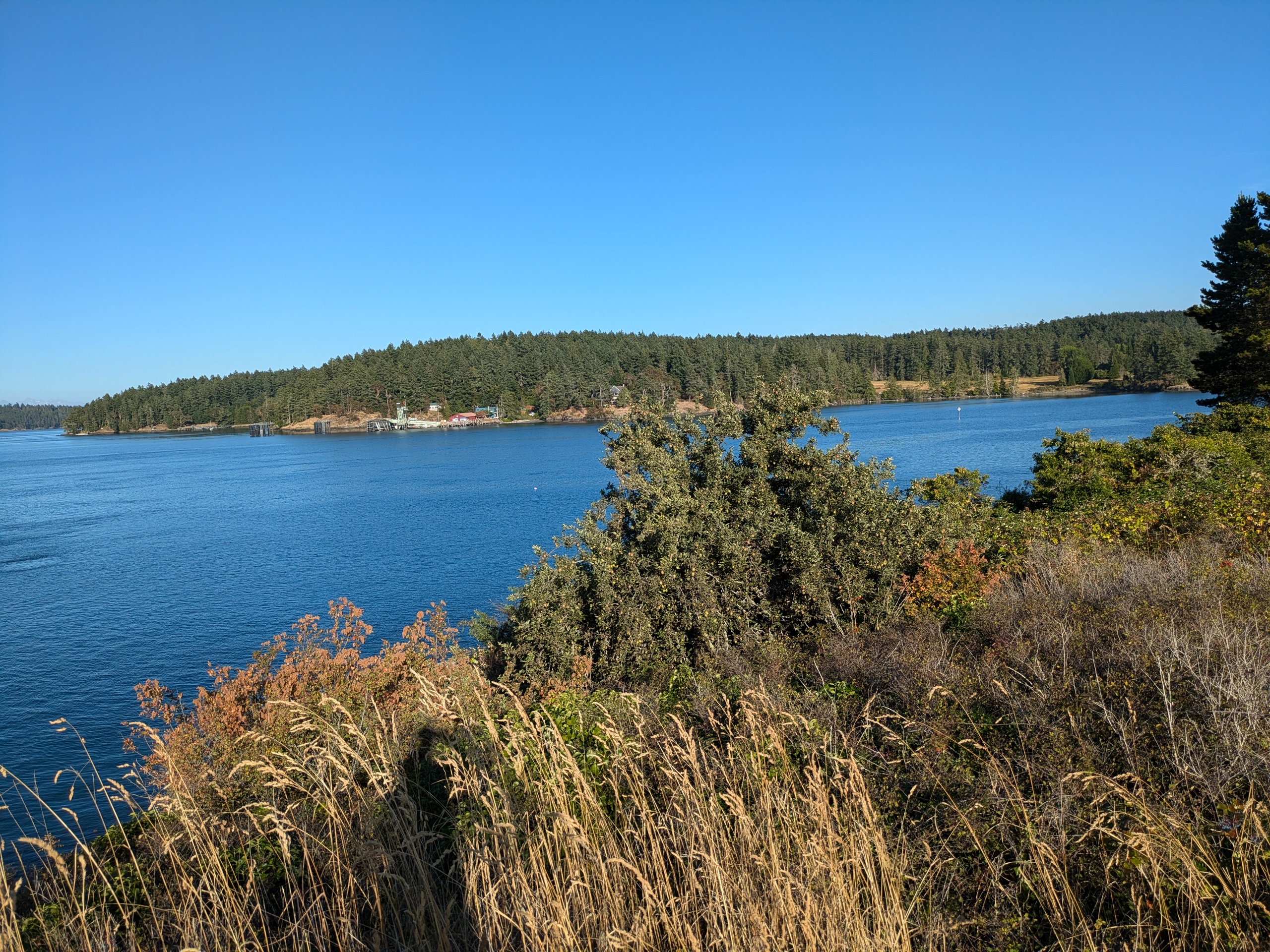
- Notes: The two bays — Prevost and Reid Harbors — are quite popular with sailors and cruisers. There were dozens of boats at anchor in both harbors.
Stuart Island Anthill
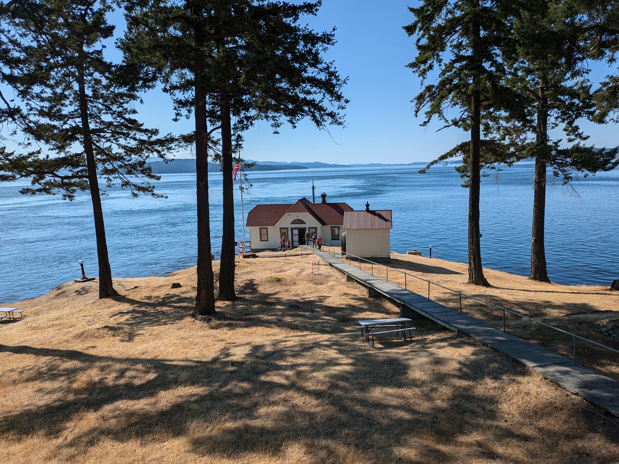
Stuart Island Lighthouse
Stuart Island State Park Trail
Stuart Island State Park Sign
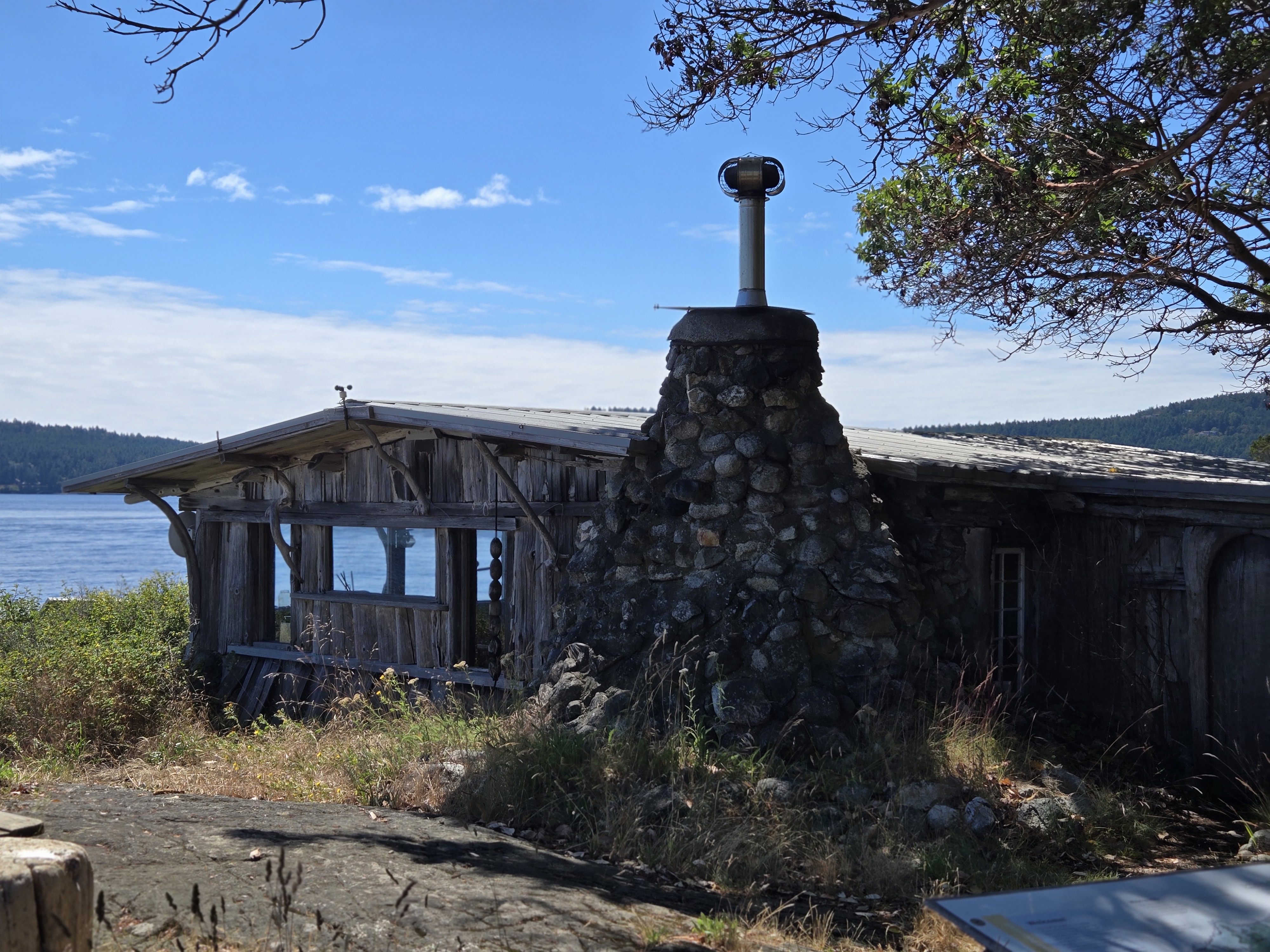
I visited this island twice: once after failing to secure dock space on Jones while showing some friends around and a scond time check out the lighthouse and to camp at the state park. I had just visited Patos (which has a real lighthouse) before visiting the Stuart Island lighthouse, so it was a bit of a dissappointment. It looks nothing like a conventional lighthouse, and its a bit of a walk from the county dock. I did purchase a discounted T-shirt featuring orca whales being abducted by aliens from the Treasure chest which, along with the unusual leafcutter anthill, made the walk worthwhile.
There were plenty of campsites and ample dock space when we showed up. The state park is on a narrow strip of land between Prevost and Reid harbor and has docks on both sides.
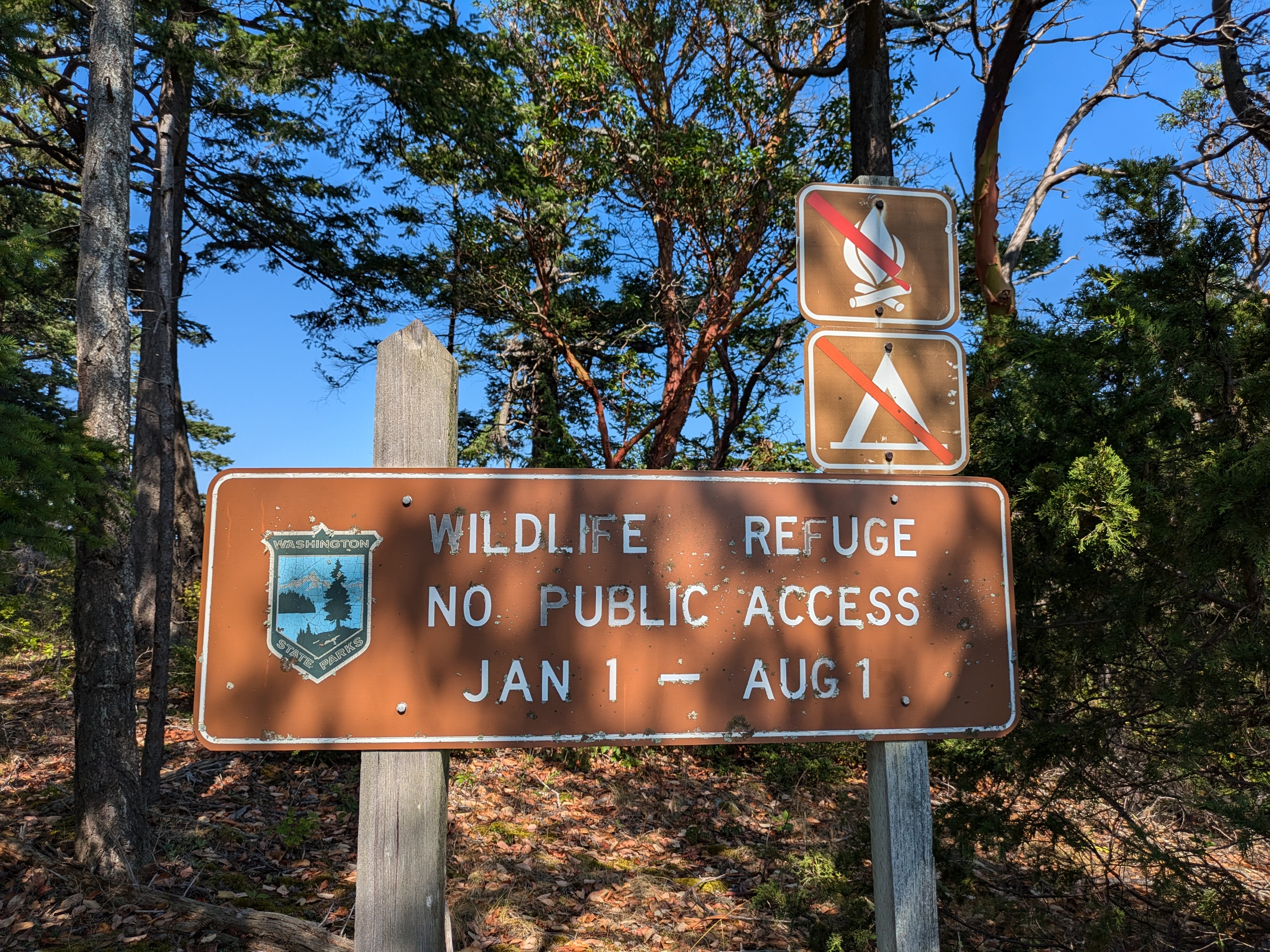
Washington State Parks Owned or Leased Islands
Some of these islands are well known and have established campgrounds, and some of the lesser known smaller islands have signs indicating that they are open to day use. Washington State Parks also owns several parcels on otherwise private islands with no signage. The exact ownership and use policies of these smaller properties is not well known even by the Washington State Parks Information Center; I did not receive any satisfactory responses to my queries about Justice and Iceberg Islands, so I did not bother asking about the properties on Johns and Center.
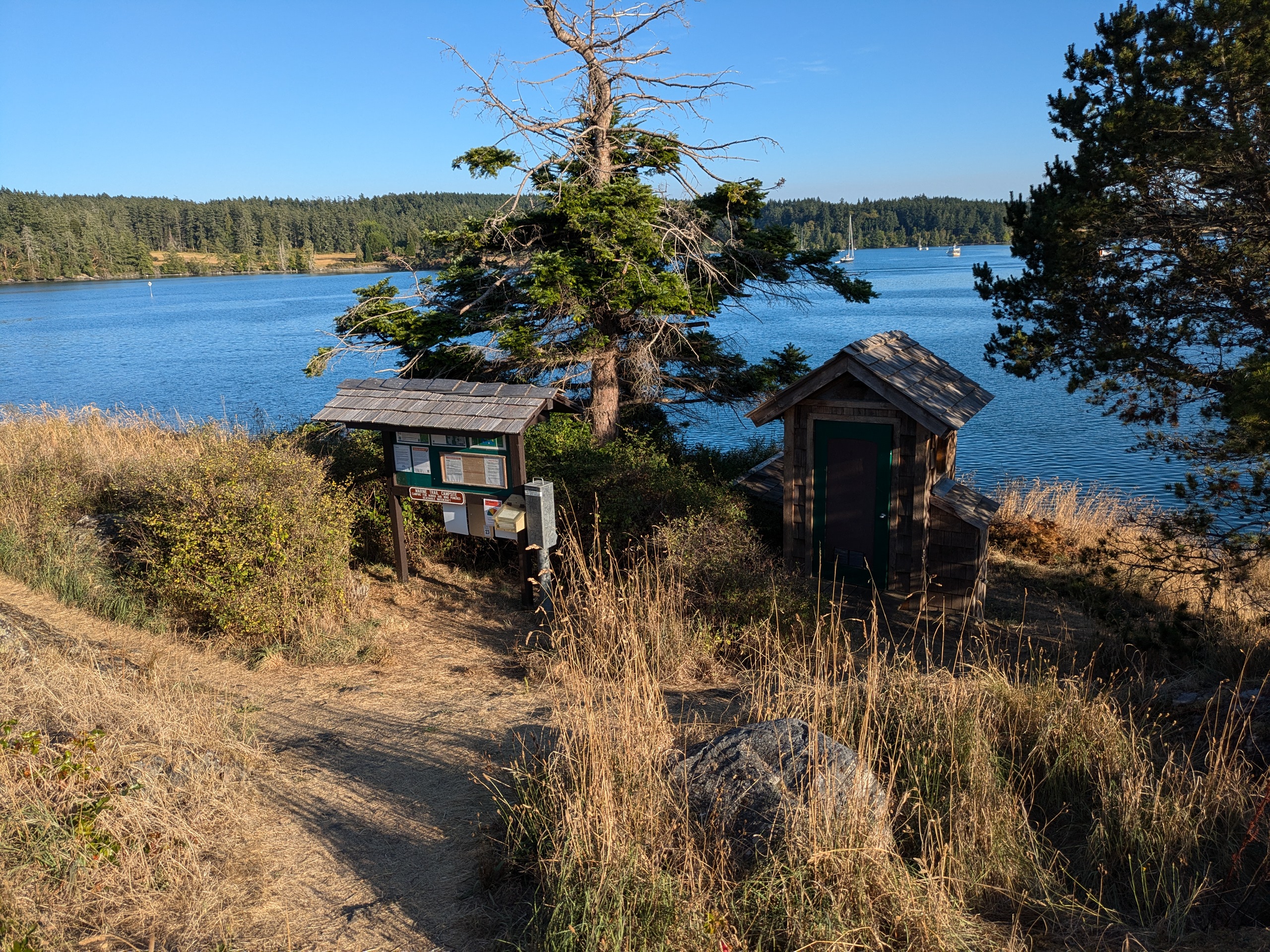
Blind Island
- Access: Beach
- Date Accessed: 7/28/25
- Size: 3 acres
- Population: 0
- Ownership: Washington State Parks
- Development: Campsites and Latrine
- Bllind Island State Park Map
- Notes: Only those arriving on human-powered watercraft can camp on Blind
Blind Island
Blind Island Campsite
Blind Island Apple Tree
Blind Island Latrine
Blind Island is located in Blind Bay off of Shaw Island. I accessed it by anchoring in the bay and paddleboarding over. There were several campers on the island when I visited. There was an apple tree within blackberry brambles on the top of the island.
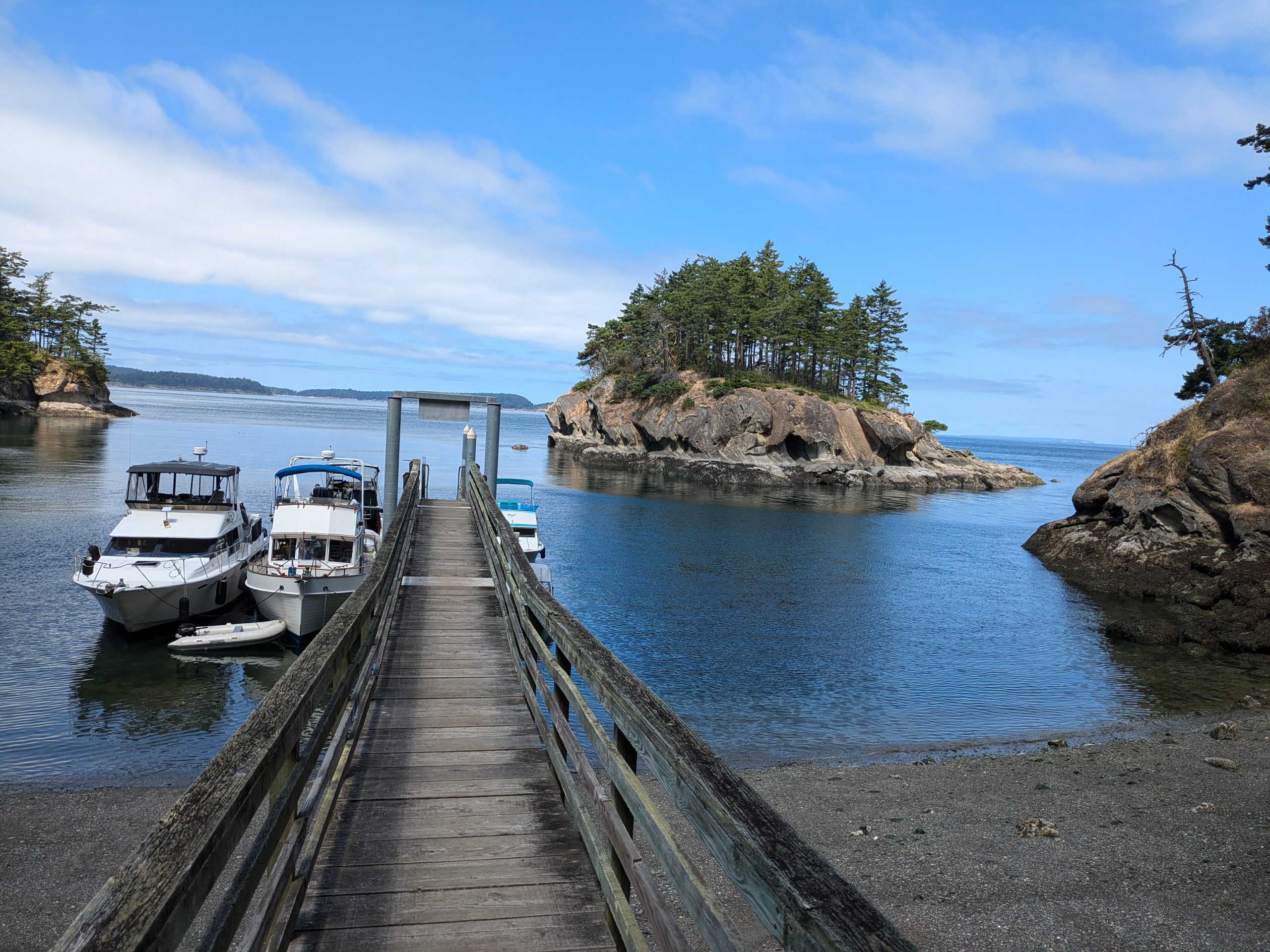
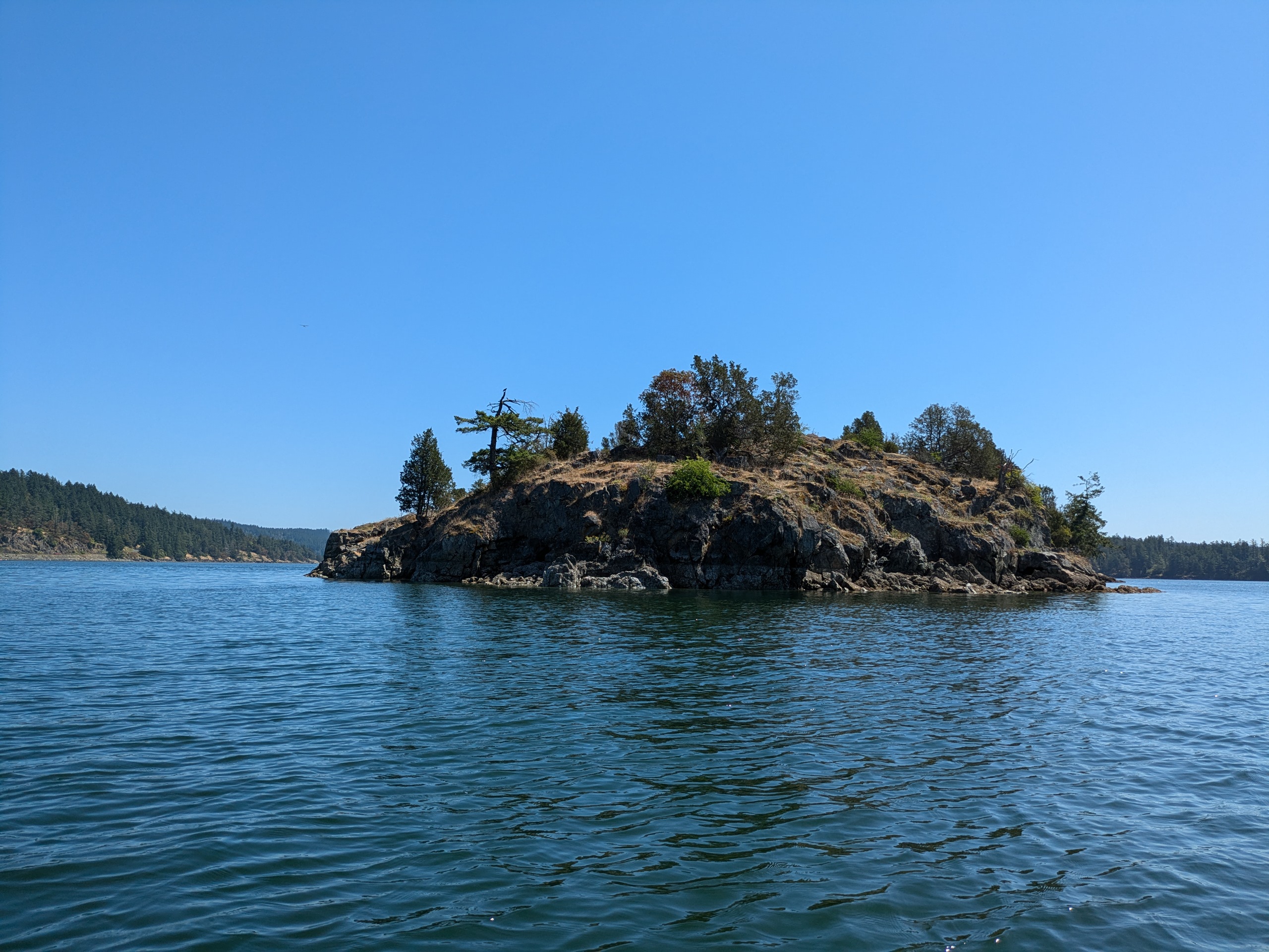
Cemetery Island
- Access: Rocky Beach
- Date Accessed: 7/31/25
- Size: 0.8 acres
- Population: 0
- Ownership: Washington State Parks
- Development: None.
- Notes: Not publicized as a state park, but there is day use signage.
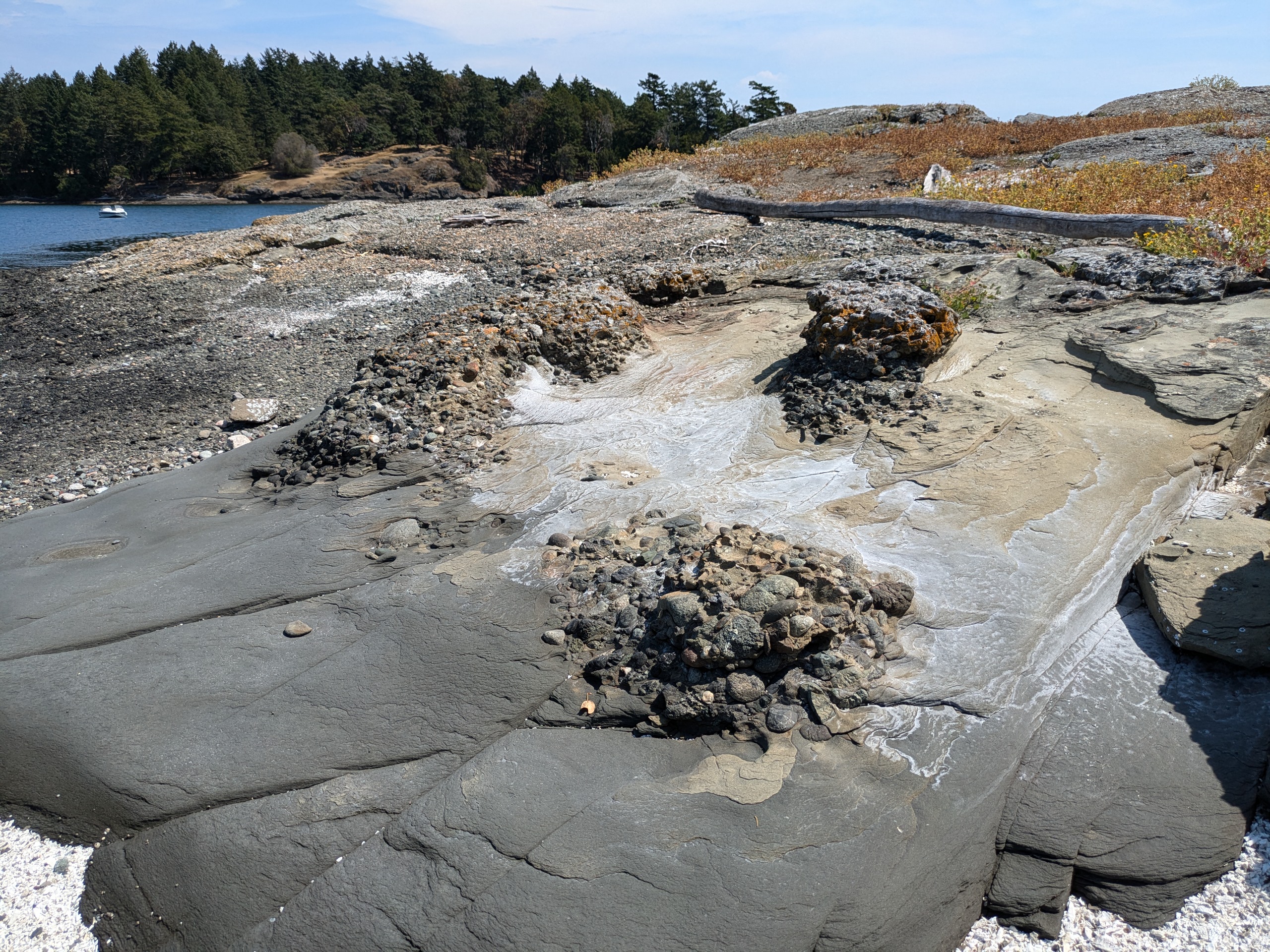
Cemetery Island Rock Formations
Cemetery Island`s One Tree
Cemetery Island North Beach
Cemetery Island
Cemetery is a mostly barren island with one tree, a geocache and interesting rock formations on the beach. It is located next to Gossip island at the entrace to Reid Harbor. Older maps do indicate that this island is a cemetery, but it seems unlikely it was ever used as such by settlers. It may well have been used by Indian tribes as their burial practices often involved leaving bodies on the shores of infrequently visited islands and permitting nature to take its course in disposing of the body. Today there are no obvious signs of past human uses of this island.
Clark Island
- Access: Beach
- Date Accessed: 7/16/25
- Size: 55 acres
- Population: 0
- Ownership: Washington State Parks
- Development: State Park
- Clark Island State Park Map
- Notes: The adjacent island, Barnes, is private.
Clark Island Sandy Western Beach
Clark Island Rocky Eastern Beach
Clark has on its western shore a sandy beach which is an infrequent sight in the San Juans. I could have landed here, but it was before I'd gained the boat competence needed to know that at the time. Instead, I tied up to a mooring ball in the cove off of the rocky eastern shore and took a paddleboard to land. It is a narrow island with several campsites. The island was designated as a Lighthouse preserve in 1896 which kept it from entering private hands. It was acquired by Washington State Parks in 1964.
Barnes island just to the west of Clark is private and is currently operated as a private Christian camp. In the 1970s, it was a base for Marijuana smuggling.
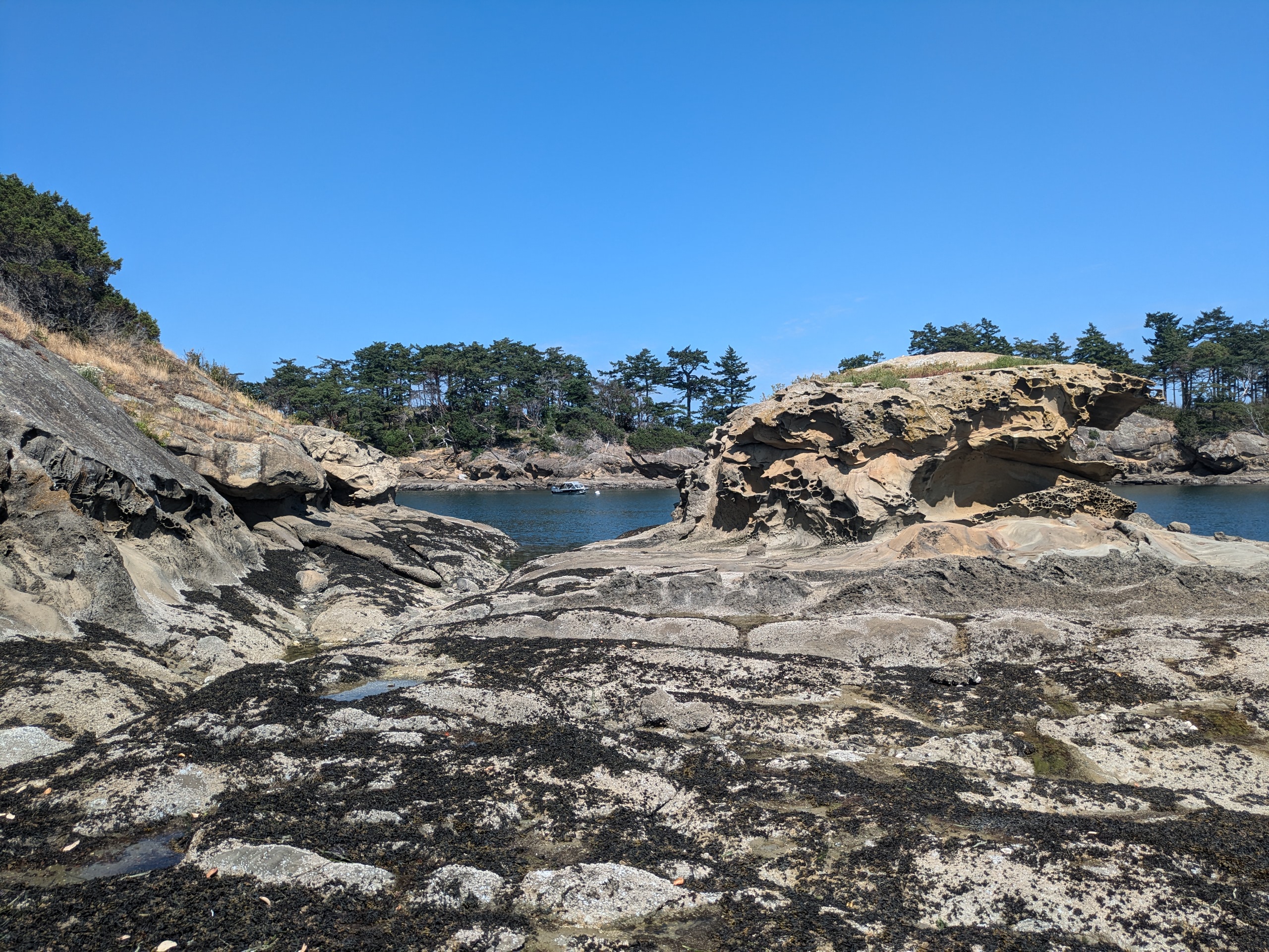
Cluster Islands
- Access: Rocky Shore
- Date Accessed: 7/22/25
- Size: 5 Acres
- Population: 0
- Ownership: Washington State Parks
- Development: None.
- Sucia Island State Park Map
- Note: Smaller island within Sucia Island State Park
Cluster Island View From Water
Cluster Island View from Shore
These small islands off of Sucia are a good example of the sort of rocks that are typically off limits in San Juan Islands National Monument. They're a beautiful spot to kayak and paddleboard around, but with the proximity of Sucia there isn't much reason to go there except to say that you did.
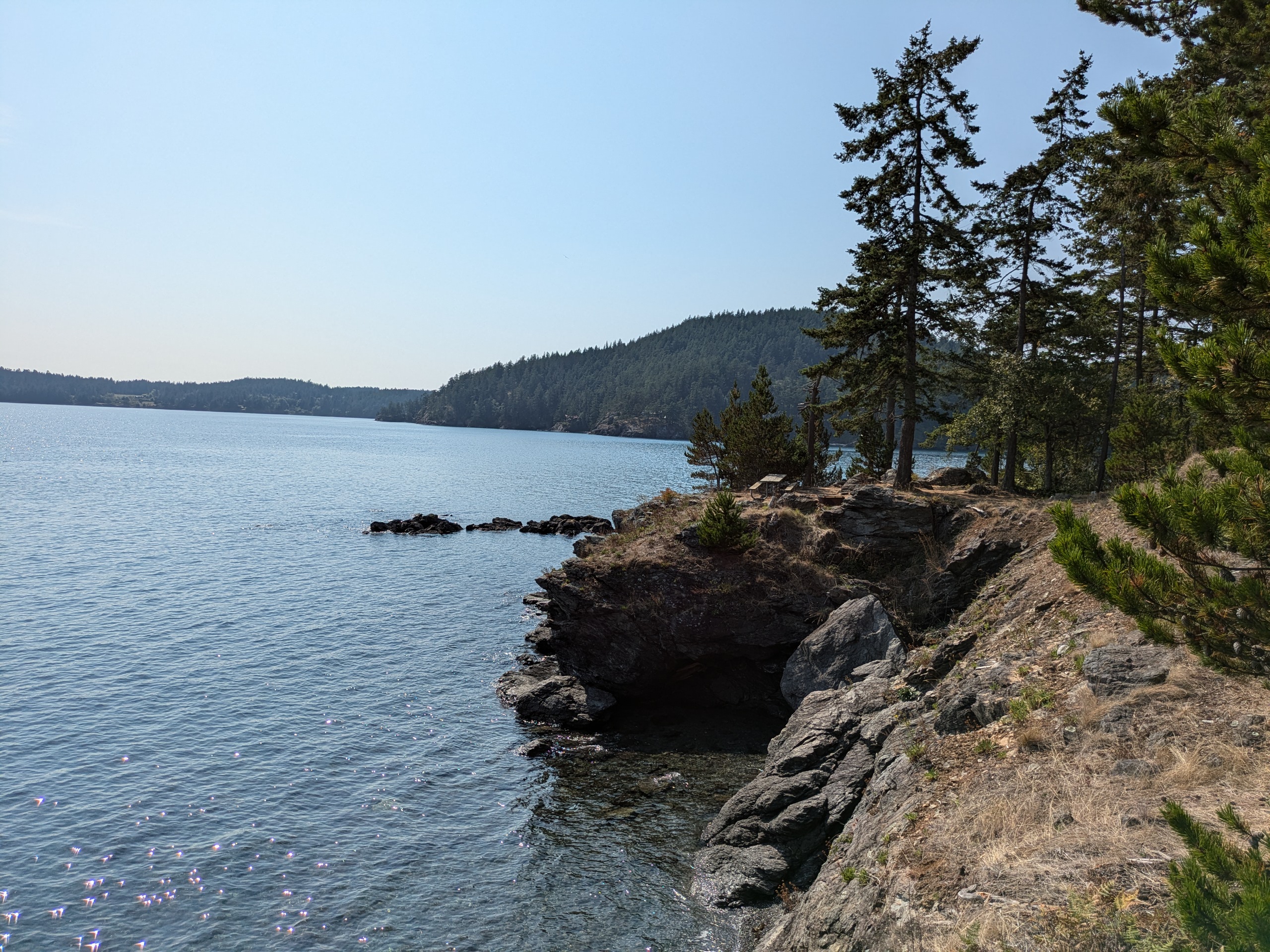
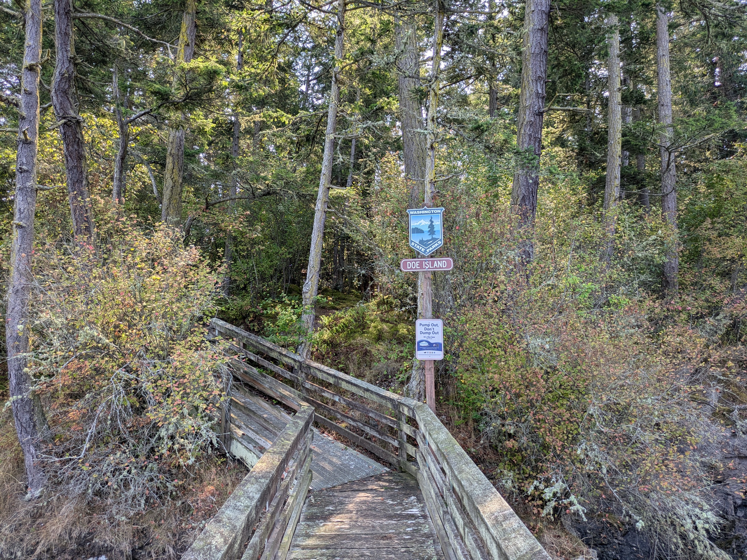
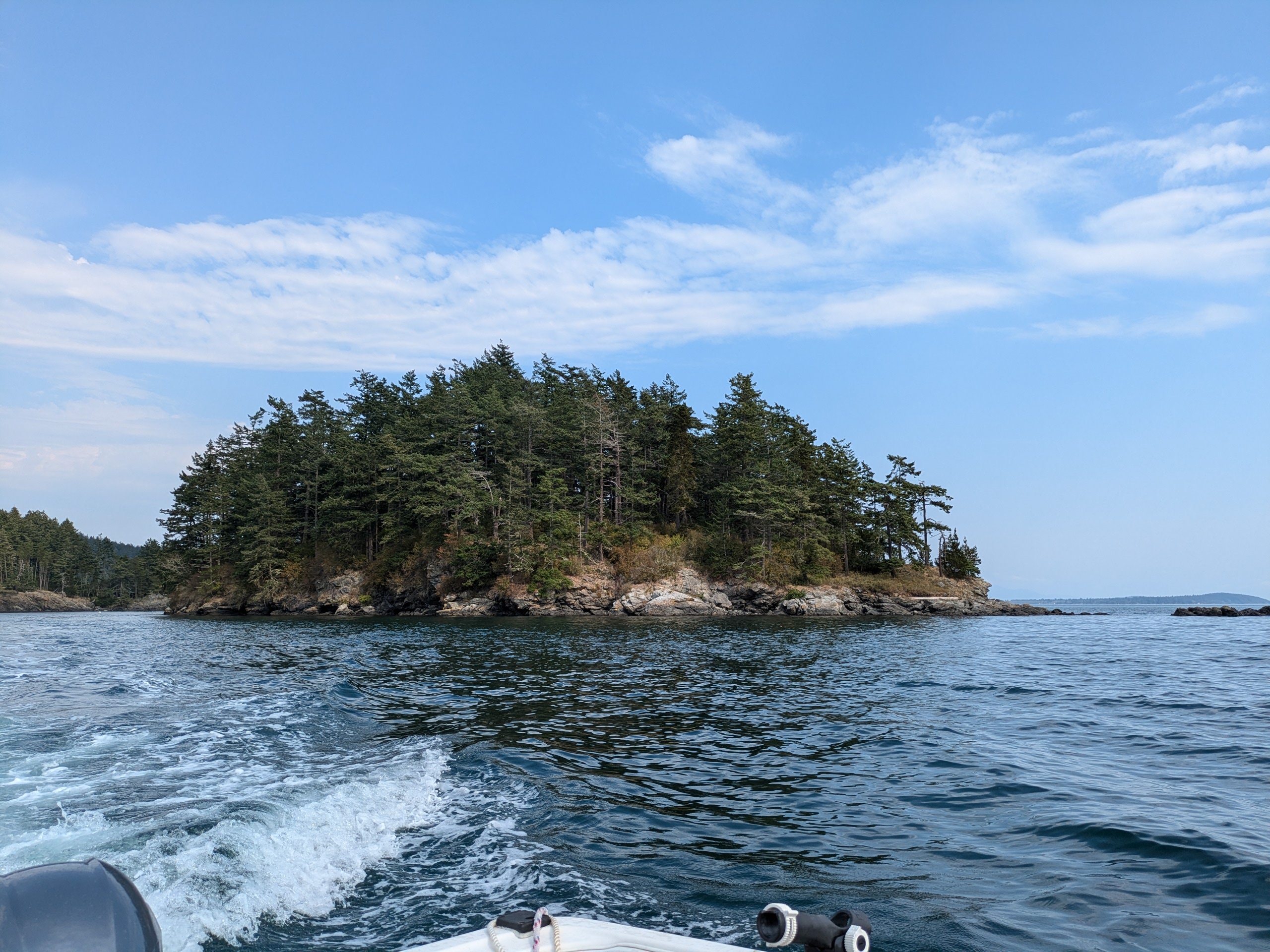
Doe Island
- Access: Dock
- Date Accessed: 9/1/25
- Size: 5.9 acres
- Population: 0
- Ownership: Washington State Parks
- Development: Campsites and Latrine
- Doe Island State Park Map
- Notes: Small lesser known state park island.
Doe Island Campsite
Doe Island Dock
Doe Island
Doe Island (center) From Kenmore Air Flight
Doe island is close to Doe Bay on Orcas and is probably the smallest state park island in the San Juans with a dock. The campsites are scattered around the perimeter.
Ewing Island
- Access: Rocky Shore
- Date Accessed: 7/22/25
- Size: 15.3 acres
- Population: 0
- Ownership: Washington State Parks
- Development: None.
- Sucia State Park Map
- Notes: Smaller island within Sucia Island State Park.
Ewing Island Shorline
There are no trails or good clearings on Ewing (at least in the central part of the island). The shoreline has rock outcroppings and can be scampered around.
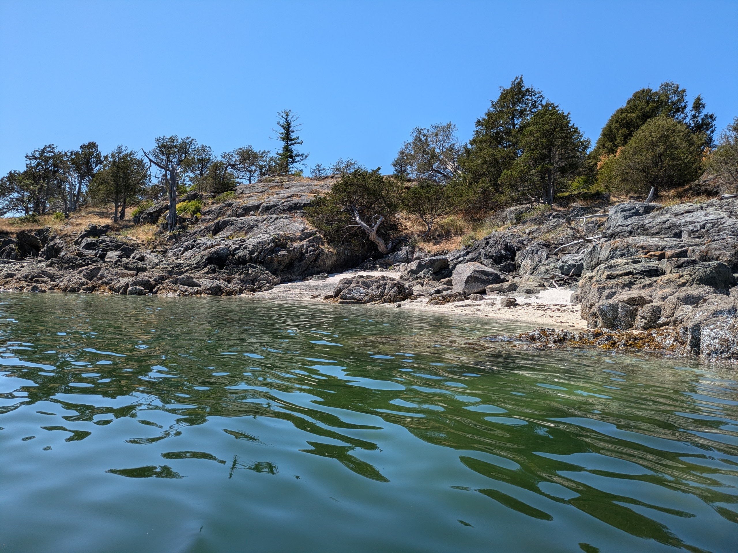
Gossip Island
- Access: Sandy Beach
- Date Accessed: 7/24/25
- Size: 1.8 acres
- Population: 0
- Ownership: Washington State Parks
- Development: None
- Notes: Not publicized as a state park, but there is day use signage.
Gossip Island North Beach
Gossip Island Seen from Cemetery Island
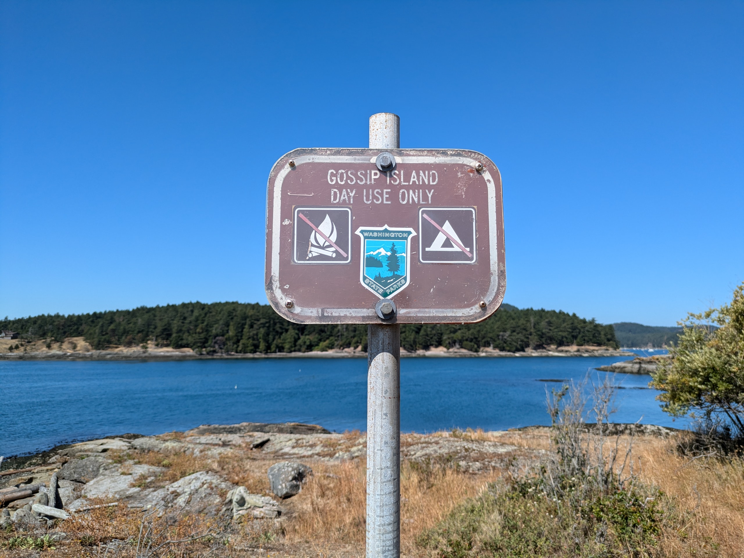
Gossip Island Sign
Gossip Island Picnic Area
Gossip Island is next to Cemetery island at the entrance to Reid harbor. There is a sandy beach on the north side of the island that you can nose a boat into.
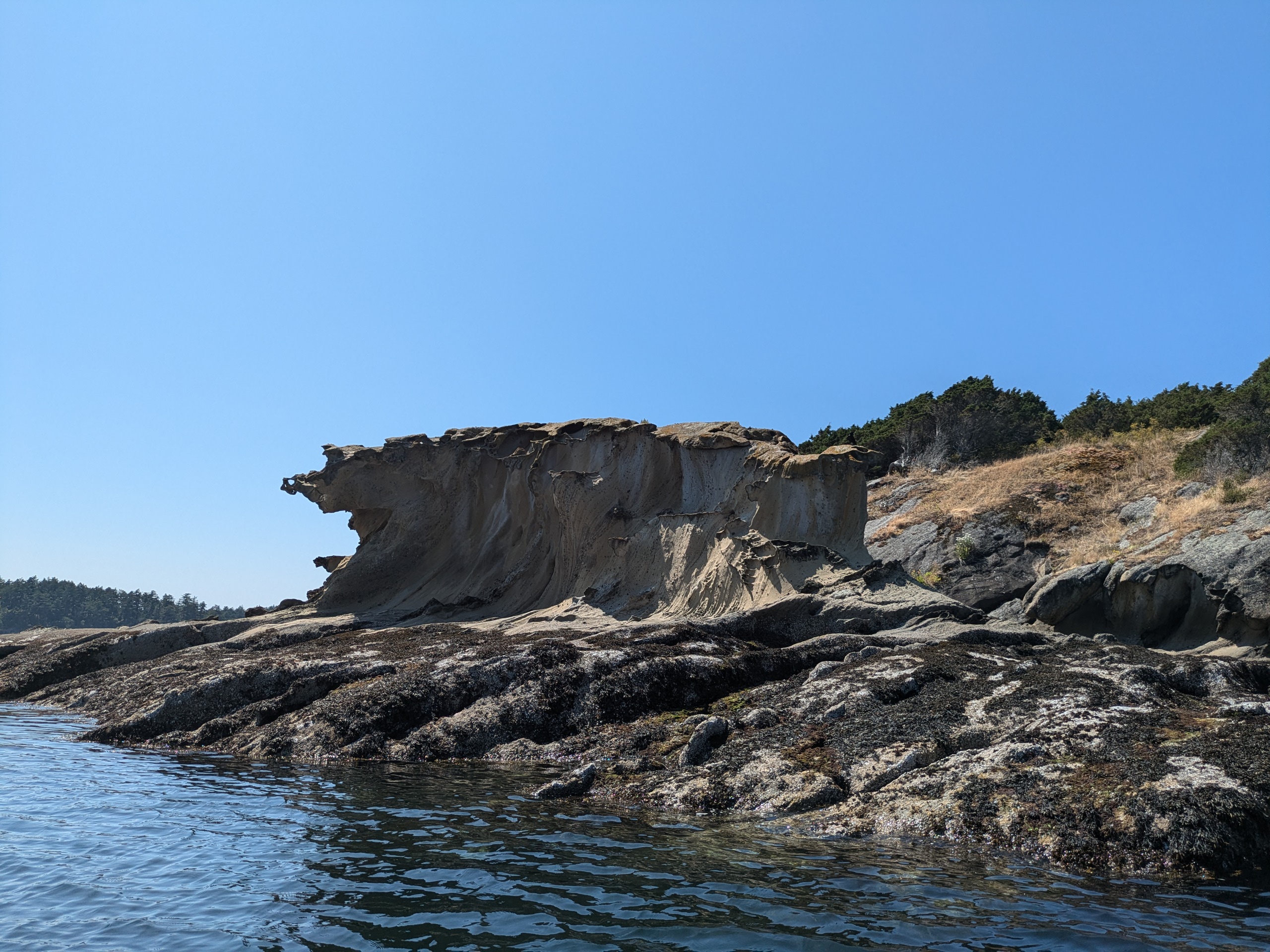
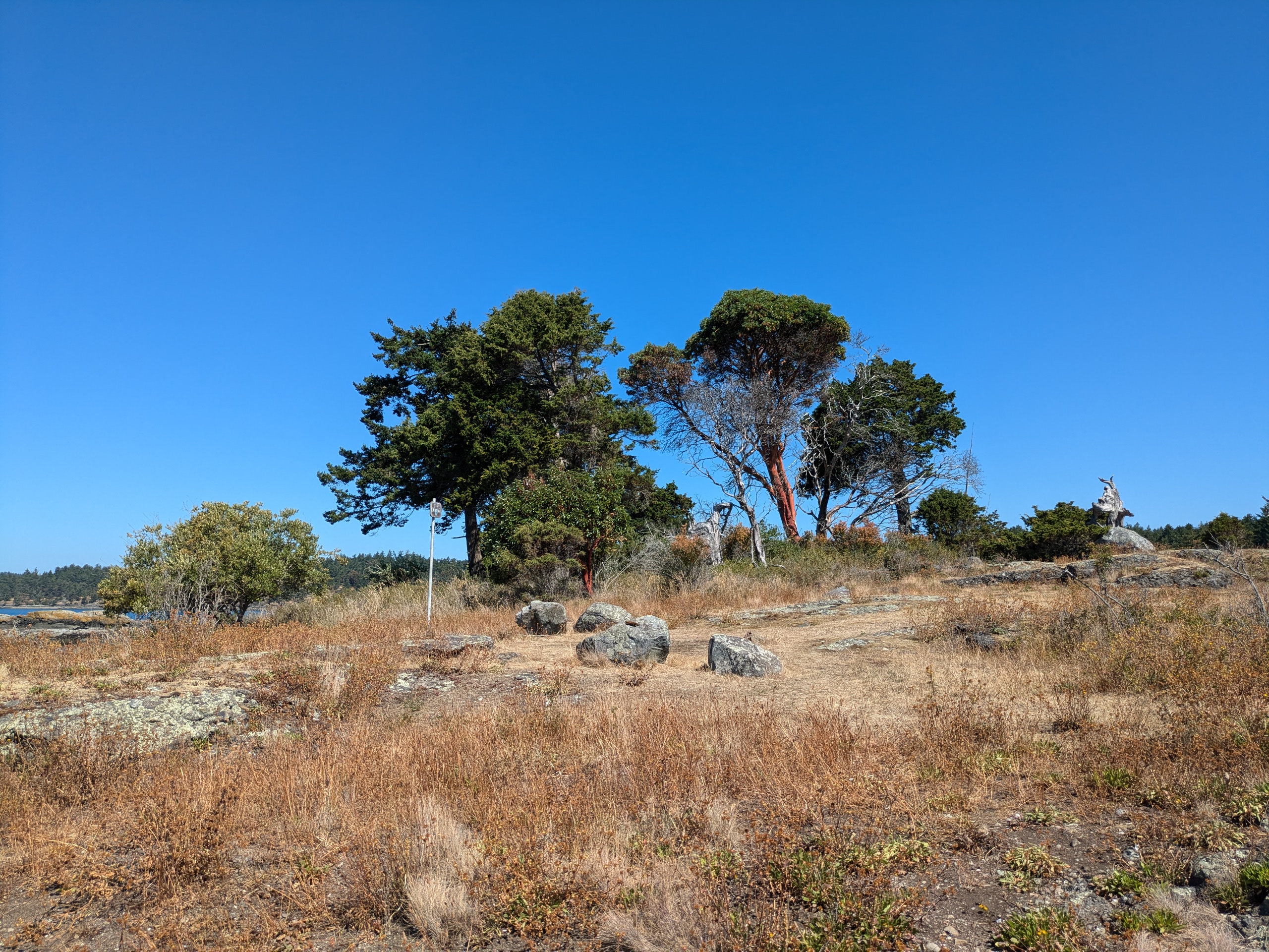
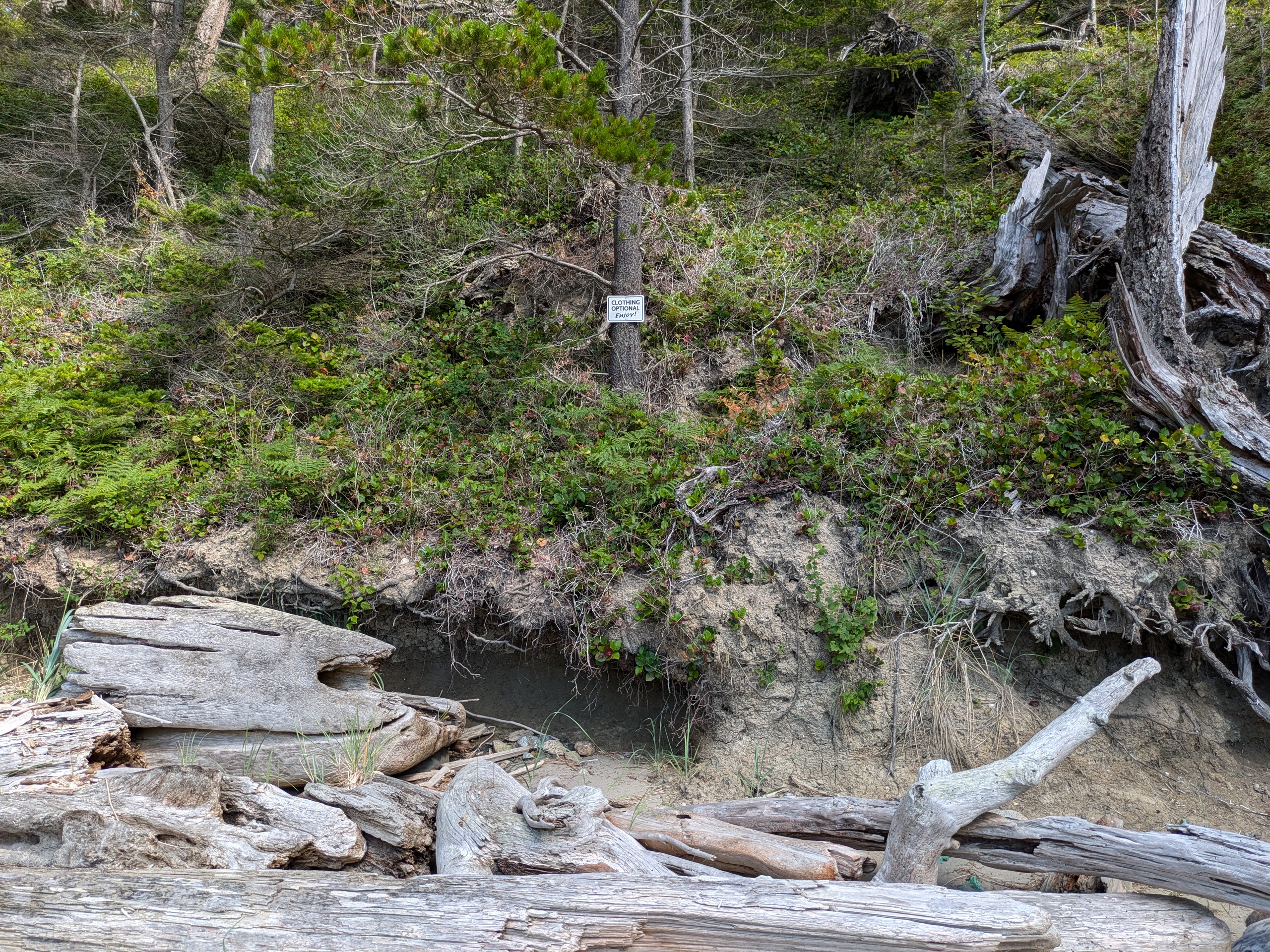
Iceberg Island
- Access: Rocky Shore
- Date Accessed: 8/31/25
- Size: 2.8 acres
- Population: 0
- Ownership: Washington State Parks
- Development: None.
- Notes: Not publicized as a state park, but it is owned by Washington State Parks and has signage.
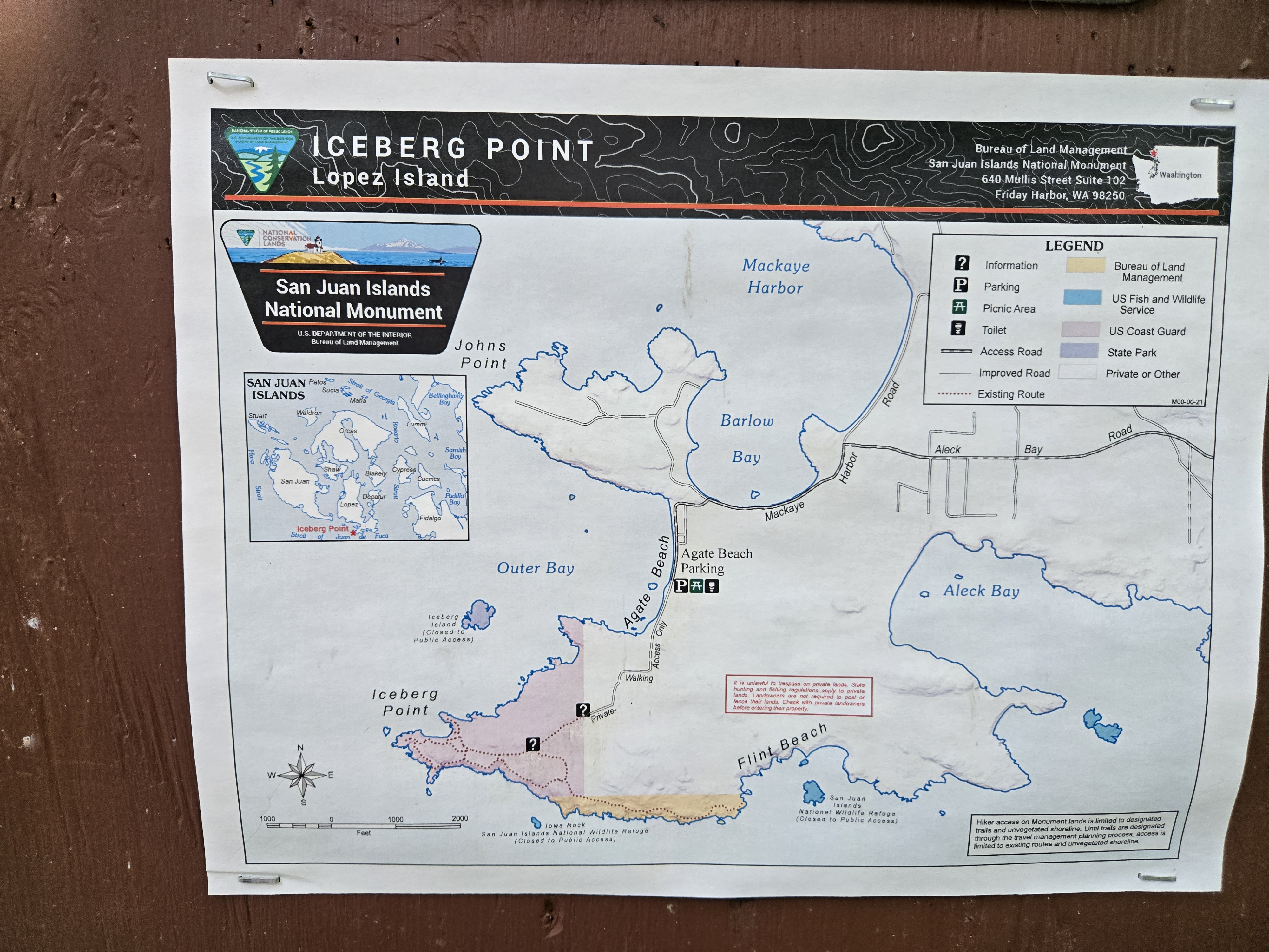
Erronious BLM Map at Iceberg Point
Iceberg Island (Top Center)
Iceberg Island South Cove
Iceberg Island West Shore
Iceberg Island Plants
Iceberg Island Protected Area
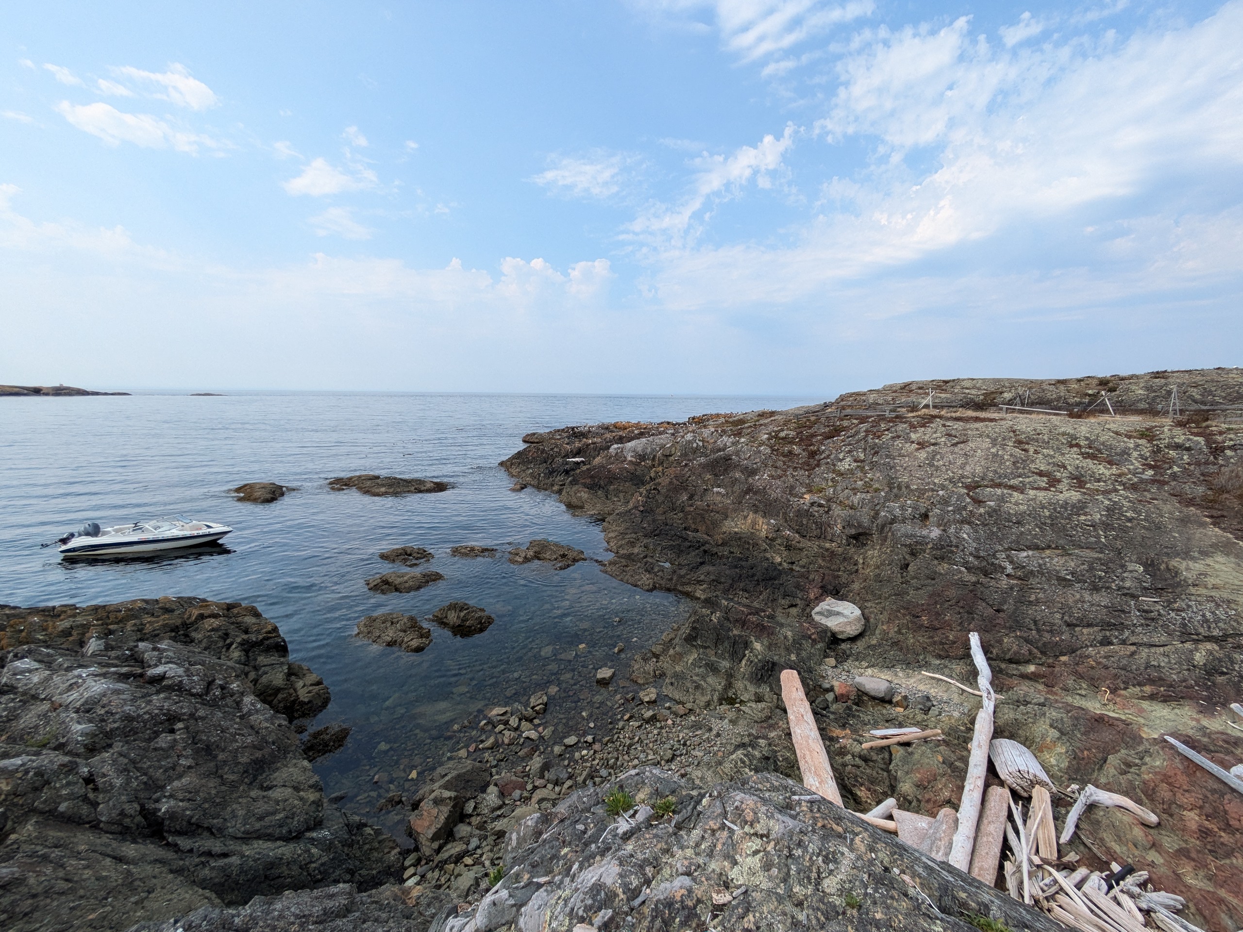
I was experiencing fuel pump issues on my boat at the end of July, so I took an interisland ferry to Lopez with plans of launching my Paddleboard from Agate Beach County Park. Apparently there used to be stairs to the beach at this park which have since washed away. The road along the shore is also in the process of washing away. In an insultingly overprotective and impotent attempt to slow coastline erosion, the county has put up signs designating the beach as off limits for reasons of 'safety'. Compared to the shores that I accessed on islands such as Center and Johns, the couple feet of rocks down to the beach here are no obstacle whatsoever. However, part of the of this exercise — making an access map — is to not trespass and to not violate official signage, so I looked on to the National Monument lands at Iceberg Point to launch my paddleboard.
Access to the Monument lands is through private property, so you have to walk in from the parking lot at Agate Beach. I drug my paddleboard along for a mile or so before I came to a map which designated Iceberg Island as off-limits. I turned around at that point satisfied that my mission had been accomplished: the island was off-limits, so I no longer had a reason to access it. However, over the rest of the day I began to suspect that the posted map was in error. It does not match the map on the BLM website and I could find no evidence online that the park was closed. I emailed Washington State Parks Information Center, but the representative that responded to me had never heard of this property and forwarded my request to someone else who I never heard back from.
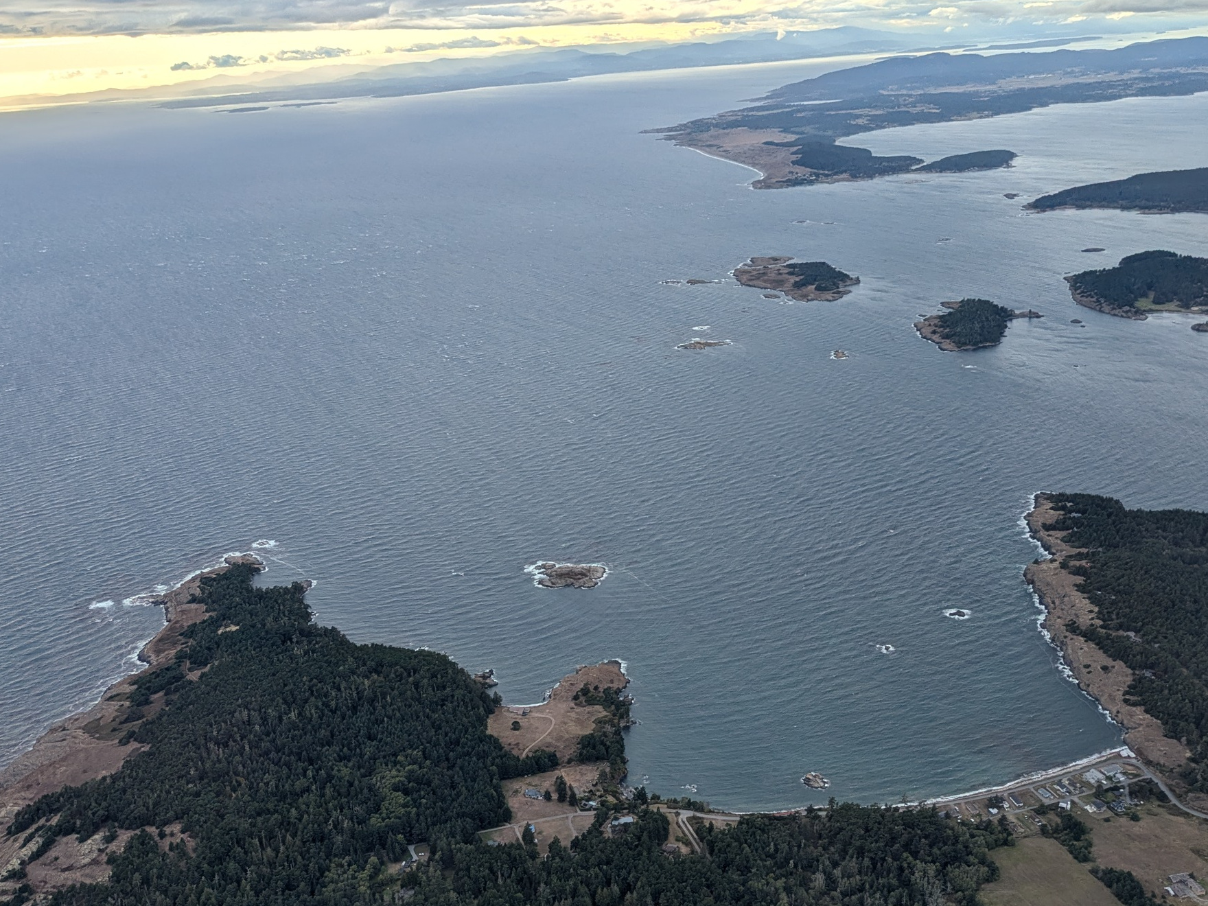
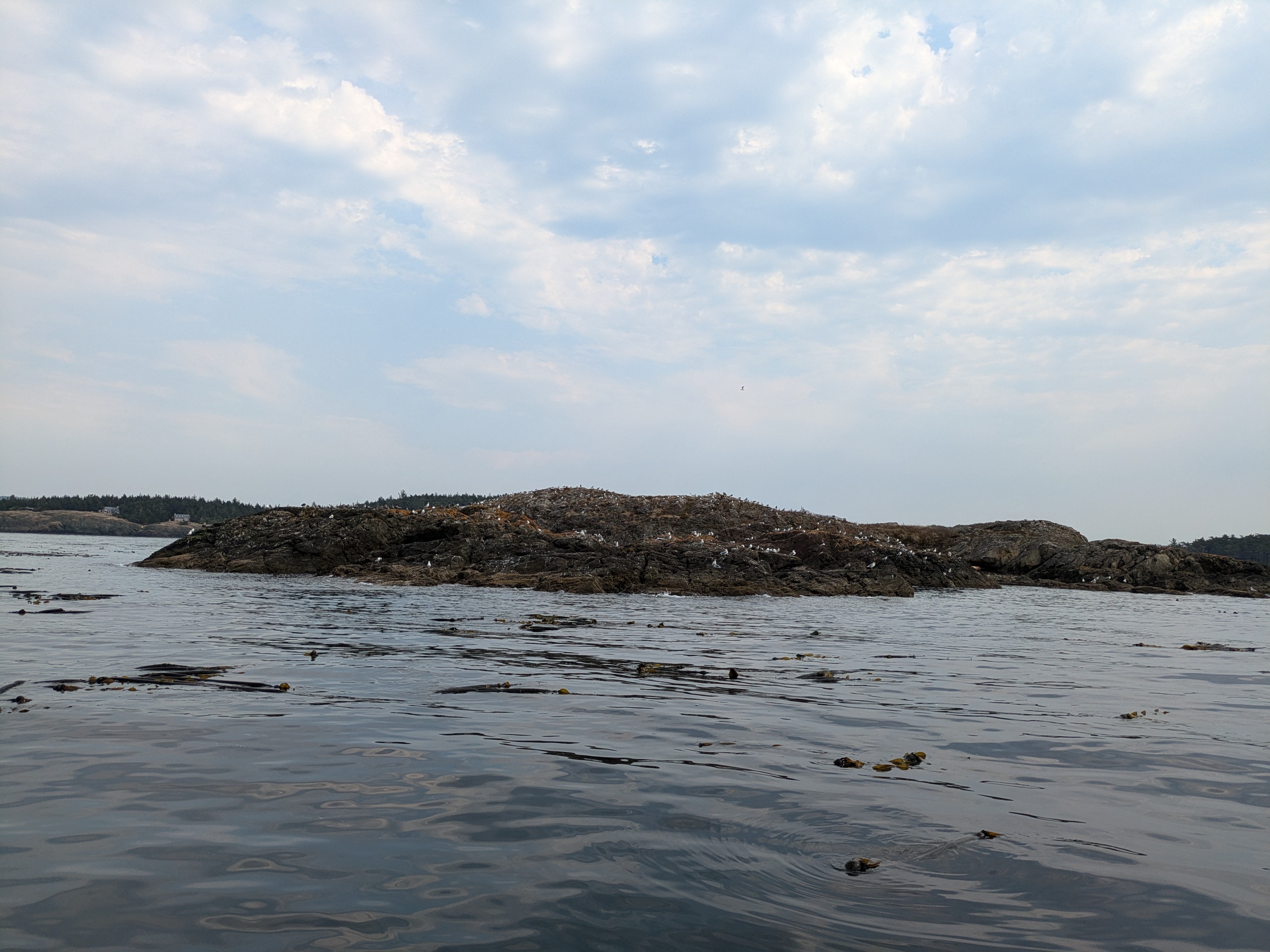
My fuel pump issue was resolved in late August, and the weather on August 31 was particularly calm so I decided to settle the question of access to Iceberg Island once and for all. You must pass through the unprotected waters south of Cattle Pass to get to Iceberg which is not something I'd want to do in my small boat in anything but calm weather. The trip in was uneventful aside from bouts of rain, but my arrival was dramatic: Hundreds of seagulls took off and began circling their section of the island when I was a few hundred yards off shore. I navigated counter clockwise around the island starting from the southern shore and determined the southern cove to be the best landing spot. Nowhere on the perimeter of the island are their signs indicating that it is closed to the public.
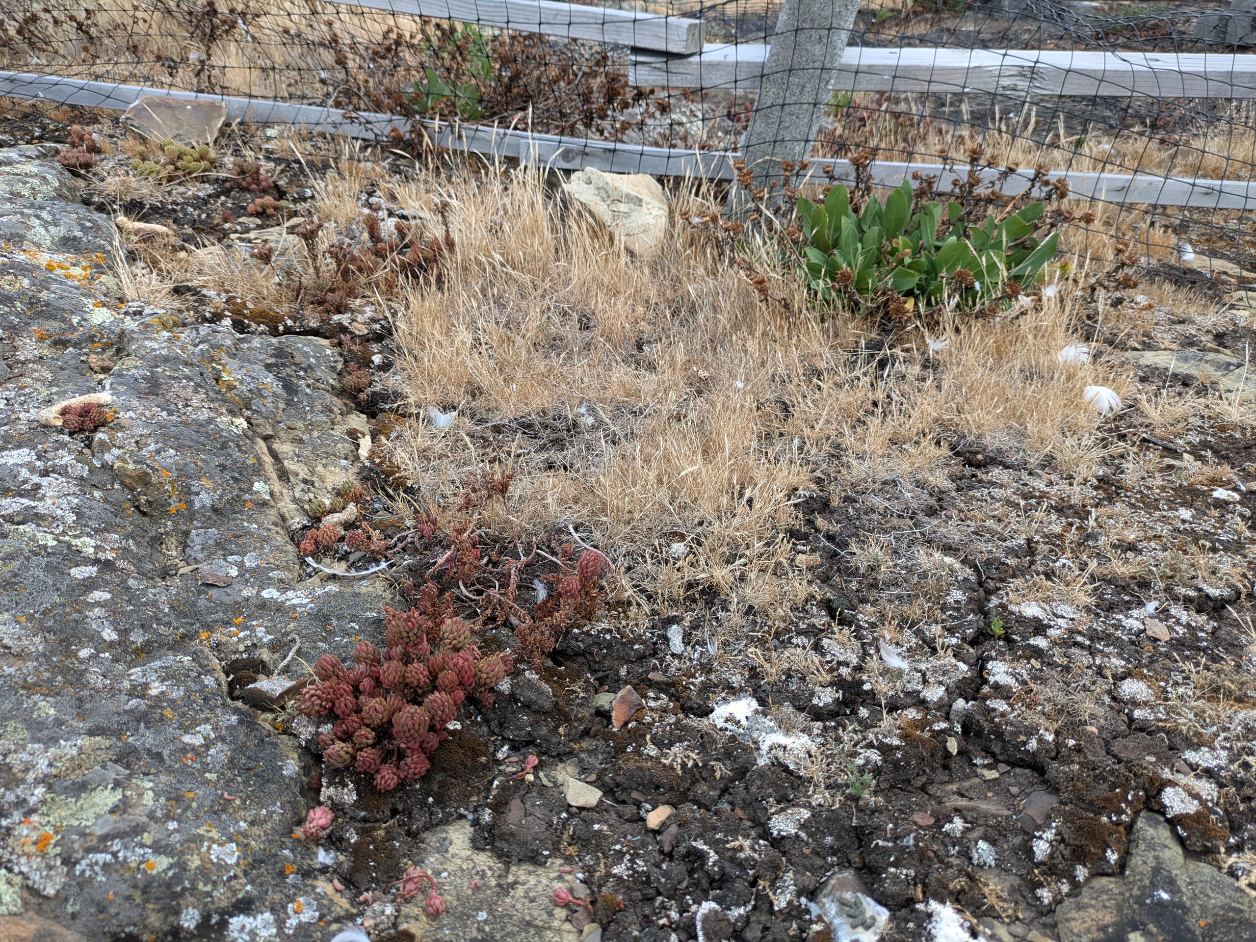
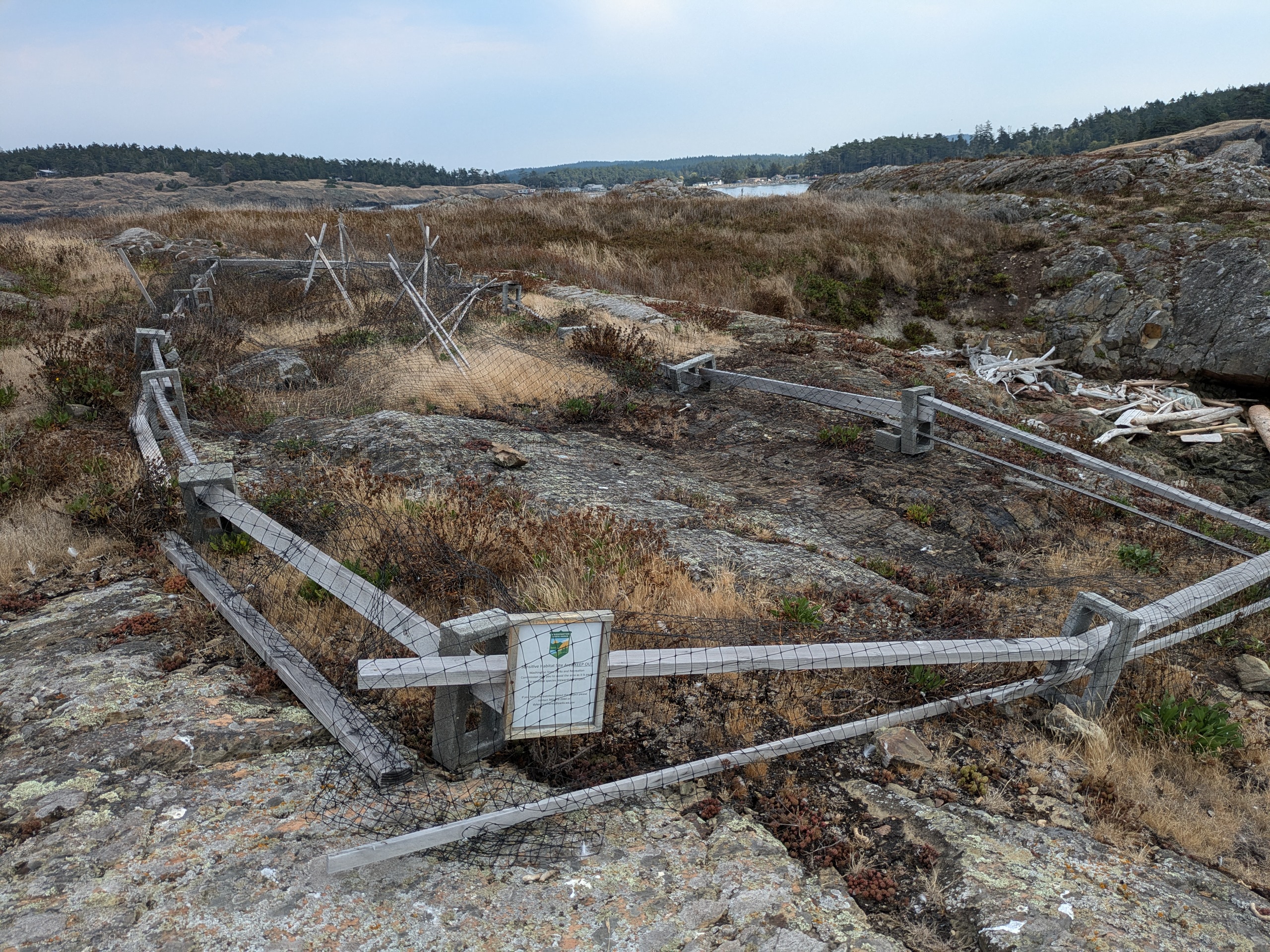
On shore, the only signage is associated a split rail fence protecting a small portion of the island which is labeled as a "Sensitive Habitat Area." I believe that this is there to protect one of four known populations of Victoria's Paintbrush which is an endangered species of Broomrape which are parasitic flowering plants. I visited at the end of the dry season, so I did not observe any of these plants. It seems to still be thriving on this island as of June 2024.
Overall, unless you want to look at rare flowers or smell a bird island, you won't miss much by skipping Iceberg. Most other bird nesting islands in the San Juans are protected as part of the San Juan Islands National Wildlife reguge or are inaccessible islands and rocks within San Juan Islands National Monument. While there are much smellier bird nesting islands, Iceberg does not smell good and I wouldn't want to stop there for a picnic. When I visited, a large flock of seagulls congragated on the western portion of the island, a few Oyster Catchers were on a bluff to the southeast, and a few Canada Geese were on the northeastern shore.
James Island
- Access: State Park Dock
- Date Accessed: 7/29/25
- Size: 113 acres
- Population: 0
- Ownership: Washington State Parks
- Development: State Park.
- James State Park Map
- Notes: Popular with mainland boaters as it is the first island coming in from Anacortes.
James Island from Kenmore Air Flight
James Island East Shore
James Island Bluff
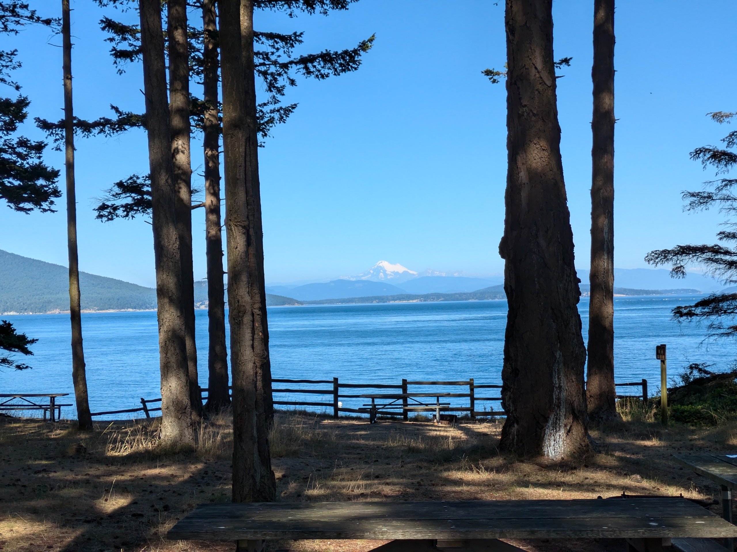
Mount Baker
The campsites near the dock (west side of the island) have a great view of Mount Baker. I hiked the loop trail around the central section of the island and had a great view of Decatur island and the dock.
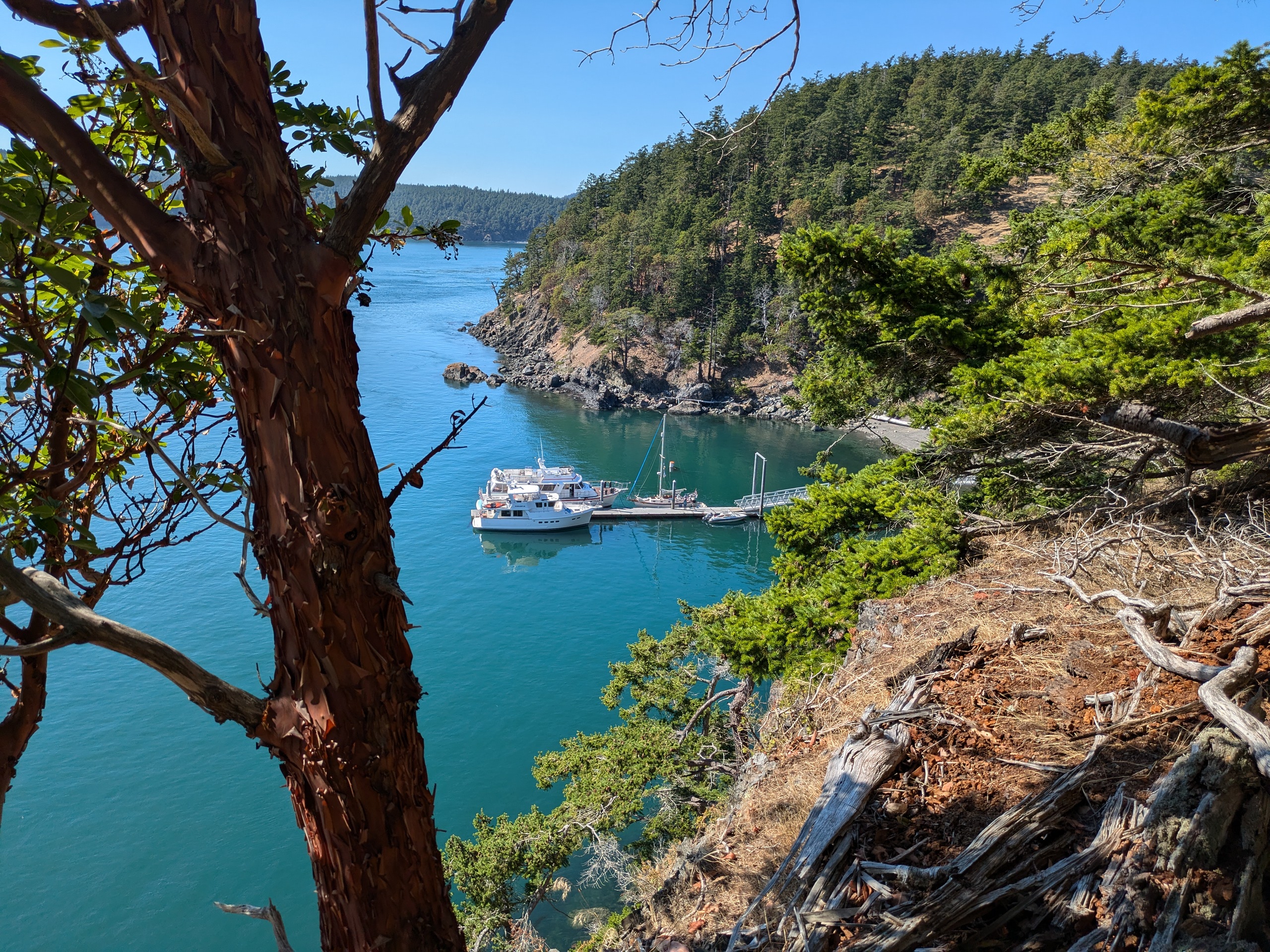
Jones Island
- Access: State Park dock.
- Date Accessed: 7/10/25
- Size: 188 acres
- Population: 0
- Ownership: Washington State Parks
- Development: State Park.
- Jones Island State Park Map (poor quality)
- Notes: The raccoons on Jones are unusually ferocious.
Jones Island South Shore
Jones Island Dock
The southeasternmost campsite on Jones Island is my favorite in all of the San Juans. The campsite includes a rock bluff to sun on overlooking the ocean to the south. Access can be from the dock to the north or the beach to the south. The dock seems to be full most of the summer but is generally available in the shoulder season.
Matia Island
- Access: State Park dock
- Date Accessed: 7/21/25
- Size: 145 acres
- Population: 0
- Ownership: San Juan Islands National Wildlife Refuge (Leased by Washington State Parks)
- Development: State park with dock.
- Matia State Park Map
- Notes: There was once a hermit on Matia.
Secluded Cove
Matia Island Dock
Matia is part of the San Juan Islands National Wildlife Refuge. There arn't clear demarcations between the accessible and inaccessible portions of the island which results in it seeming like a bit of a free-for-all. I haven't seen any evidence of the past inhabitation of the island by a hermit aside from the presense of an apple and pear tree though the location of the Harmit's cabin does appear on the map in the book The San Juan Islands (Afoot & Afloat).
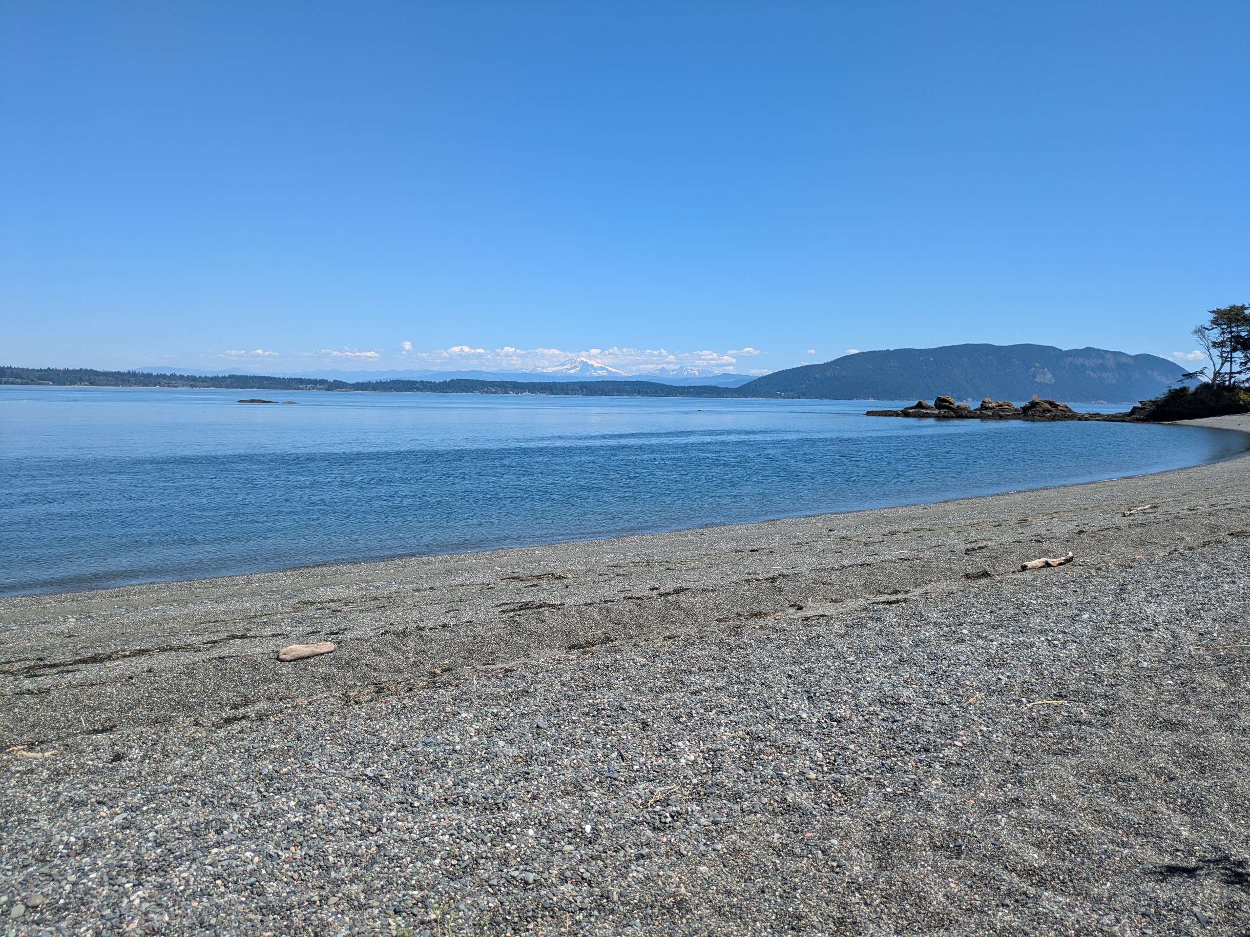
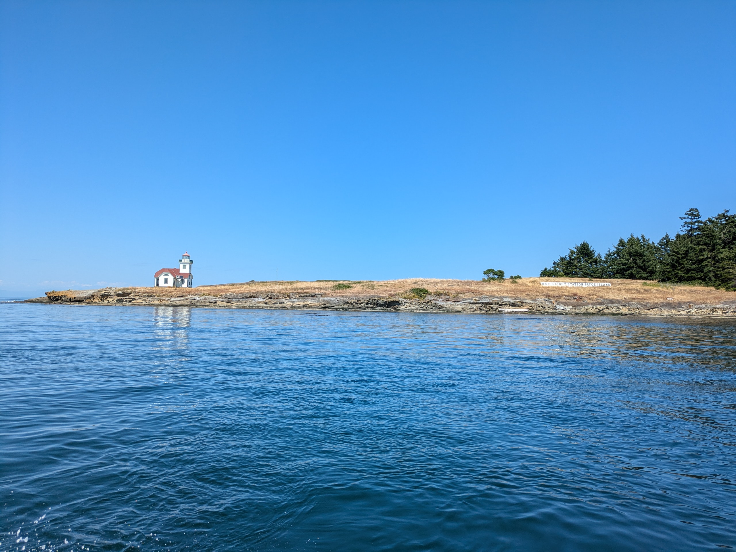
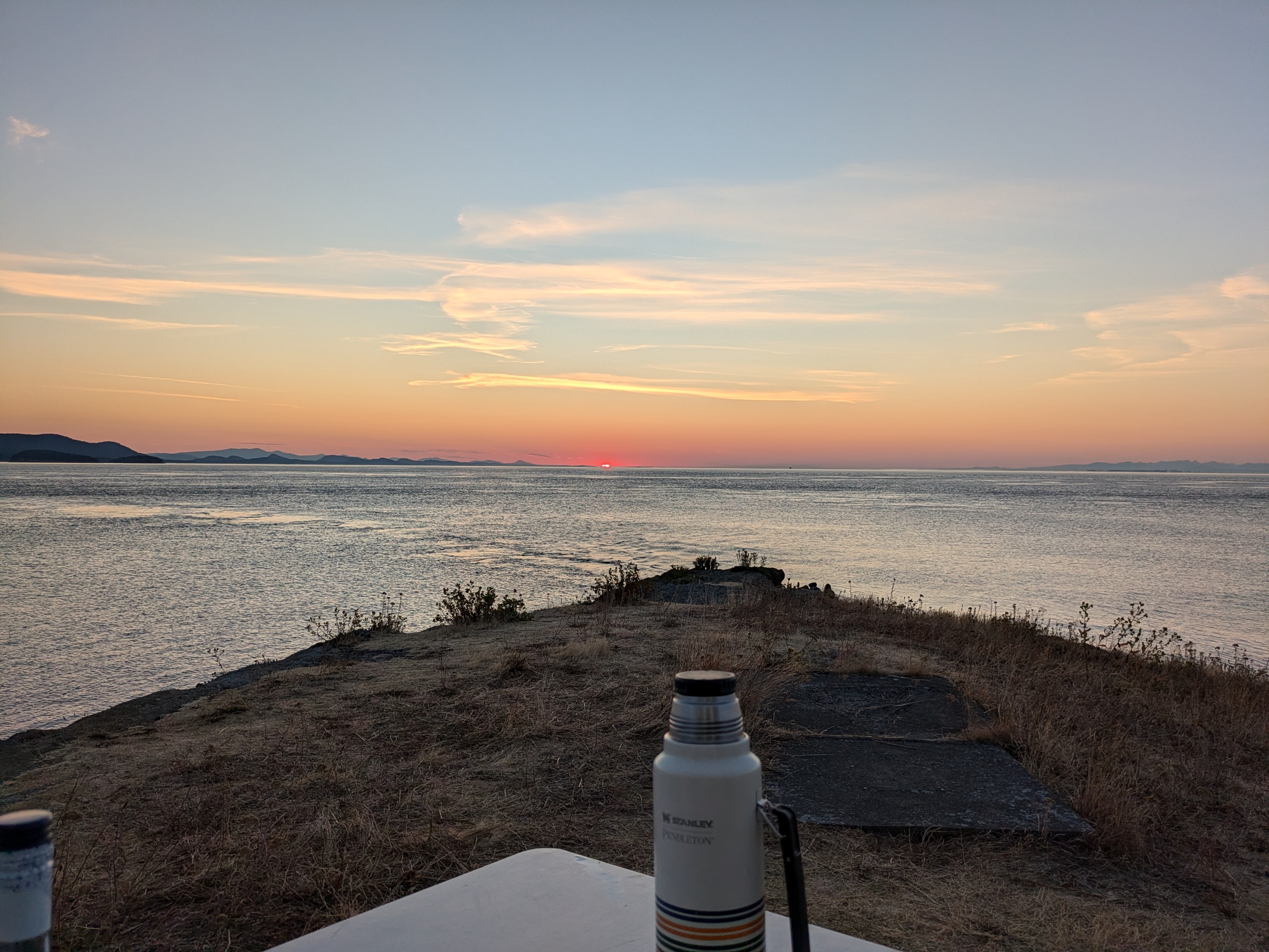
Patos Island
- Access: Beach
- Date Accessed: 7/22/25
- Size: 207 acres
- Population: 0
- Ownership: Bureau of Land Management (Leased by Washington State Parks)
- Development: Primitive campsites, composting toilets, historic lighthouse, hiking trail.
- Patos Island State Park Map
- Notes: Some say it is the most northwesterly point in the US, but Point Roberts is both more northerly and more westerly than Patos.
Patos Island Lighthouse
Patos Island Campsite
Active Cove
Alden Point
A friend of mine in Seattle volunteers as a Keeper of the Patos Light and had tried to get me out to the islands a few times before this summer, but schedules did not work out. I spent the light at his camp site while boat camping between Matia, Patos, and Stuart this summer. The light house is exactly what one would imagine a Pacific Northwest lighthouse to be, and the point by the lighthouse offers incredible sunsets with views of container ships, Point Roberts, and Canada. The US Coast Guard used to station men on Patos island. Now all that remains is a light house from 1908 and various ruins of docks and foundations.
Posey Island
- Access: Beach
- Date Accessed: 7/31/25
- Size: 1.1 acres
- Population: 0
- Ownership: Washington State Parks
- Development: Campsites and a latrine
- Posey Island State Park Map
- Notes: Only those arriving on human-powered watercraft can camp on Posey
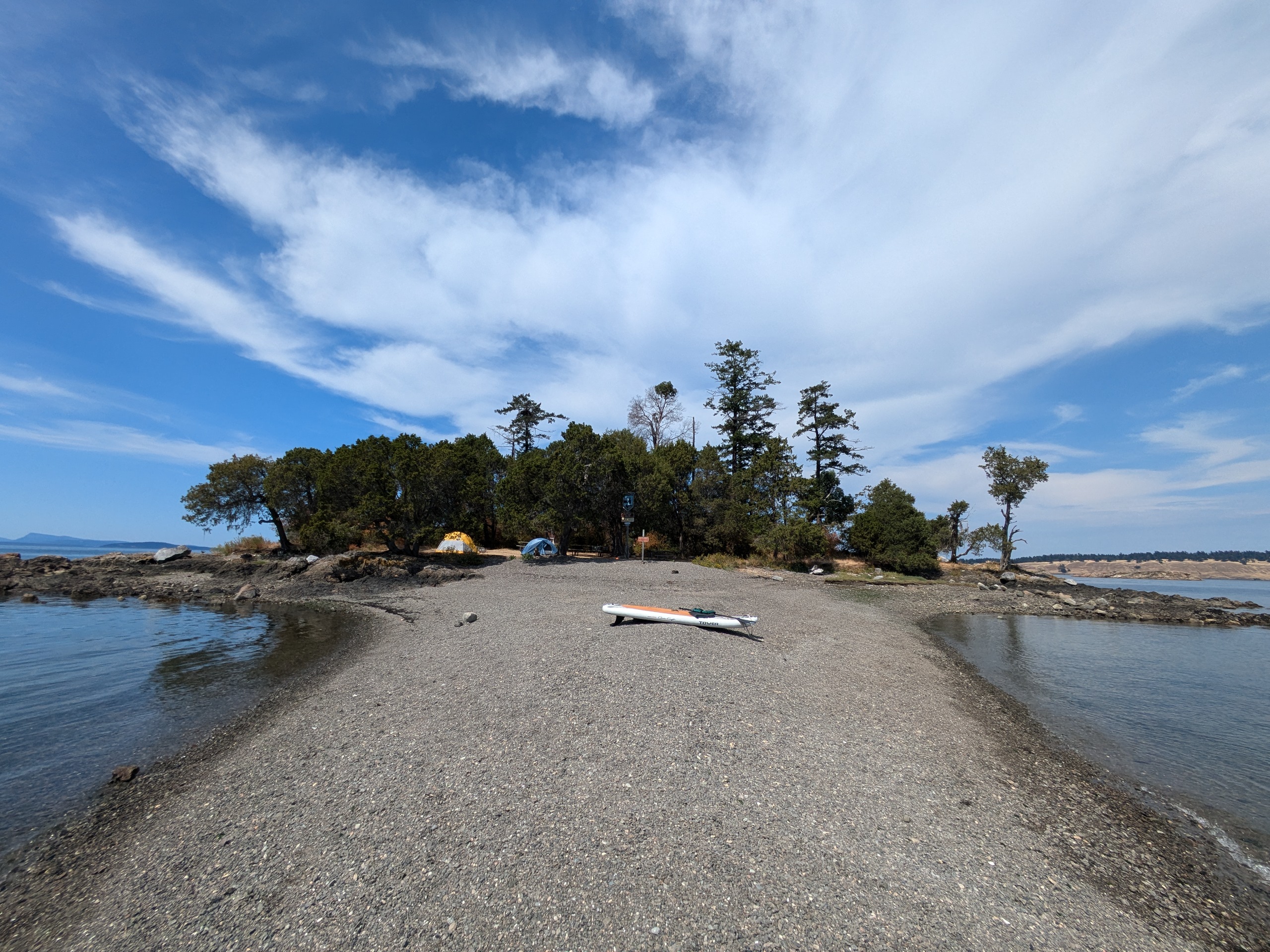
Posey Island Spit
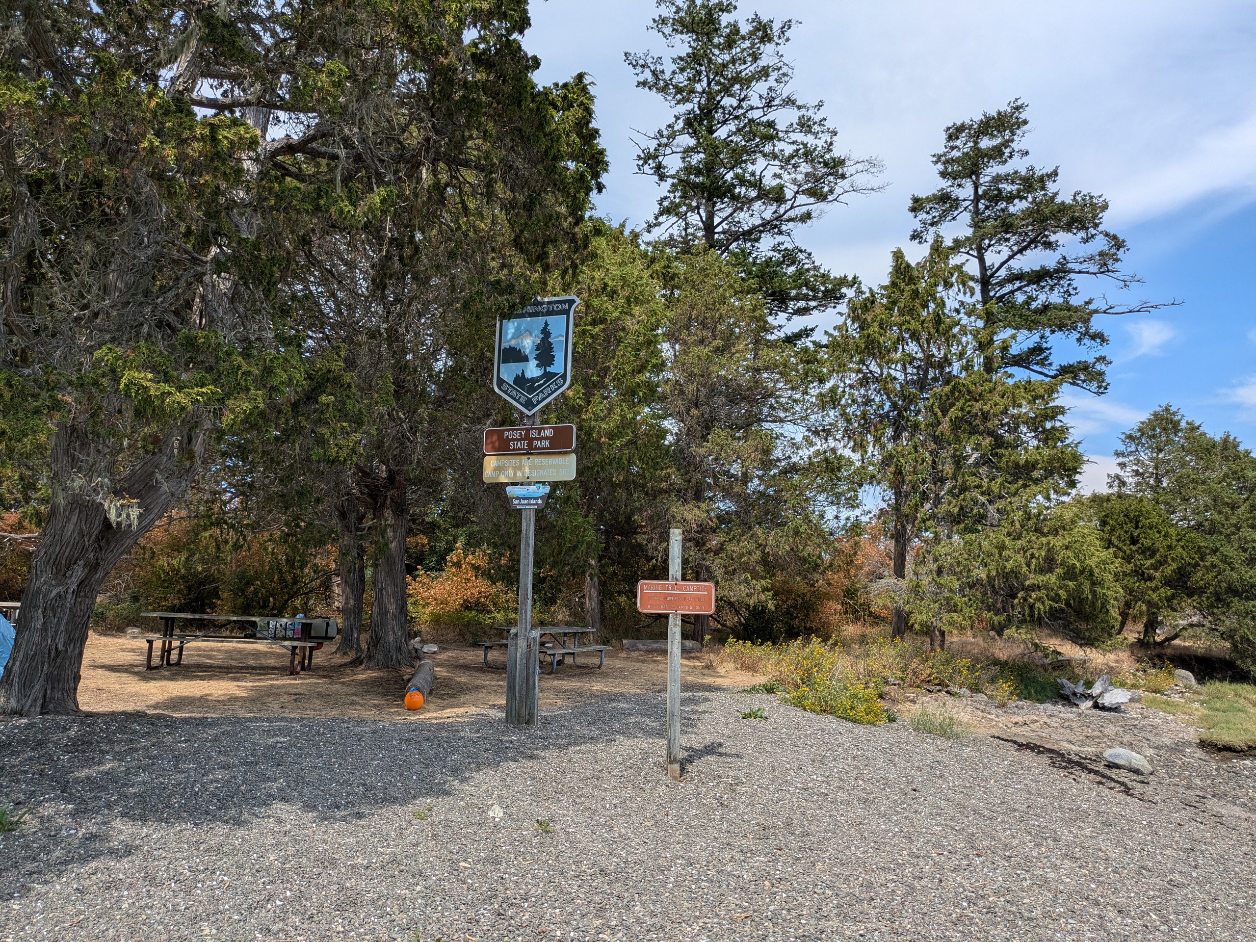
Posey Island Signs
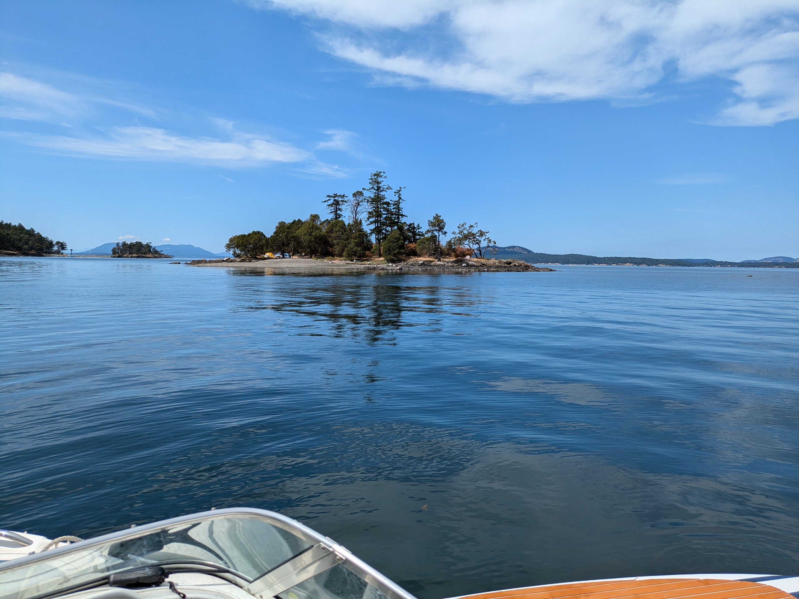
Posey Island
Posey Island Campsite
Posey is a small state park that would probably be lovely to stay at as a paddle camper, but it's too close to the noise and traffic of Roche harbor for it to be tempting to me as a camping destination.
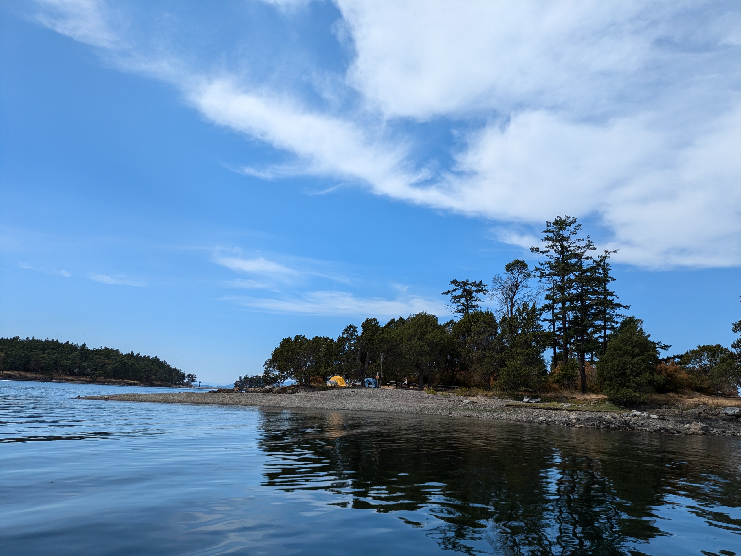
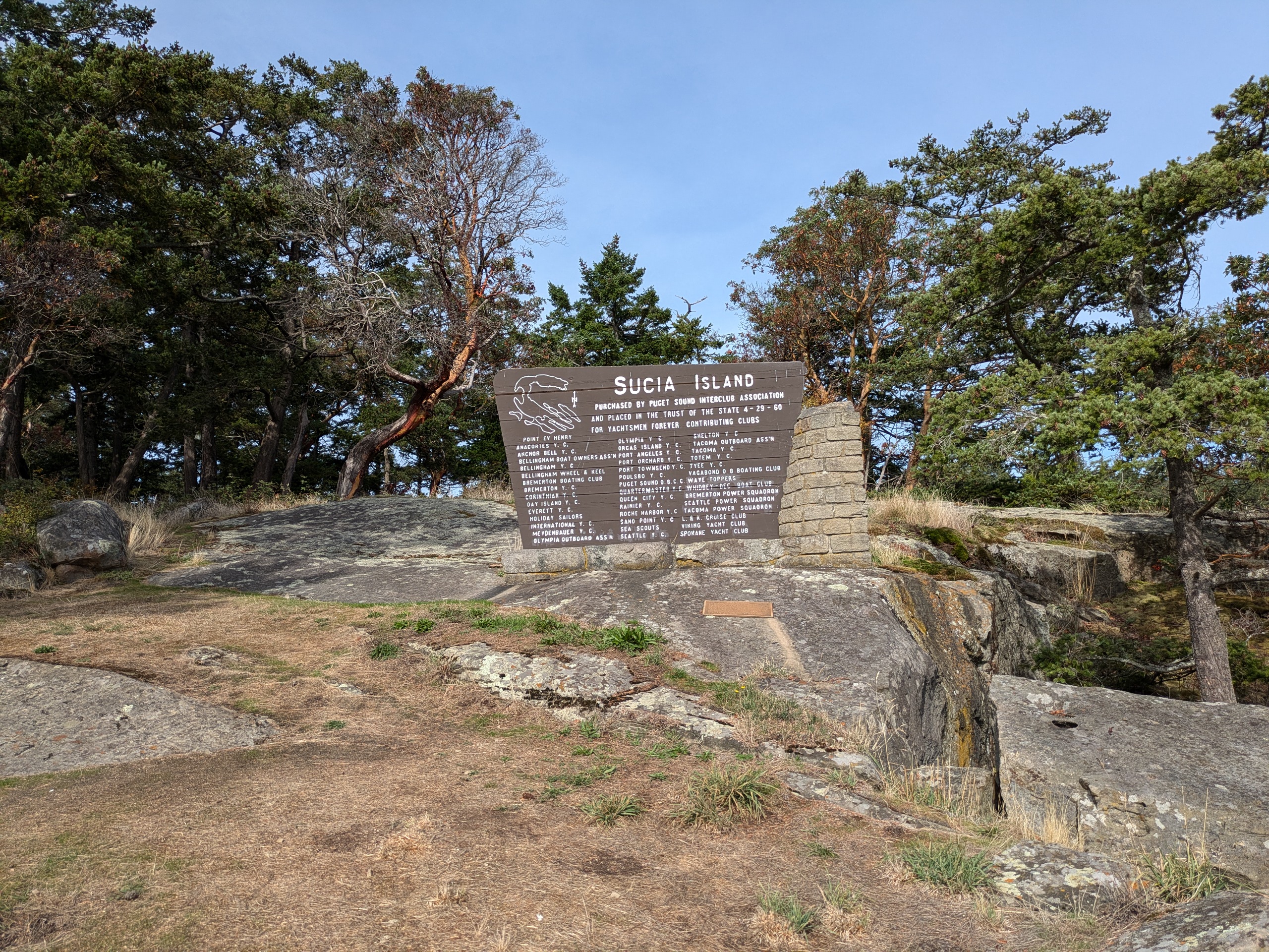
Sucia Island
- Access: Dock
- Date Accessed: 10/14/25
- Size: 814 acres
- Population: 1 (Summer Ranger)
- Ownership: Washington State Parks
- Development: State Park.
- Sucia Island State Park Map
- Notes: Sucia is most popular marine state park in the San Juan Islands.
Sign at the Dock in Fossil Bay
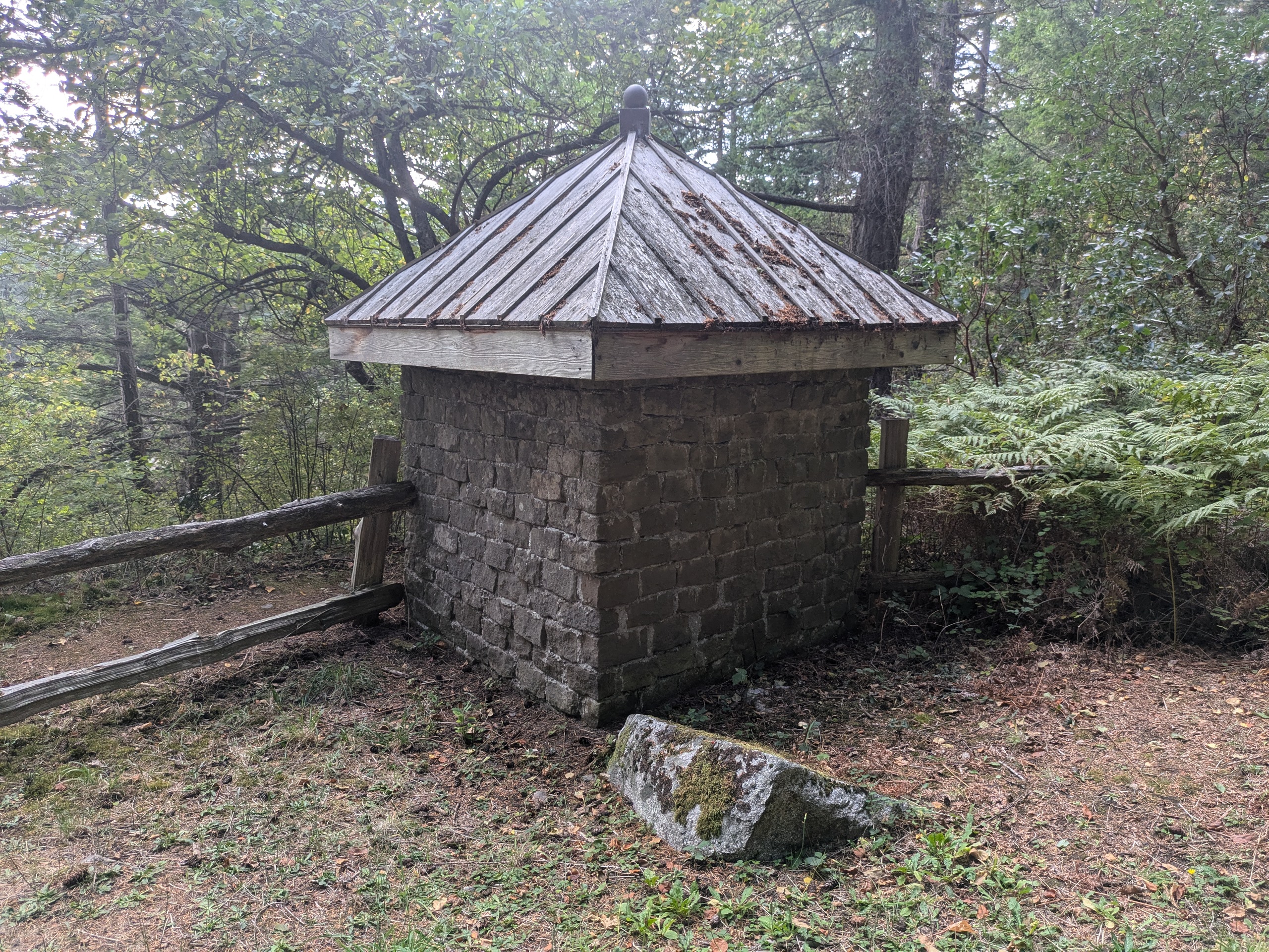
Strange Block Building Above Mudd Bay
Campsite At Echo Bay
While I did make it to all of the smaller islands surrounding Sucia that are open to the public this summer, I actually did not step foot on Sucia until October this year which was also the last day that I took my boat out. It is perhaps the most popular marine state park in San Juan County — too popular. There were many loud children and more people on this island when I visited last year than any other non-ferry-served island in the San Juans. It had calmed down quite a bit by October this year.
Sucia Island from Kenmore Air Flight
The sandstone for the tower on Mount Constitution was mined somewhere on Sucia, and the only vertibrate dinosaur so far found in Washington was discovered on Sucia: Suciasaurus rex
Little Sucia Island
- Access: Beach
- Date Accessed: 7/22/25
- Size: 14 acres
- Population: 0
- Ownership: Washington State Parks
- Development: None.
- Sucia Island State Park Map
- Notes: Unlike Little Patos, Little Sucia is accessible to the public.
Boat Tied at Shore
Rocks Extending to the West
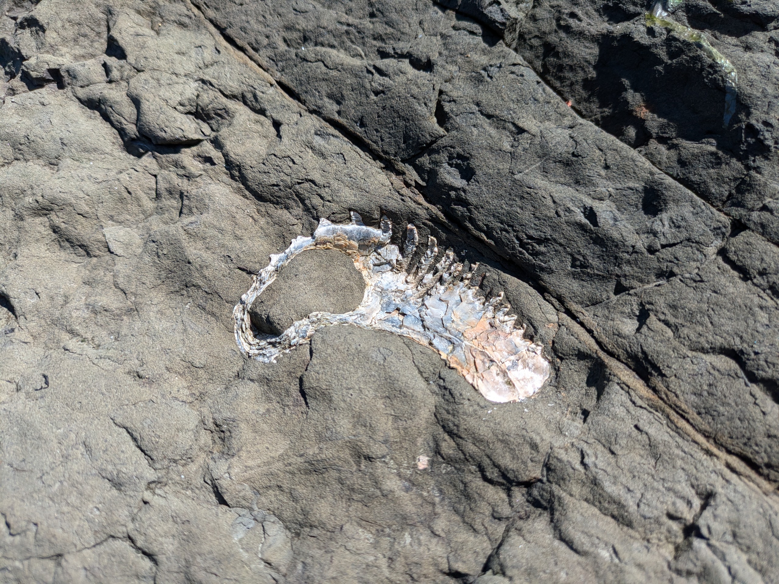
Fossil
South Shore
The center of the island is quite narrow. I walked a loop across a trail at the center around the west portion of the island. Fossils can be seen in the erroding cliff faces.
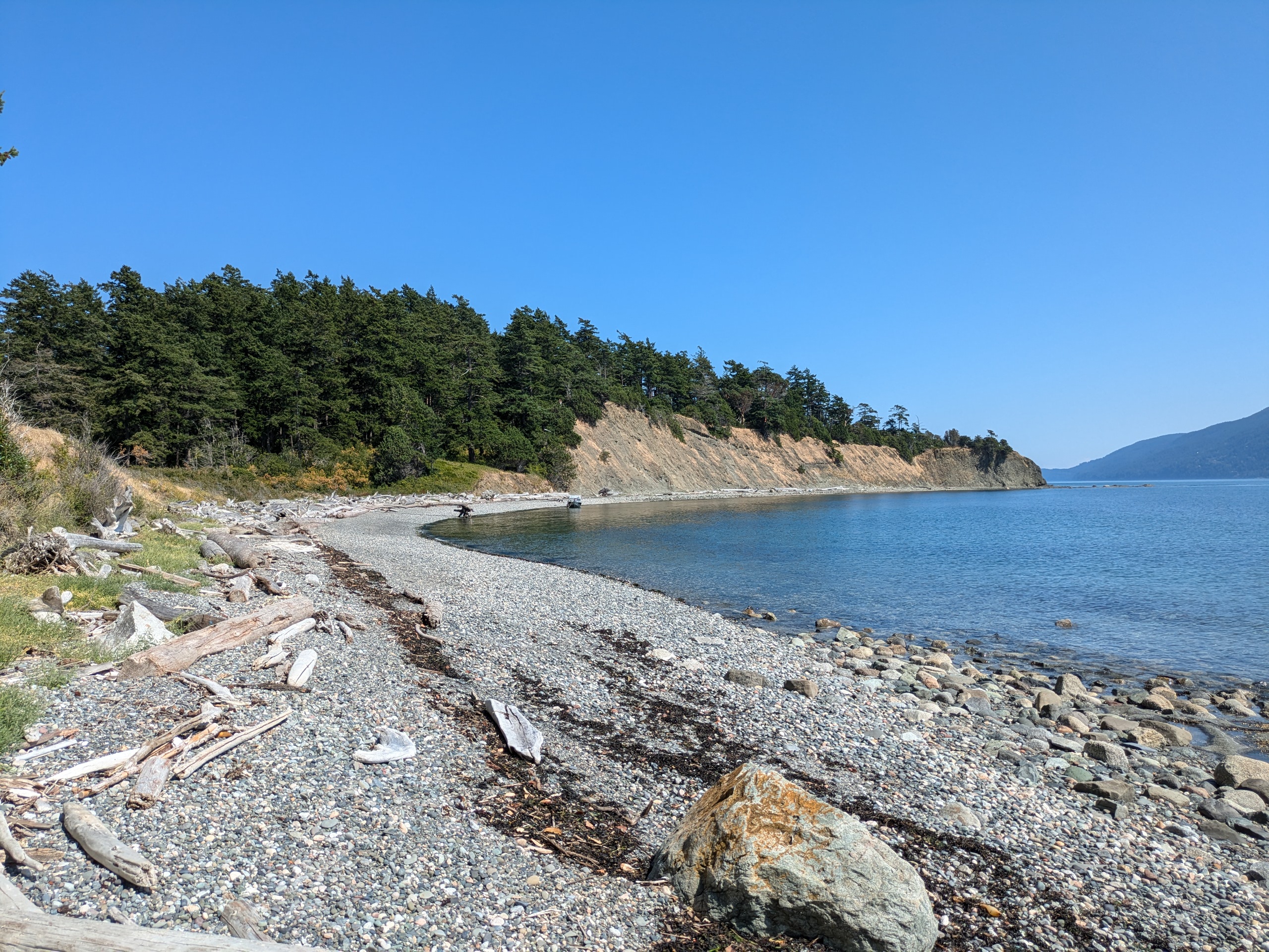
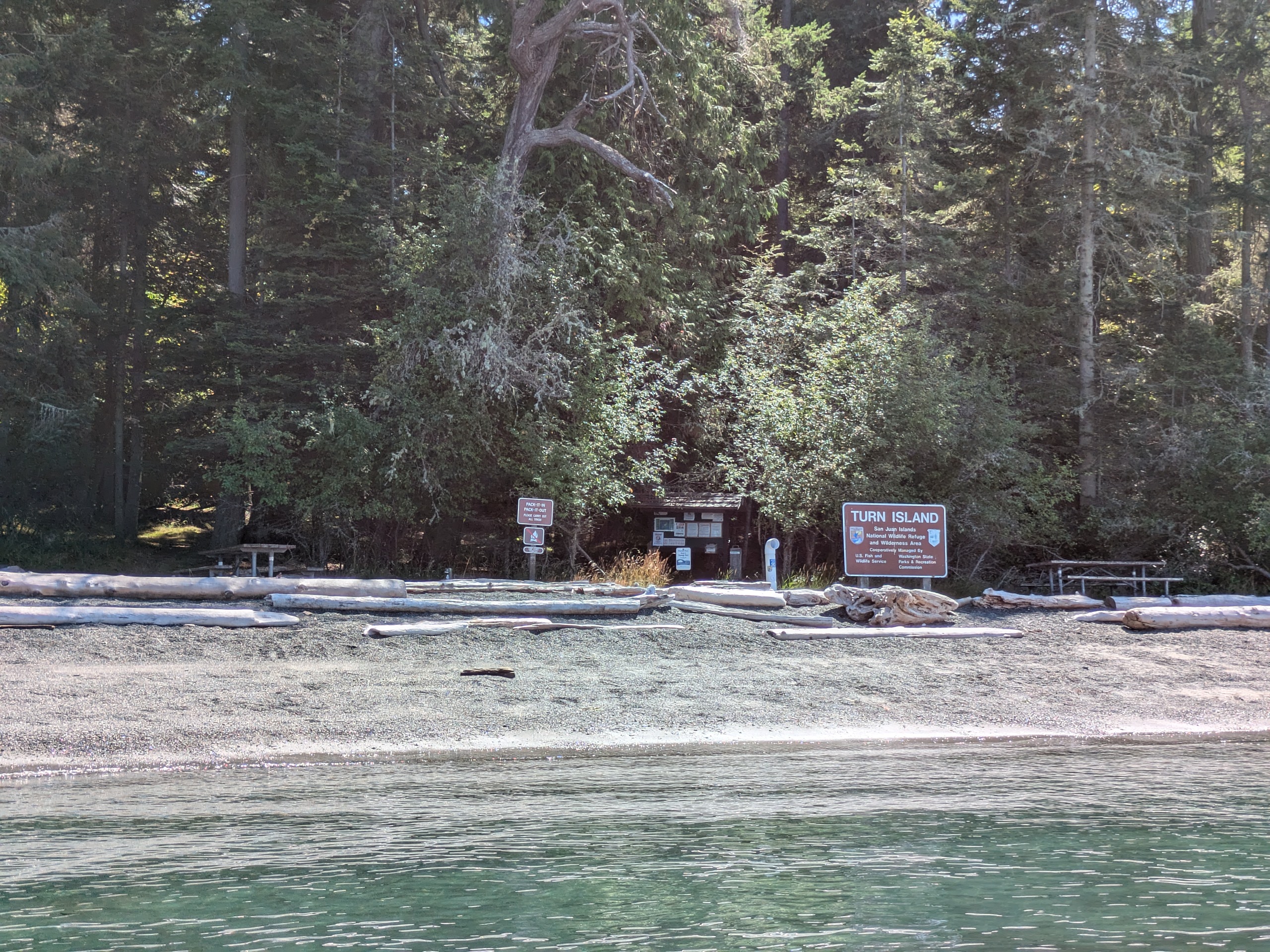
Turn Island
- Access: Beach
- Date Accessed: 8/1/25
- Size: 35 acres
- Population: 0
- Ownership: San Juan Islands National Wildlife Refuge (Leased by Washington State Parks)
- Development: Primitive campsites, composting toilets, hiking trail.
- Notes: There is no official map of this state park.
Turn Island Beach
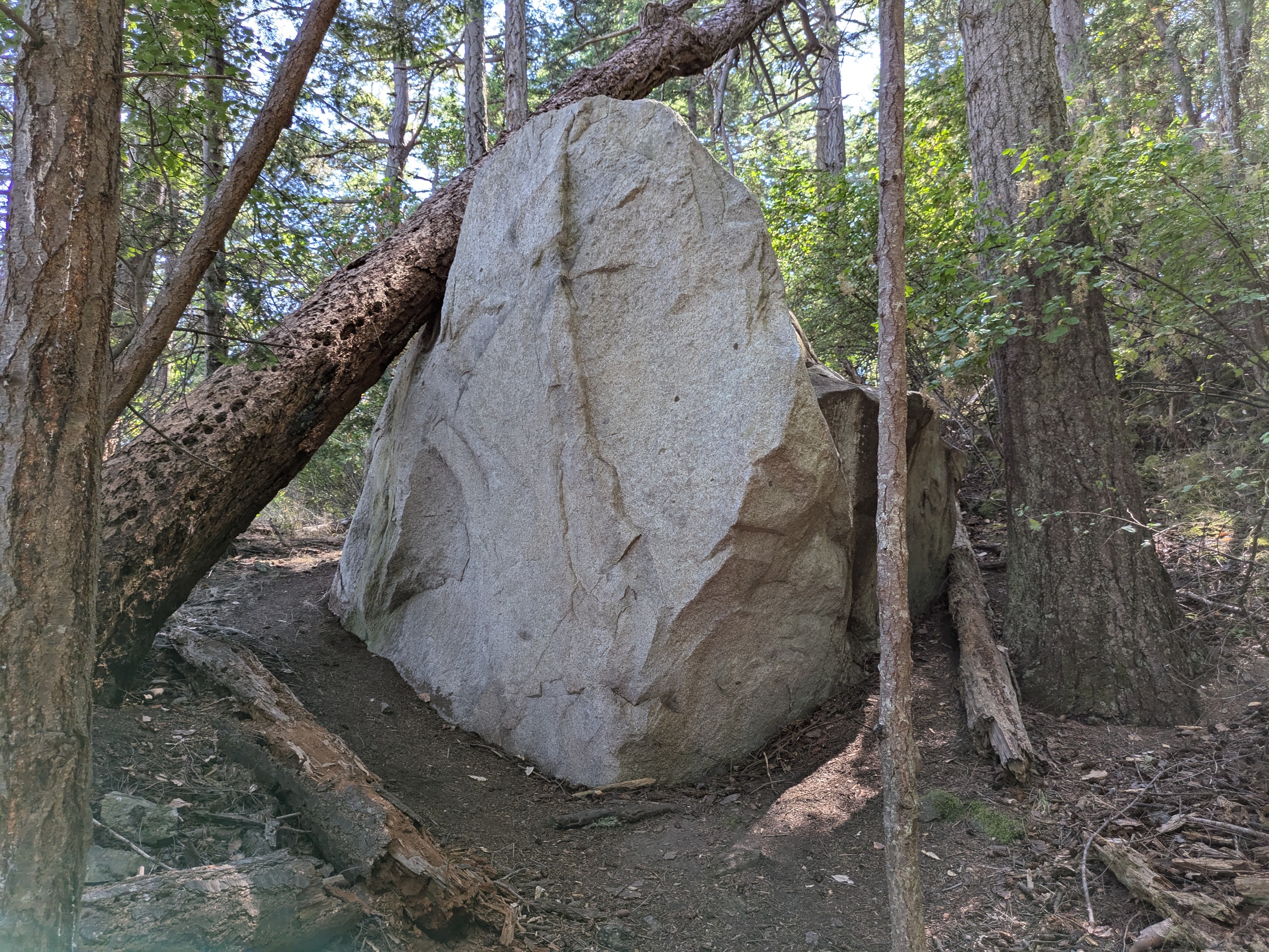
Turn Island Glacial Erratic
Boat at Anchor
Turn Island Trees
Turn Island is located just east of Friday Harbor and is a popular kayak destination with a loop trail and several campsites. Washington State Parks applied to receive the island from the US Lighthouse Service after it was determined that the island would never be used for a lighthouse, but the US Fish and Wildlife Service also desired the island to protect migratory birds. From the history of the park: "On June 19, 1959, the USFWS and the WSPRC signed a Memorandum of Understanding outlining how the WSPRC would manage recreational use of the island, while USFWS would retain responsibility for protecting the island's unique resources and wildlife."
San Juan Islands National Monument
At its inception in 2013, the lands of this national monument were generally open to the public under the general 'have fun shooting' rules of the Bureau of Land Management (BLM). Years of deliberation followed, and in 2023 a Resource Management Plan was finally certified which significantly restricted public access. Draft Resource Management Plans, for example, permitted camping at McConnell Rocks, but the final plan prohibits access completely. An advisory committee created for consultation in the creation of the Resource Management Plan was disbanded for having served its purpose in December 2023, and a new committee was formed in 2024 which was again disbanded as part of the 'Department of Government Efficiency' cuts of the second Trump administration in 2025. Currently the monument has two staff members who are reliant on Washington State Parks boats to administer the islands.
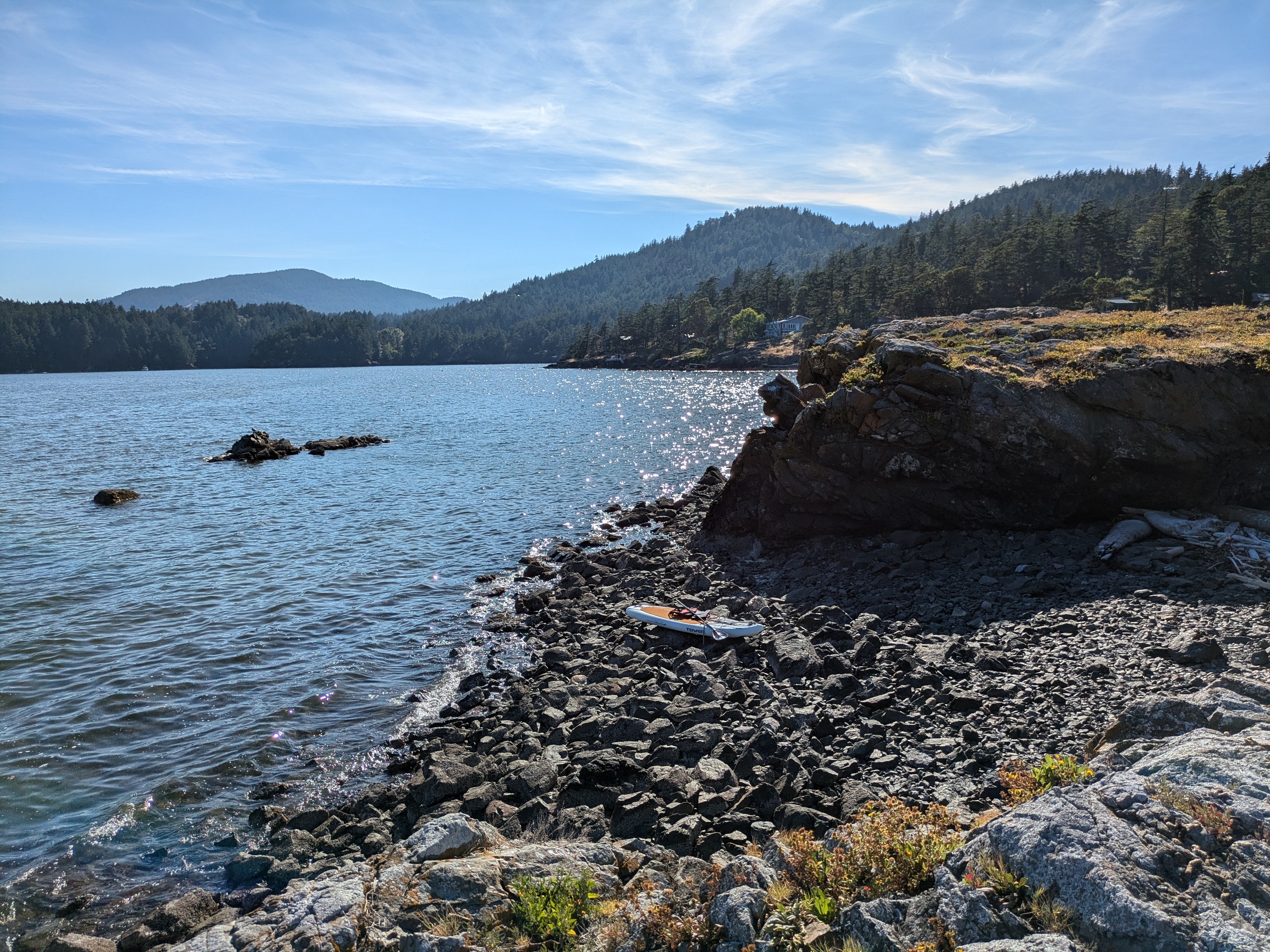
Freeman Island
- Access: Rocky Beach
- Date Accessed: 7/30/25
- Size: 0.9 acres
- Population: 0
- Development: None
- Notes: This island is quite close to YMCA camp Orkila.
Freeman Island Rocky Shore
Freeman Island from the Water
Seabirds Nesting on Freeman Island
Sunset View from Freeman Island
Freeman is a rather tall island for its size. At its central groin, its obvious that it is undergoing active erosion and that it may separate into two prominences in only a few decades. The westernmost portion of the island is bar rock covered in bird shit, but the areas under trees are pleasant. I brought a crab that I had cooked the previous day and ate it with some warmed butter under the westernmost tree.
Freemand is the only island that I accessed by canoe. Paddling a canoe on the ocean is a generally bad idea, but it was a particularly calm day and Freeman is close to West Beach resort where I launched the canoe from with my partner.
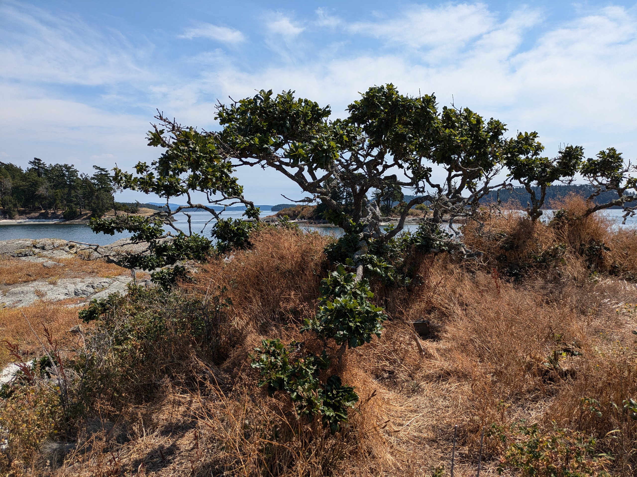
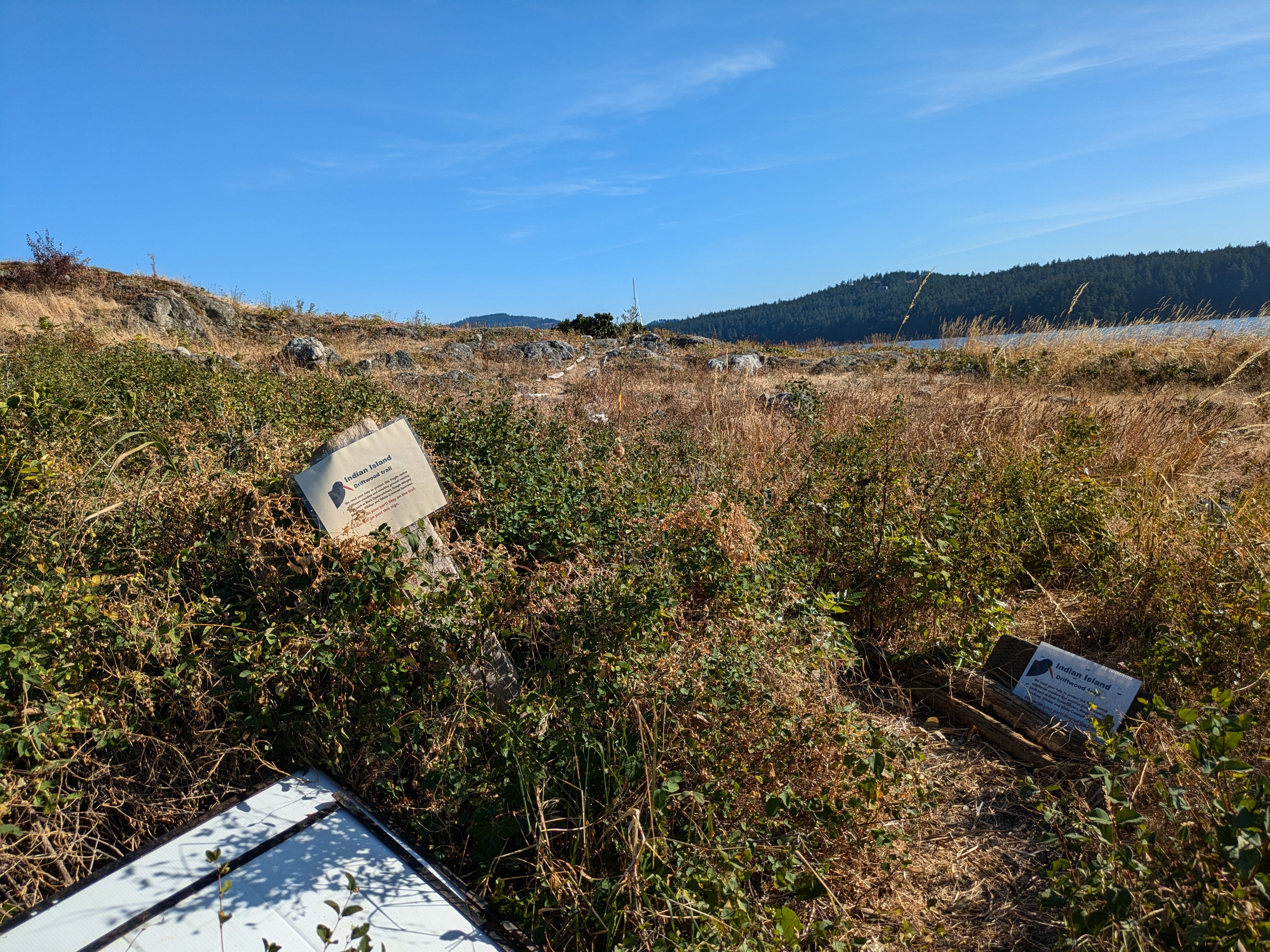
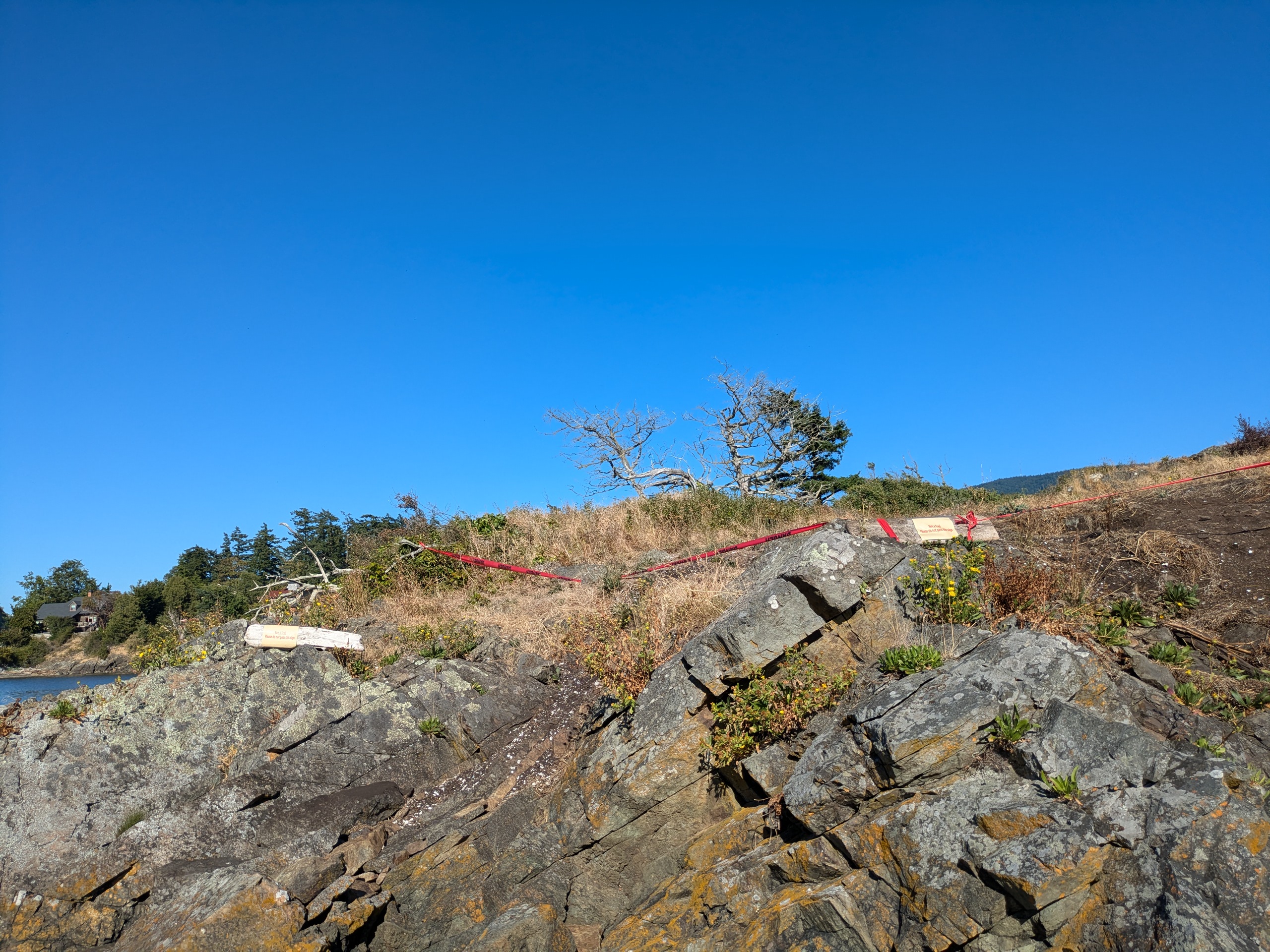
Indian Island
- Access: Tombolo at the north end connecting the island to Orcas at minus tides. Rocky beach to the south.
- Date Accessed: 7/28/25
- Size: 1.31 acres
- Population: 0
- Development: Many signs requesting visitors to not visit the top of the island.
- Notes: On summer minus tides, this island is accessible by foot from Eastsound.
East Sound Over Indian Island
Indian Island South Shore
Indian Island North Signs
Indian Island Danger Tape
In the past this island was known as Jap Island, Victory Island, and Treasure Island. A yearly report on the ecology of this island and the surrounding area is produced by Kwait. In the summer, docents of Kwait inform visitors about the ecosystem of the island and ask that the upland portions of the island not be accessed to protect nesting shorebirds. To that end, there are many signs surrounding the island and, int he summer of 2025, some rather ugly caution tape. It is unclear if these signs are endorsed by the BLM which sets, in its resource management plan, a "visitor expectation" that one may "[Enjoy] an undeveloped visitor experience with no or minimal signs and structures." I emailed BLM for clarification and, while I did not receive a reply, the danger tape was removed the next week.
Because this island is connected to shore by a tidally exposed tombolo, it is technically a "tied island." There are other tied islands in the county, but this is the only one with a name and the only one listed on my map.
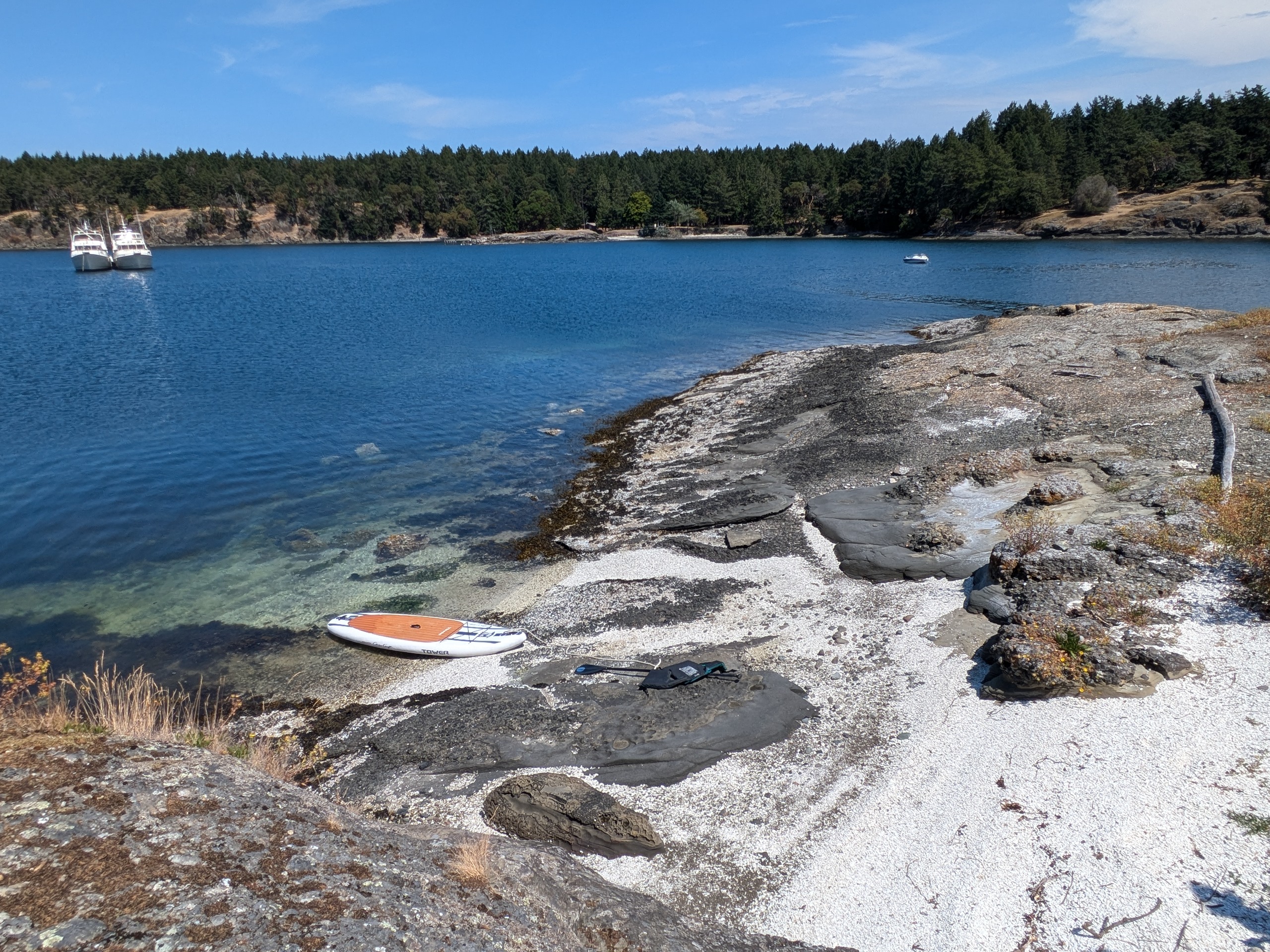
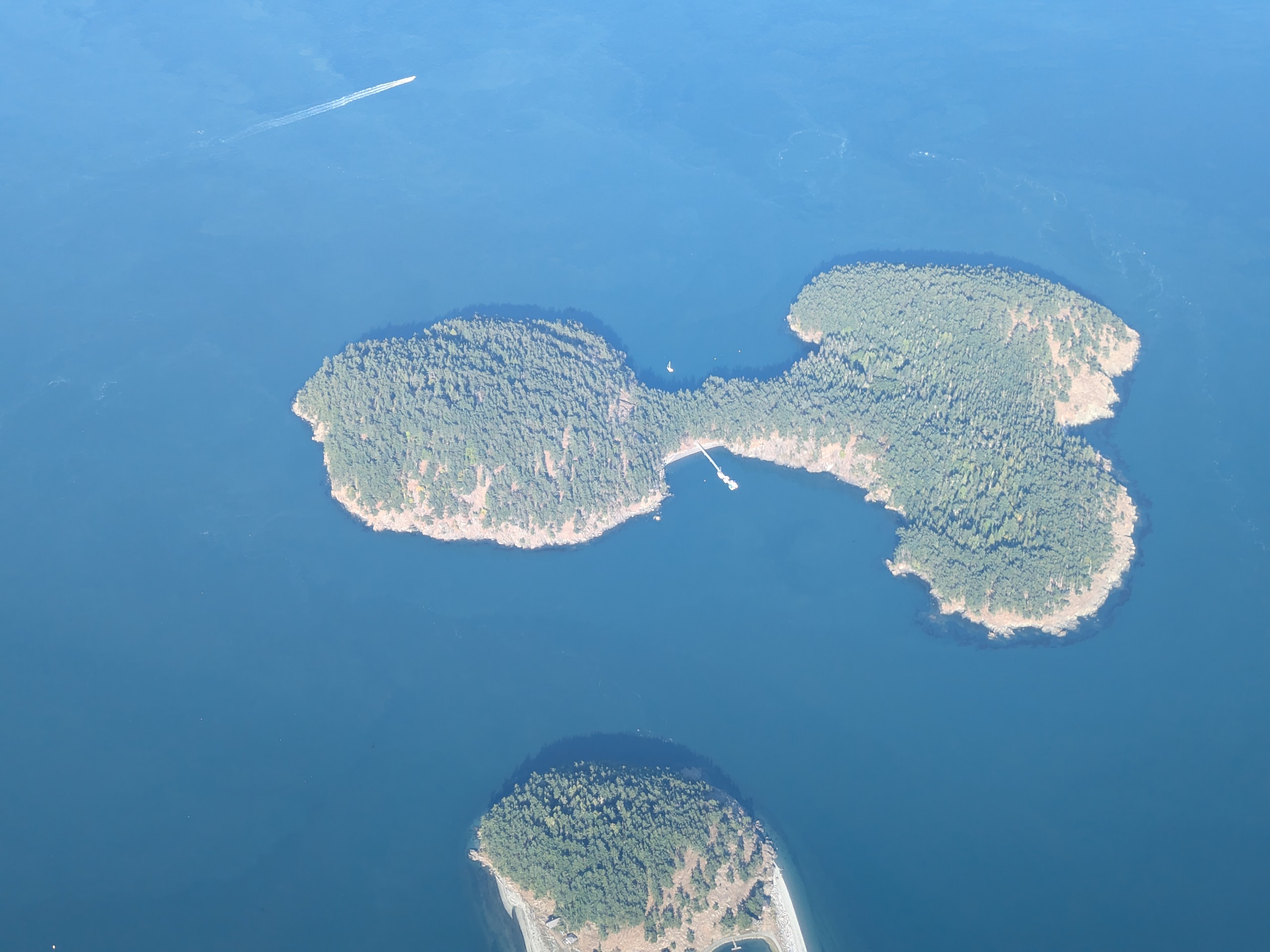
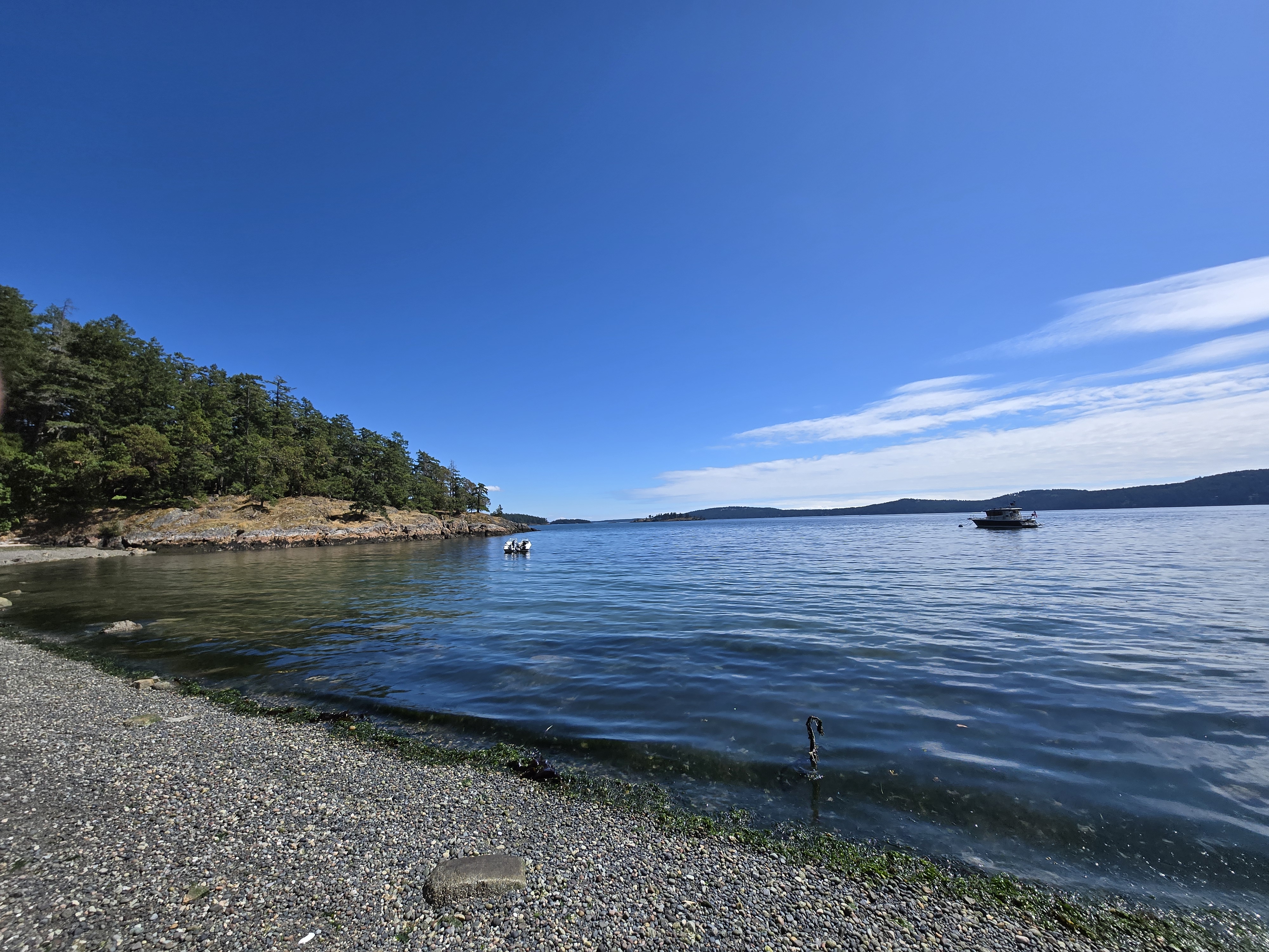
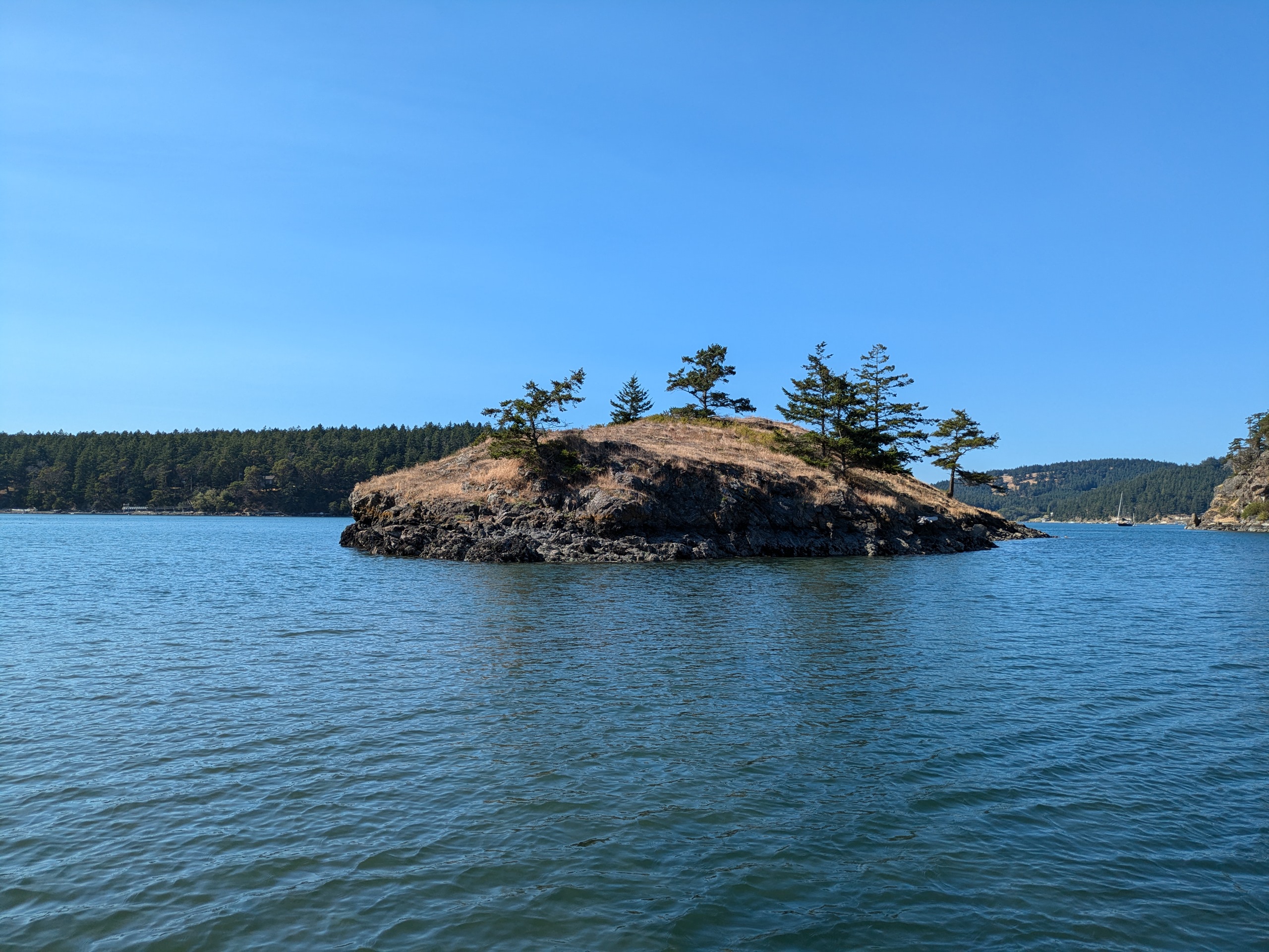
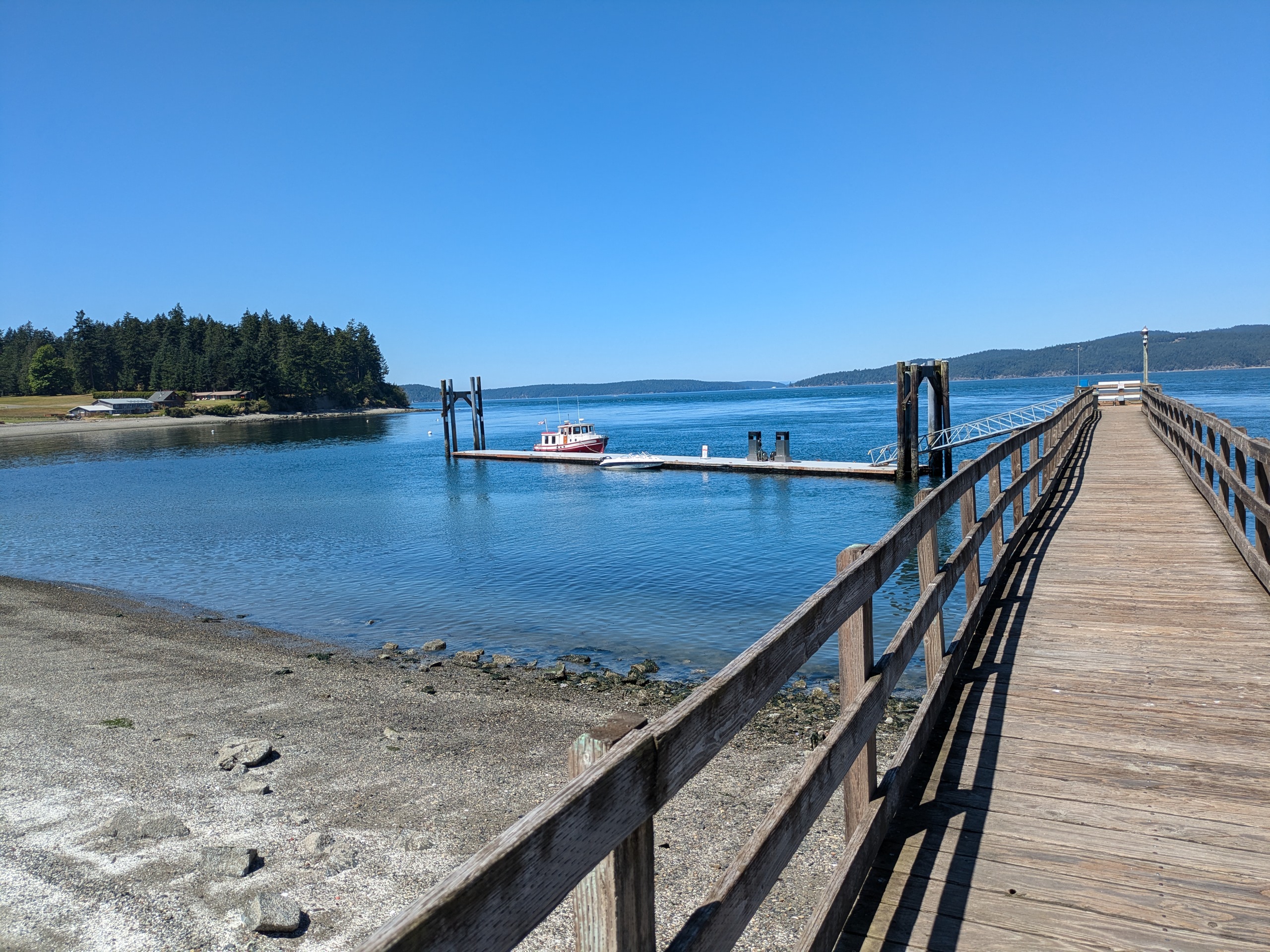
Reeds Bay Island
- Access: Rocky Shore
- Date Accessed: 7/29/25
- Size: 1.1 acres
- Population: 0
- Development: Foundation of WWI era Kelp Facility.
- Notes: Very close to Kimball preserve.
Reeds Bay Island View from Kimball Preserve
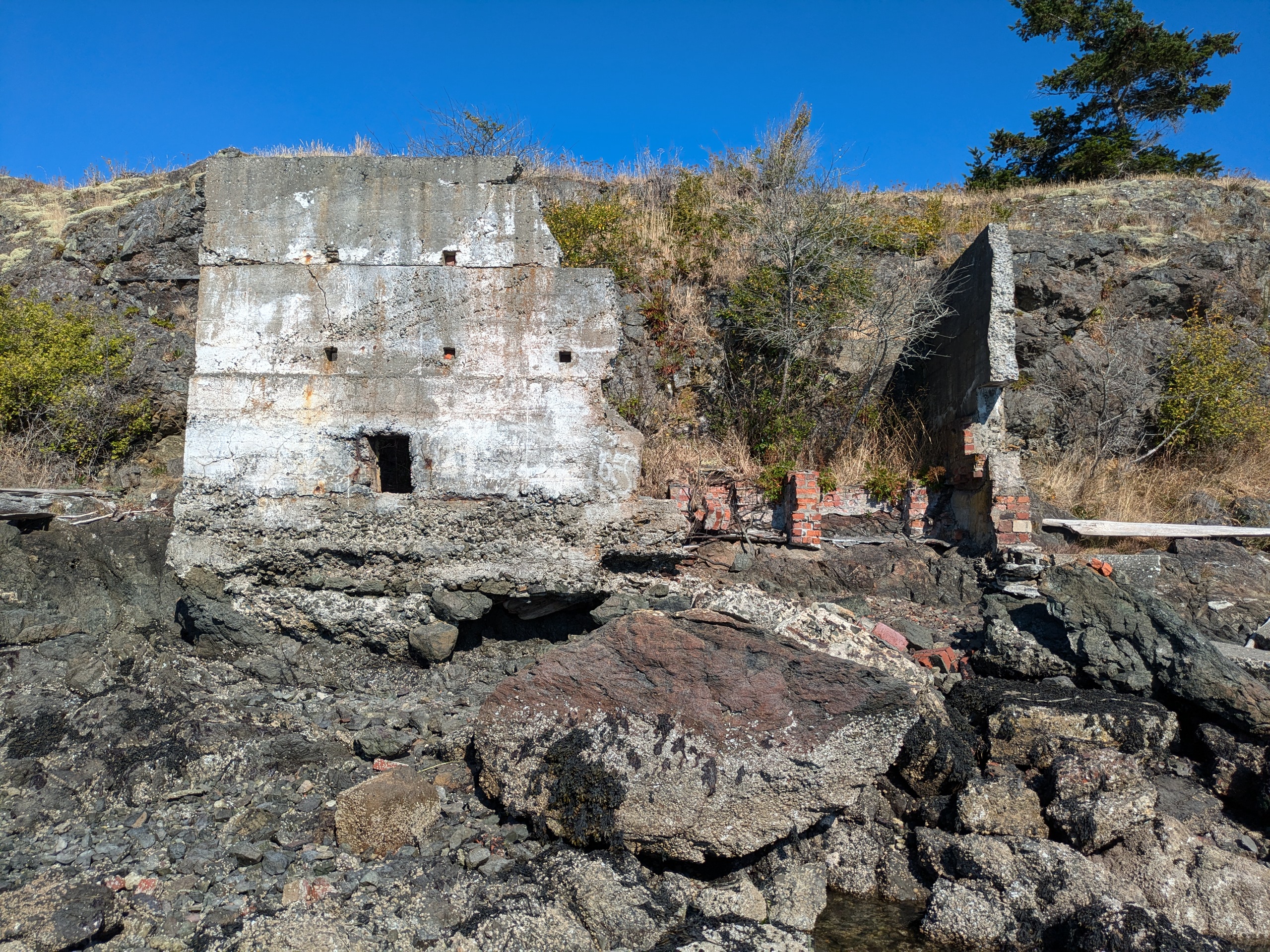
WWI Kelp Processing Facility
Kimball Preserve from Reeds Bay Island
Top View of Ruin
In BLM documentation, this island appears as "Reads Bay Island." I have spelled it "Reeds Bay Island" since 'Reads' is actually a misspelling which has recently been corrected for the bay that it is in. Kelp
Skull Island
- Access: Sandy beach on the south end
- Date Accessed: 7/17/25
- Size: 2.7 acres
- Population: 0
- Development: None. No signs.
- Notes: I was greeted by a pile of bones right above the sandy beach to the south.
Skull Island
Skull Island South Beach from Water
Skull Island South Beach
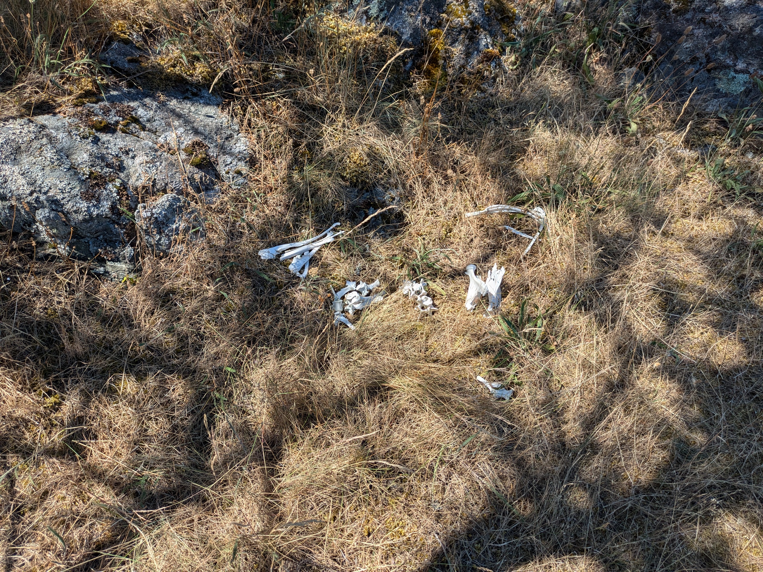
Bones
Boat at Anchor North of Island
Driftwood Shelter
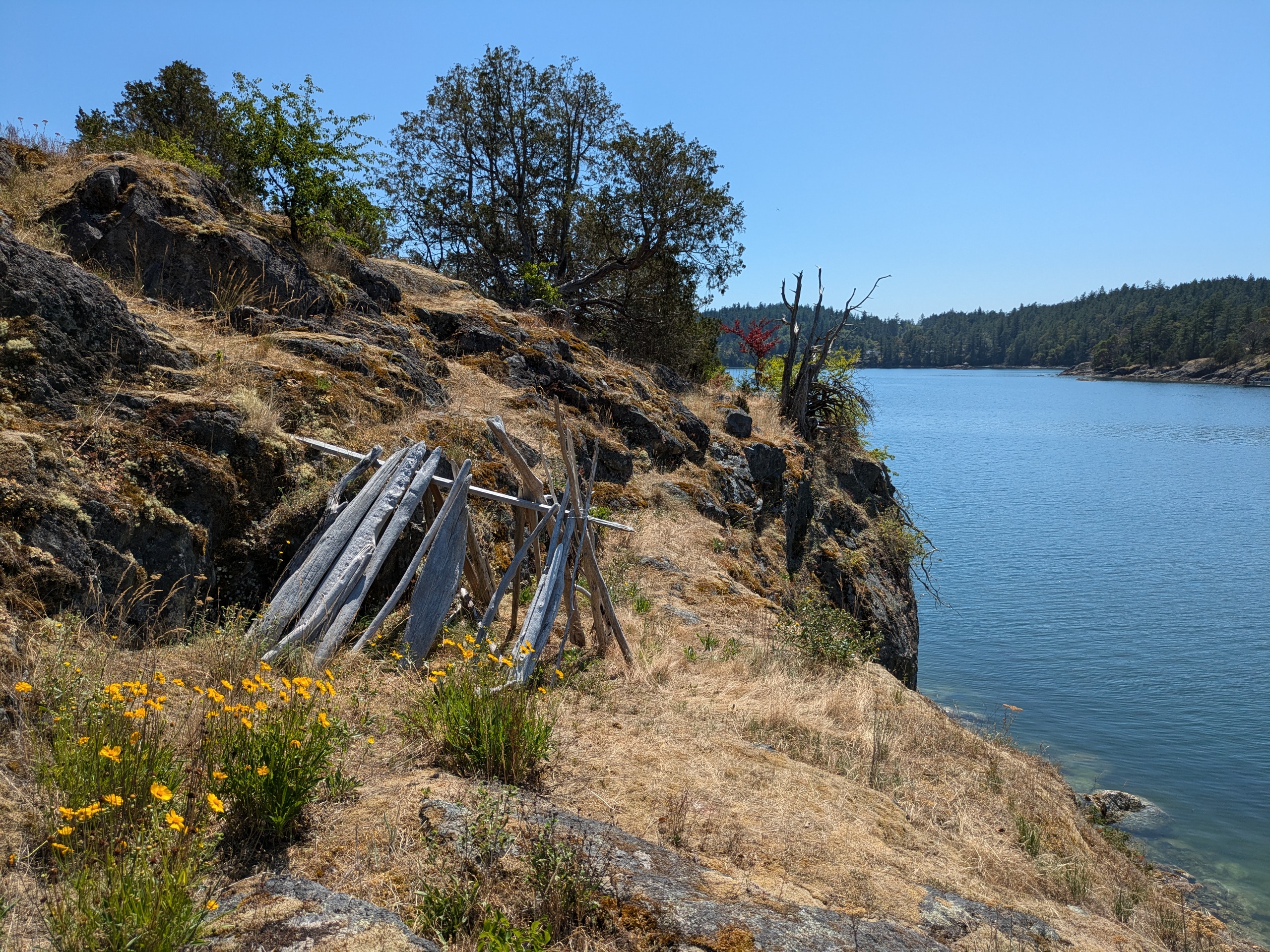
Visitors are often surprised to hear about a 'skull' island in 'massacre' bay. These place names date back to the days of the savage raids of Haida indians upon the Lummi indians. Early settlers found evidence of past depredations and named the geographic features accordingly. There are several flat areas on the top that would serve as decent camp sites if it were permitted. There was a driftwood shelter on the northwest bluffs.
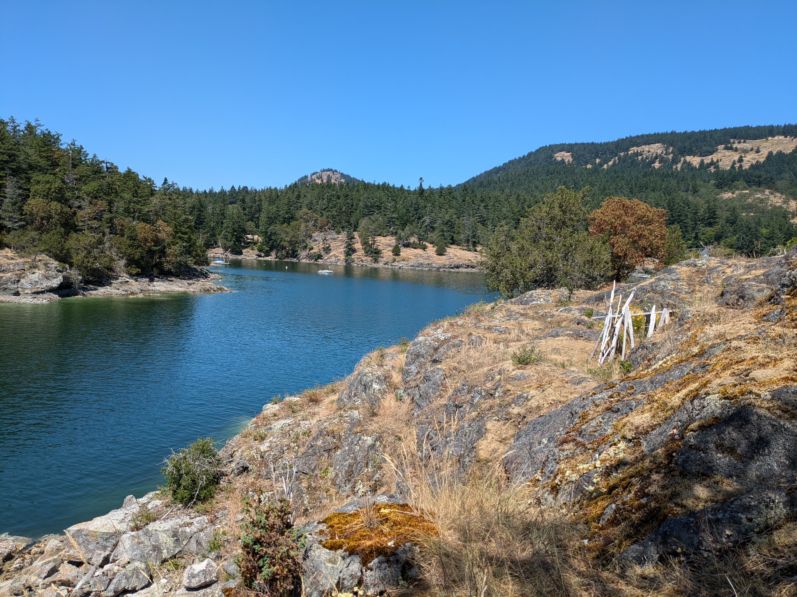
Victim Island
- Access: Sandy beach on the south end.
- Date Accessed: 7/17/25
- Size: 3.4 acres
- Population: 0
- Date Accessed:
- Development: None. No signs.
- Notes: Name also references a darker past.
Victim Island
Victim Island View East
Victim Island View West
Boat at Anchor
There are several nice picnic areas on top of the island with views to the west of Westsound Marina and views to the east of Camp Four Winds.
Privately Owned Islands with Public Access
I don't love the name of this section, but I can't think of anything better that isn't even more wordy. This category includes entirely privately owned islands that permit public access as well as islands that are mostly private with one or more publically accessable parcels.
Blakely Island
- Access: Private marina.
- Date Accessed: 7/9/25
- Size: 4430 acres
- Population: 41
- Ownership: Mixed
- Development: Forestry, residential, and general store.
- Notes: Privately Owned Island doing it right.
Blakely Island Fuel Dock
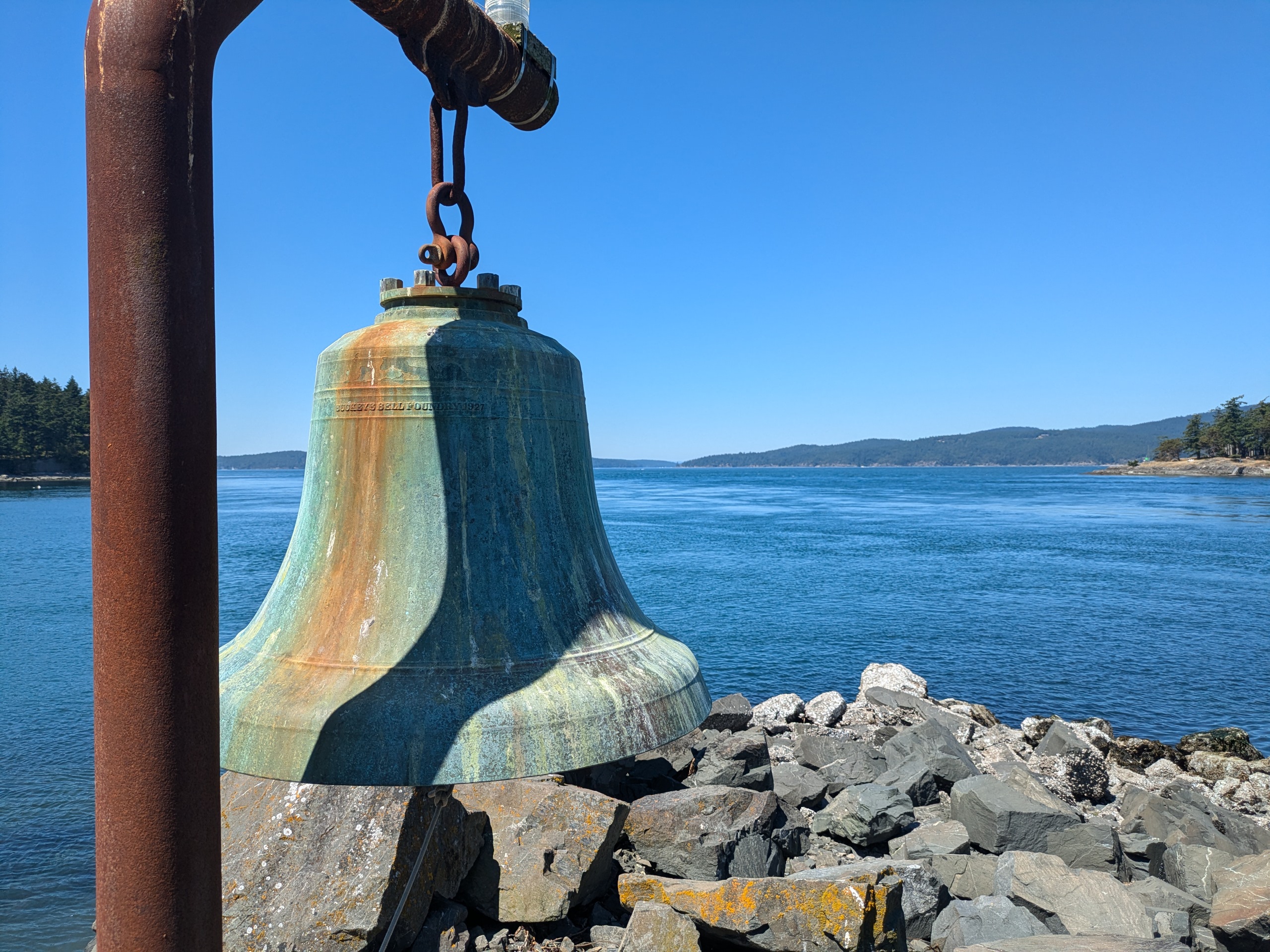
Blakely Island Bell
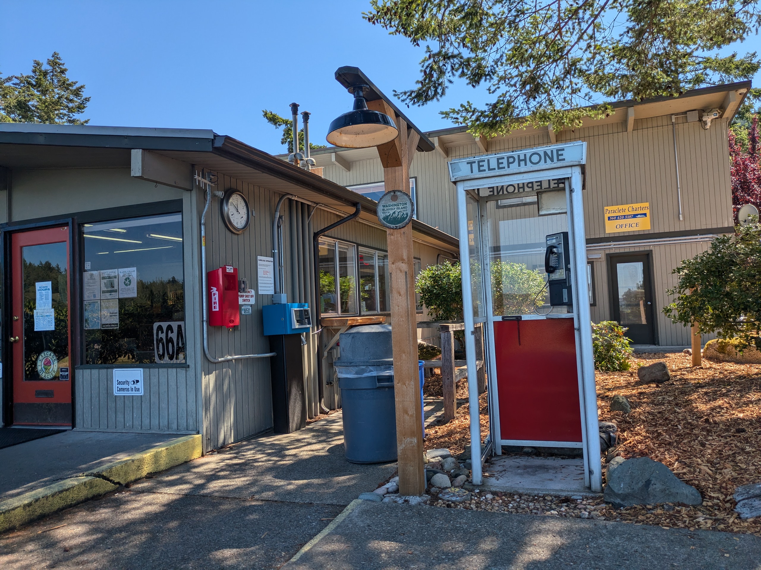
Blakely Island Phone Booth
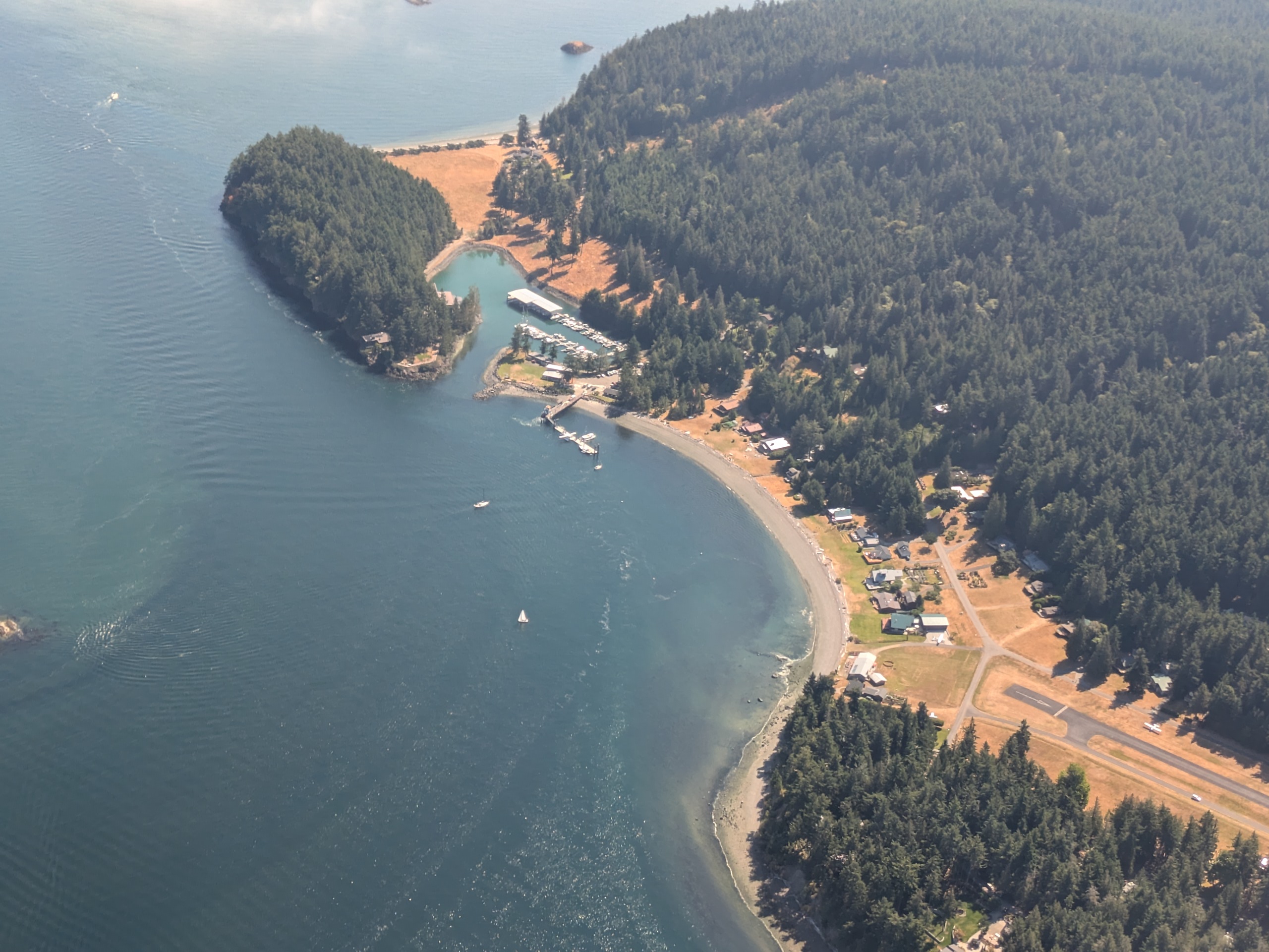
Blakely Island Marina and Airport
The majority of the population of Blakely is concentrated at the north end near the airstrip and marina. The rest of the island is mostly undeveloped (and accessible only to residents) with large areas owned by Seattle Pacific University.
Henry Island
- Access: Henry Island Preserve Beach.
- Date Accessed: 7/31/25
- Size: 1020 acres
- Population: 19
- Ownership: Mixed
- Development: Residential and nature preserve.
Henry Island East Shore
Henry Island Preserve Trail
Henry Island South Sandbar Shore
Estuarial Creek
Yellow Island
- Access: County dock, Kimball Preserve beach.
- Date Accessed: 7/10/25
- Size: 11 acres
- Population: 1 (seasonal)
- Ownership: The Nature Conservancy
- Development: Two cabins.
Yellow Island Beach
Boat at Anchor
Yellow Island Caretaker's Cabin
Camas Flowers Cultivated by Indigenous Tribes
Landing is permitted on Yellow Island by small groups. There are trails around the island with some portions of the island off limits during seal pup season. The grass and wildflowers of the island are unusual for the San Juans and are the result of centuries of managed burns by native people who cultivted Camas on the island and by the Nature Conservancy which still burns the island periodically to this day.
Johns Island
- Access: Rocky Beach at State Parks Property
- Date Accessed: 7/31/25
- Size: 224 acres
- Population: 5
- Ownership: Mixed
- Development: Offgrid cabins and a youth camp.
- Notes: This island is best known for camp Nor'Wester and its many tipis.
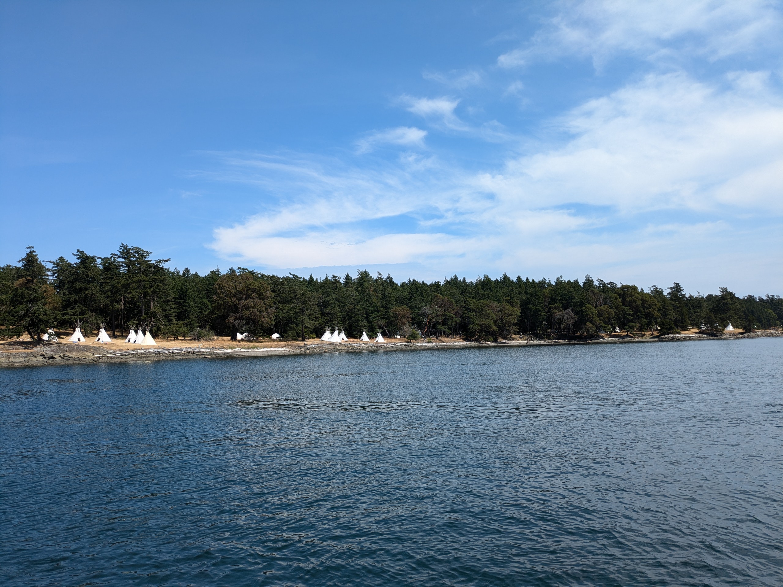
Tipis of Camp Nor'Wester
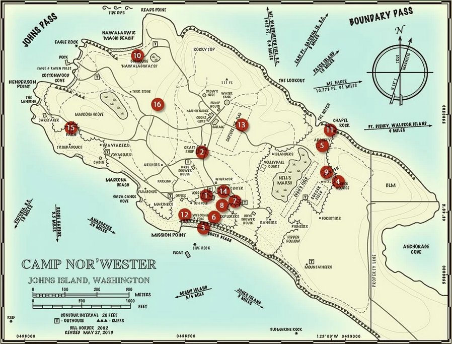
Camp Nor'Wester Map
High Bluff Shorline
Rocky Landing Location
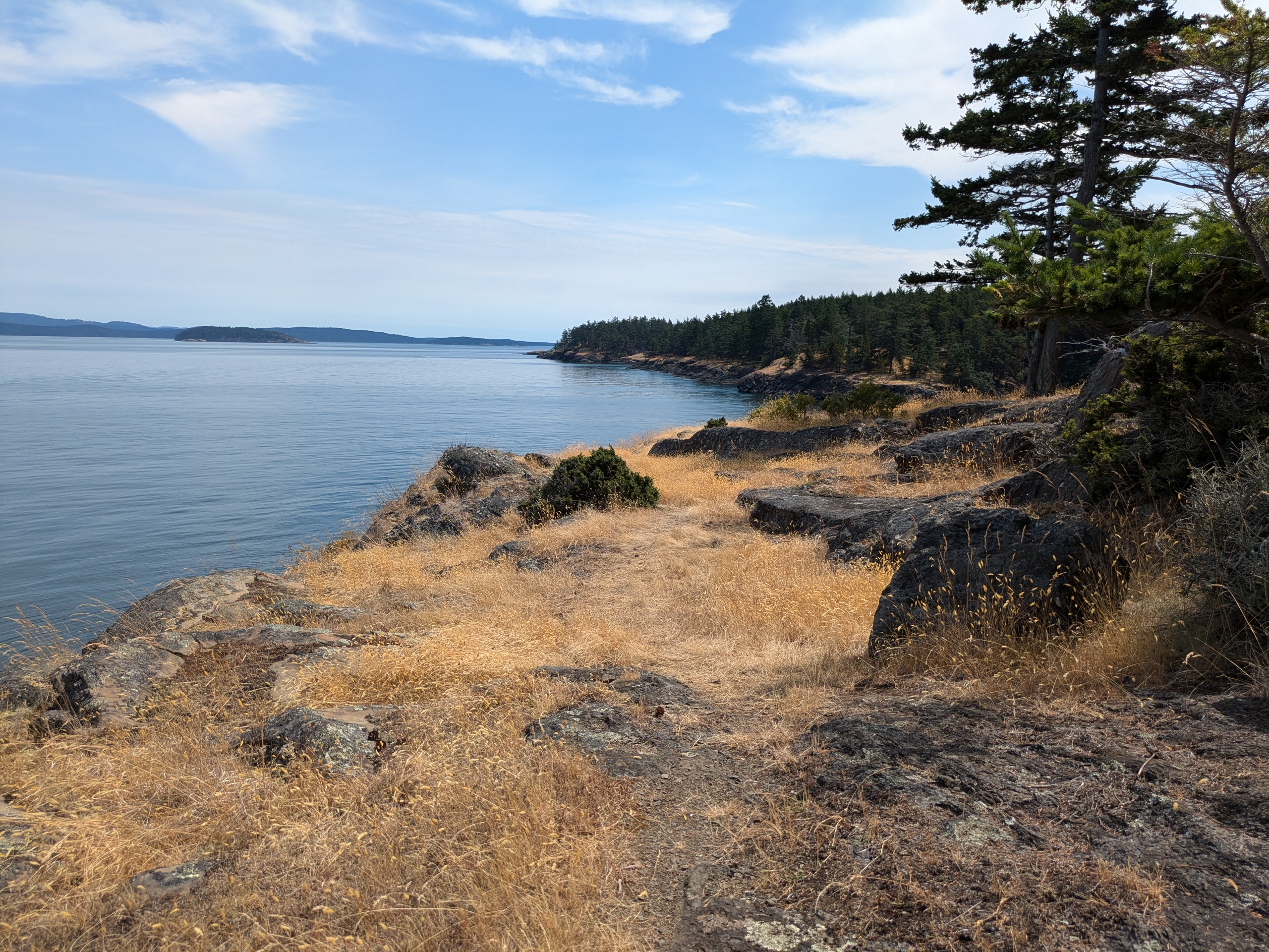
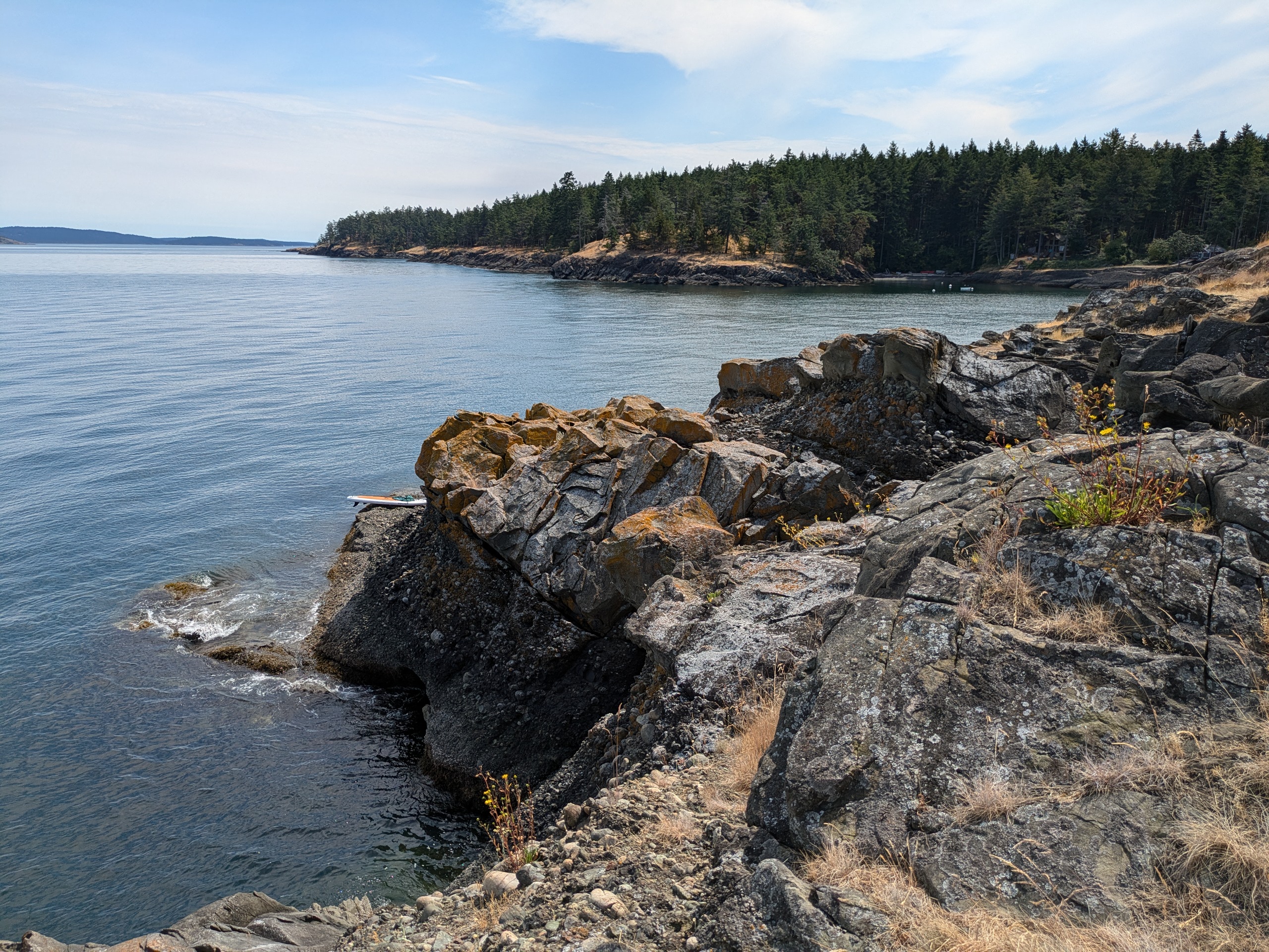
I initially expected Johns to be entirely private, but I disovered that there is a 5.25 acre parcel owned by Washington State Parks with the legal description of "GL 1 JOHNS ISLAND LIGHTHOUSE RESERVE Sec 25, T 37N, R 4W" while browsing county property records. I can't find any reference to "Johns Island Lighthouse Reserve" online, and the property was unmarked and vacent but was accessible. I anchored in Anchorage Cove and paddleboarded to the rocky point. There is a trail along the top of the bluffs heading north. I went as far as I was sure was still on Park's property and did not find anything beyond a few pleasant picnic areas.
I didn't realize this when I visited, but this state park property abbuts camp Nor'Wester. I only know about this camp as a result of seeing its distinctive tipis, and their camp map erroniously lists this parcel as owned by "BLM." Accoroding to their website, Johns island is known as W̱ȾÁEMEṈ by local indingenous groups. I have to say that while I am curious and respectful of indingenous place names, the local tendency of not transliterating them into straight english is inaccessible and offputting. It is equivilent to insisting on calling Moscow "Москва." Like many of the San Juan Islands with English names, Johns island was named during the Wilkes Expedition.
Center Island
- Access: Rocky Beach at State Parks Property
- Date Accessed: 7/29/25
- Size: 176 acres
- Population: 49
- Ownership: Mixed
- Development: Private Homes, Private Airstrip.
Center Island West Shore
Adjacent Farm Property
Center Island Beach
Center Island Shore Trail
I know very little about Center Island. I've never met someone that lives there. It seems that much of the island is under the jurisdiction of a Home Owner's Accoication. Like Johns Island, I was surprised to find that there was Washington State Parks owned land on Center island. Again like Johns, there are no signs indicating that this is state parks land. I anchored off shore and paddled to the rocky beach. There is a trail along the shore, but I headed deeper into the property until I found a fence to the neighboring property.
There are, as of September 2025, eight houses/cabins for sale on Center island which is a surprising number for such a small island. Five of these last sold in 2020 or 2021 — I am guessing that these were aspirational COVID purchases which ultimately saw less use than their owners anticipated.
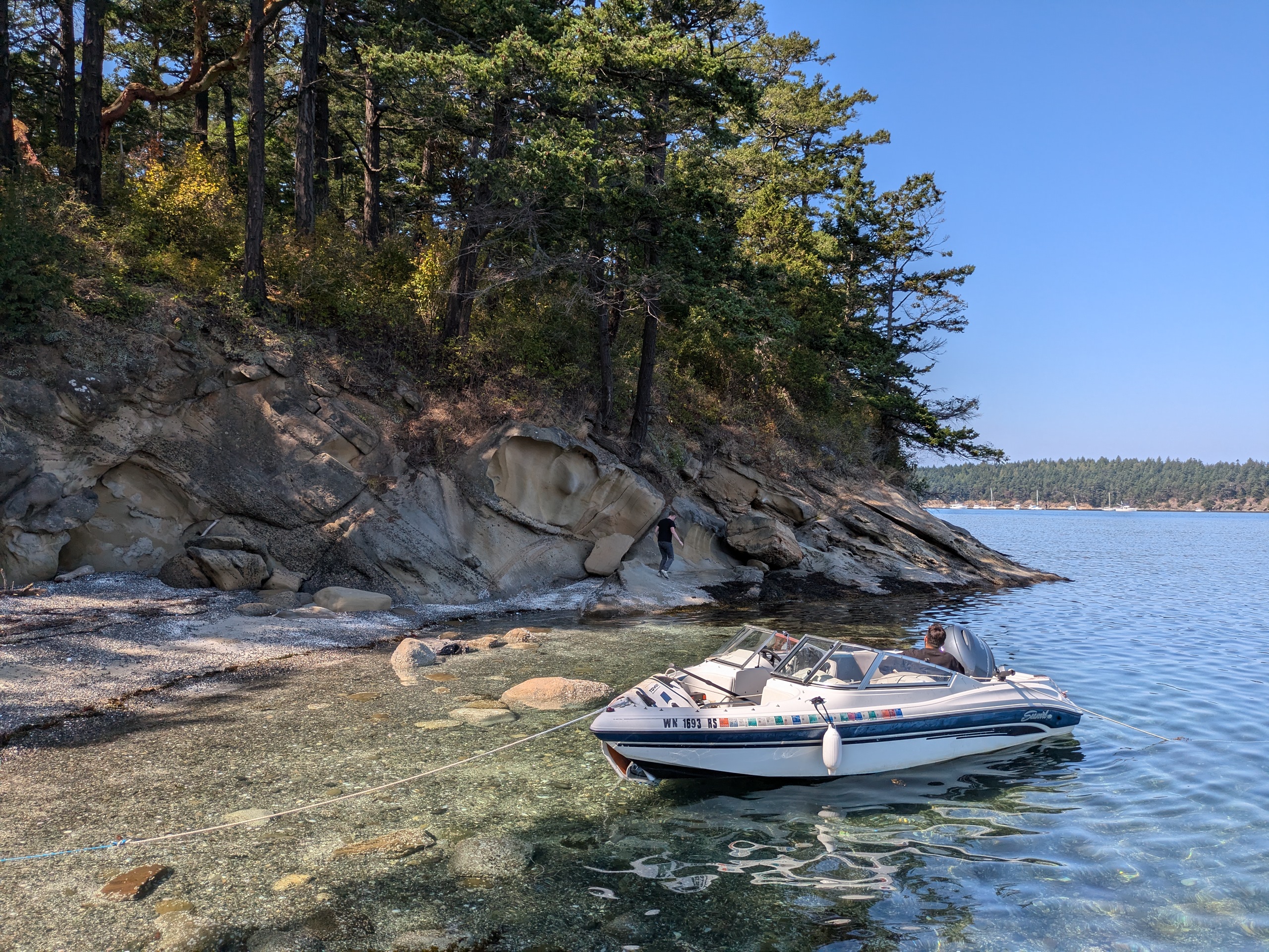
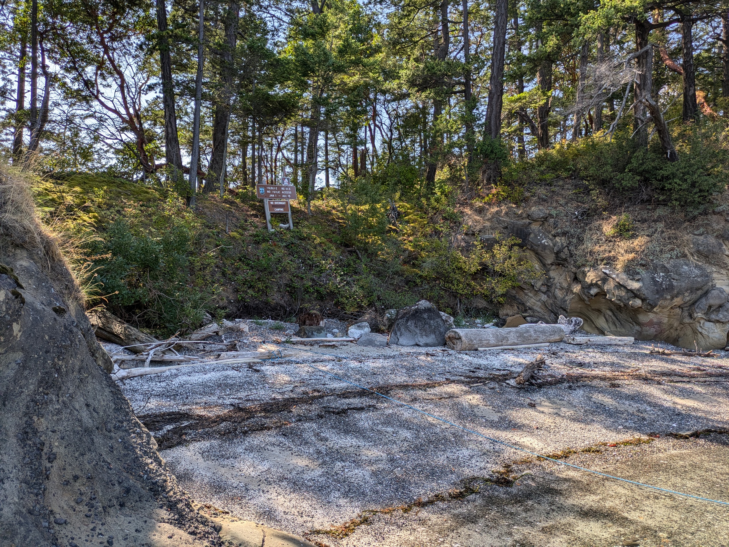
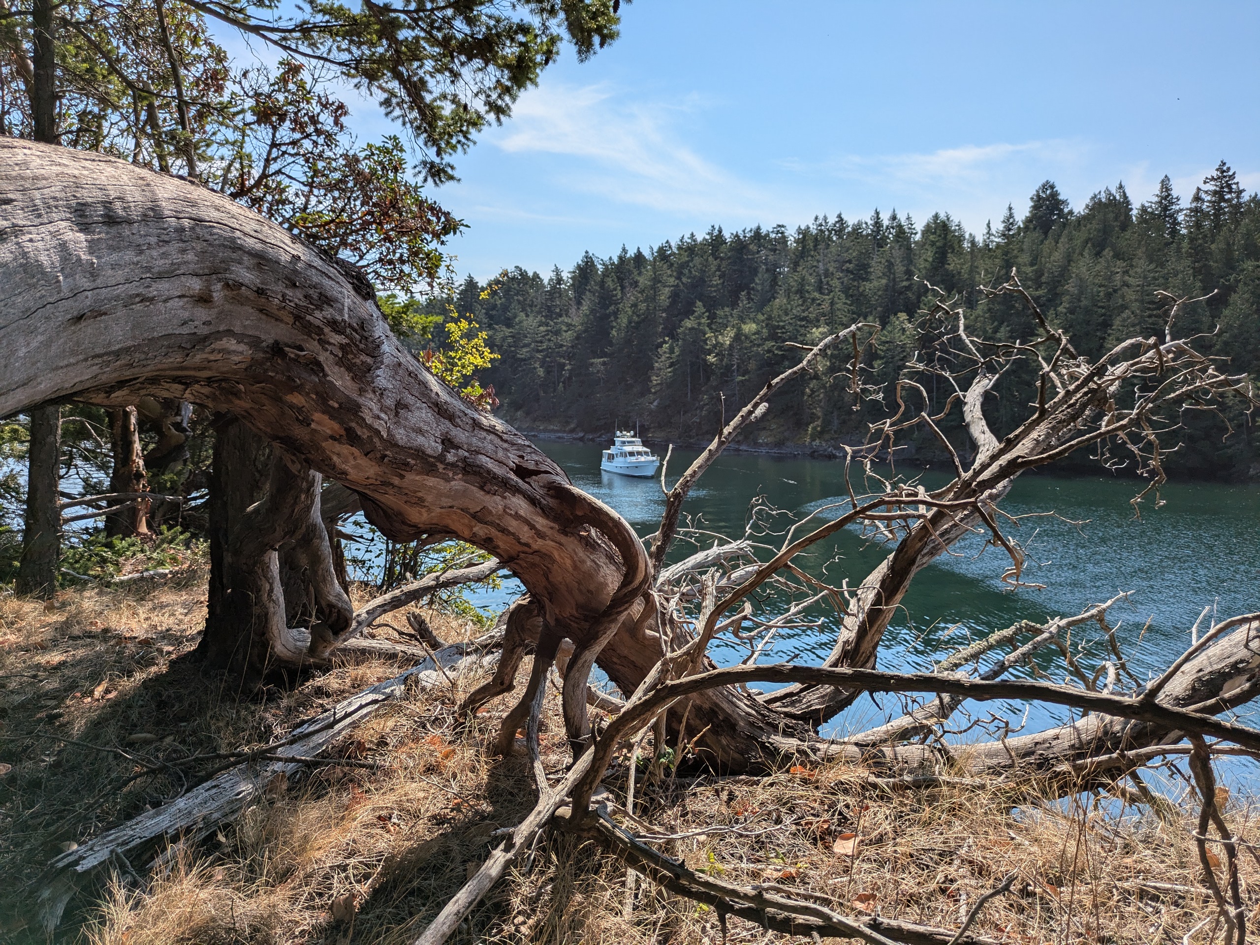
Justice Island
- Access: Rocky Beach
- Date Accessed: 8/30/25
- Size: 3.8 acres
- Population: 0 (one seasonal cabin)
- Ownership: Mixed
- Development: Seasonal cabin.
- Notes: Access restricted to the state parks portion from January through August 15
Boat in North Cove
North Cove
View From South Side
Sign on South Side
There is a private cabin on the west end of this island with a dock. There are no trails on the island that I could find, but its an open forest for the most part. I nosed my boat into the cove at the northwest end of the island. I emailed the parks about why the island is off limits part of the year and did not receive a reply, but I assume its due to nesting shore birds.
I first attempted to access the island in July but saw the sign before attempting landing, so I returned in August while on my way to visit a friend on Patos.
San Juan Island National Historical Park: Guss Island
This island is not accessible to the public.
San Juan Island National Historical Park consists of two non-contiguous areas on San Juan Island: English Camp and America Camp. These sites date back to the Pig War of 1859. Guss Island is part of English Camp, but it is not open to the public. This is shown in the map of English Camp, but I only looked at the overview map showing both propertiesbefore visiting which does not mark Guss as inaccessible.
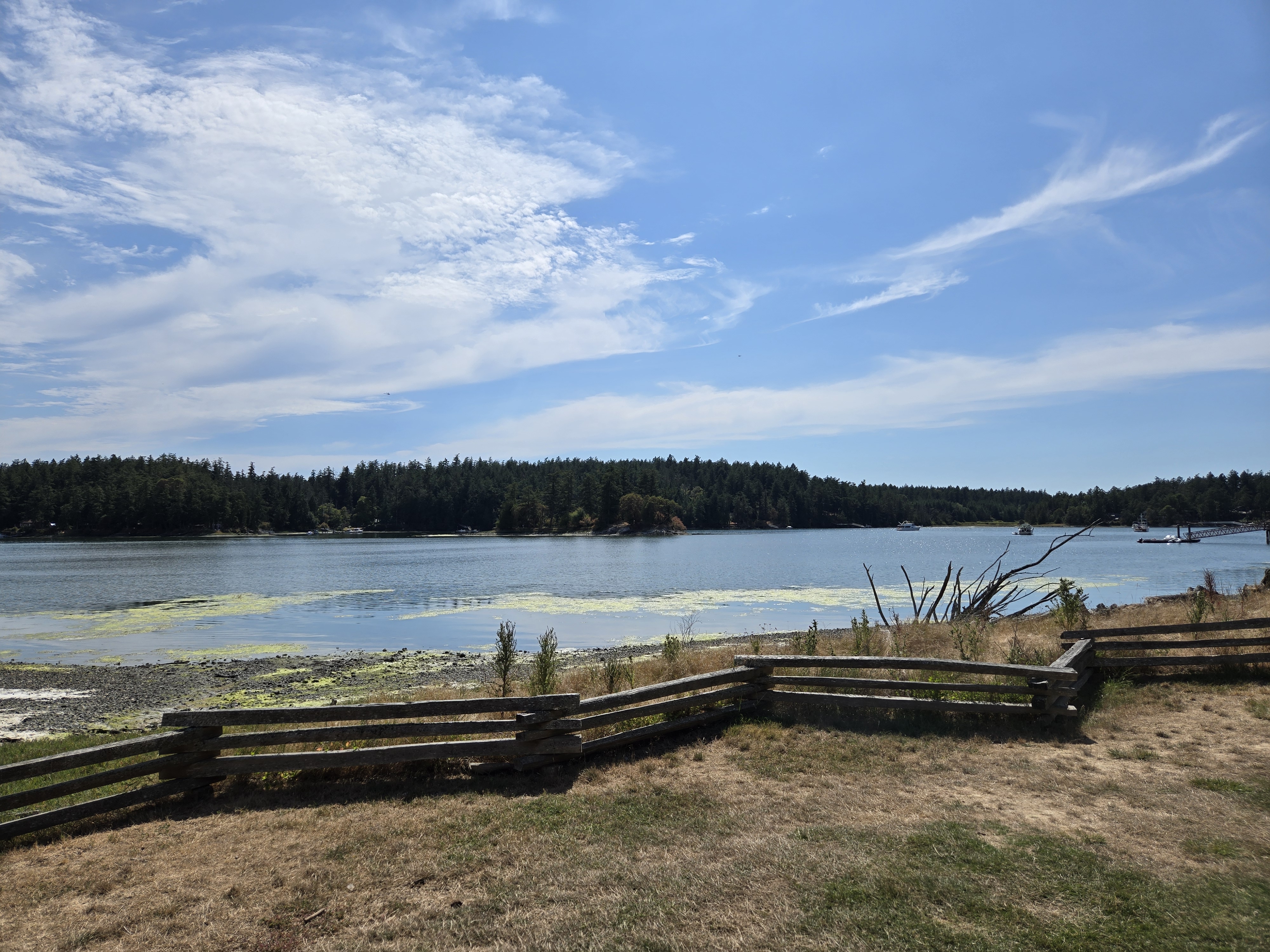
Guss Island From English Camp
I was surprised to find a Dhingy dock at English camp and took an unplanned walk around the grounds before paddleboarding from the dock to Guss. Saw a sign from the water and landed on the tidelands to get a closer look. As it turns out, Guess Island is regarded by the Lummi tribe as their point of origin in the world, so I went no further and did not access the upland areas of the island.
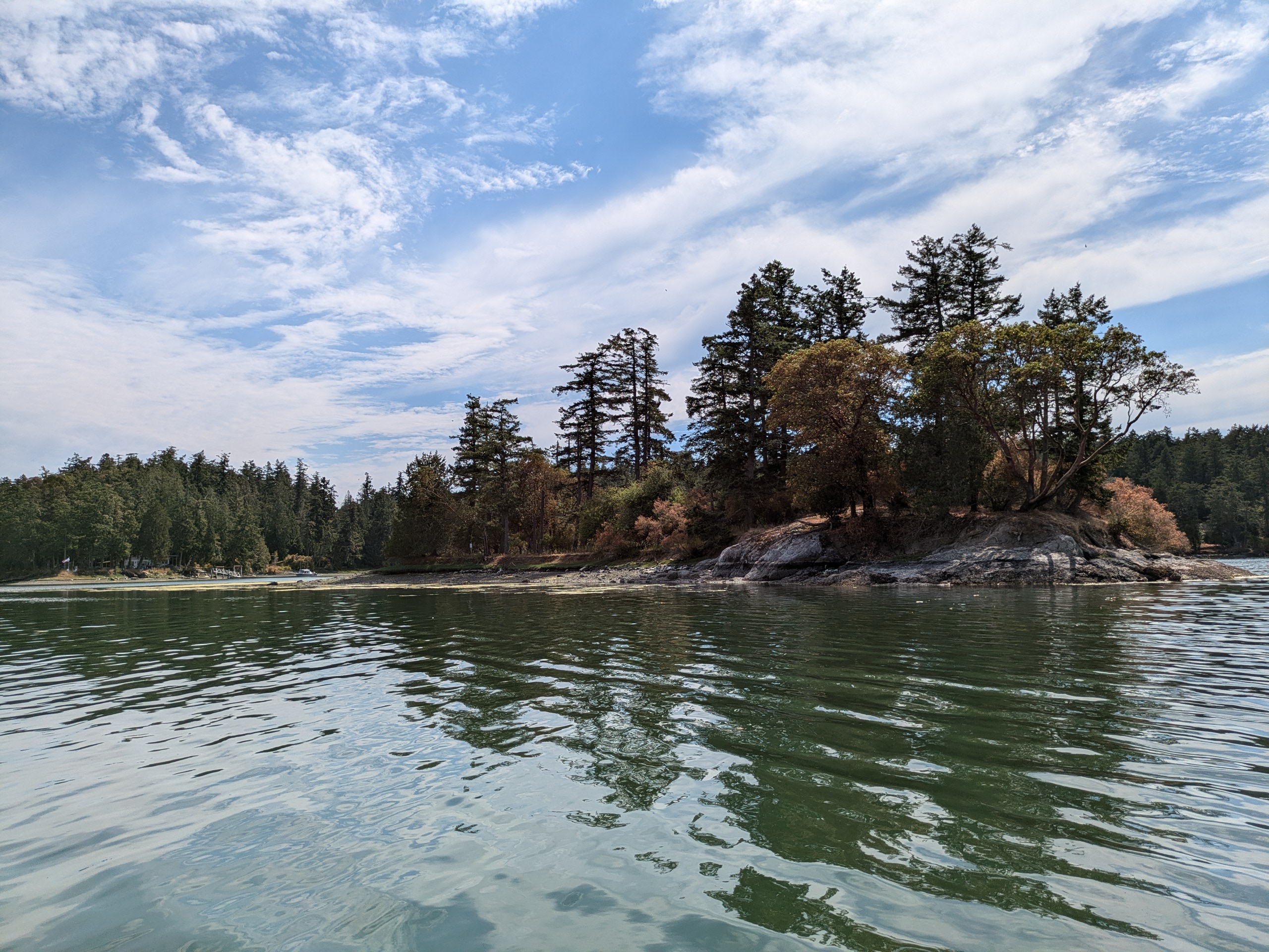
Guss Island
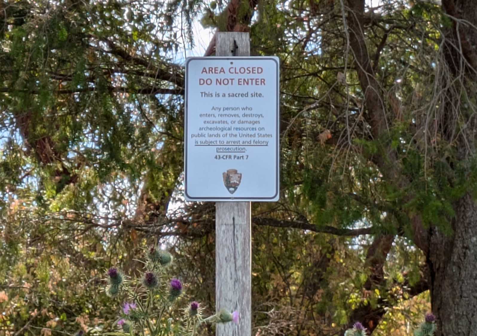
Guss Island Sign
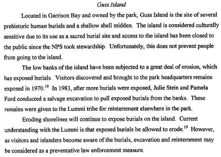
Excerpt From The Admistrative History of The San Juan Island National Historical Park